
Buenos Aires
Ushuaia
Cartagena
South to the end of the road. Then north to the Caribbean.
Provisional · 22 November 2026 – 15 January 2027 · Cartagena arrival January 11
Follow our actual journey · travel journal ↗
THE TRIP AT A GLANCE
Buenos Aires → Ushuaia → Cartagena · 55 days
Trip starts in
- Countries
- 6
- ≈ 9,833 miles · Plan A
- ≈ 15,825 km
- Riding days
- 41
- Rest days
- 14
- Border crossings
- 10
- Average riding day
- —
- Longest day · map time
- —
 Argentina
 Chile
 Bolivia
 Peru
 Ecuador
 Colombia
Plan A · Revised routeArrive in Cartagena January 11. Combines Days 4–5 (Bahía Blanca → Puerto Madryn) into one riding day; removes the Puerto Madryn and Lima rest days and one Máncora rest day. Replaces the Machu Picchu train and visit with a Cusco buffer on December 24 and full Christmas rest on December 25.
Plan B · Original routeArrive in Cartagena January 15—after your 1:35 a.m. flight departs.
Our South America route
The itinerary
Choose a date to open the day below. Revised dates are provisional; bookings and policies are unchanged.
Showing all 55 days
No days match. Try another stop or reset the filters.
01Buenos Aires · arrival & trip briefingArrival day
- Intercity distance
- 0 km
- Country
- Argentina
- Accumulated km · planned
- 0 km
Today’s plan
Arrive in Buenos Aires and meet the group. Review the route, A/B decisions, border papers, bookings and communication plan. Keep the evening relaxed before tomorrow’s bike collection.
02Buenos Aires · collect & prepare the bikesPreparation day
- Intercity distance
- 0 km
- Country
- Argentina
- Accumulated km · planned
- 0 km
Today’s plan
Collect the motorcycles and take them to the arranged workshop for oil, batteries and preparation after shipping. Check tyre pressures, brakes, controls, luggage and documents, then make a short shakedown ride. Record each odometer and next service due before leaving Buenos Aires tomorrow.
Insurance dates · check before departure
Argentina liability must cover cargo/customs release. For all three Spanish-plated bikes, verify plate/VIN, territory, activation and expiry: first Chile entry 2026-11-29; Bolivia 2026-12-19; Peru 2026-12-22; Ecuador 2027-01-04; Colombia 2027-01-07. Chile SOAPEX and Peru/Colombia SOAT are separate checks from regional liability. Verify every Chile re-entry and coverage through the handover. Policies have not been amended.
Do not assume Carta Verde covers Spanish plates. Bolivia’s temporary-foreign-vehicle exemption needs its exact conditions confirmed. Ecuador foreign liability/SPPAT remains unresolved pending official confirmation. Do not enter relying on an unverified exemption.
Bookings and timing · confirmation checklist
Checked November 18, 2026. No private booking confirmations were supplied, so no dated ferry, glacier, hotel, workshop or handover is marked confirmed. All ferry dates, changed hotel nights, original Machu Picchu/train reservations, insurance start/end dates and shipping lead time require direct confirmation. The glacier boat and walk remain required but the precise permitted operator/access is unresolved.
Before the first riding day: obtain a specific cargo-release and preparation appointment for November 23. The holiday/weekend release dependency is not resolved by shifting the riding stages; any late release may consume the Cusco buffer.
Watchpoints: first Chile entry November 29/30; La Quiaca–Villazón December 19/20 (weekend vehicle-customs hours unconfirmed); Desaguadero December 22/23; Cardenal Samoré December 13/14; Máncora paperwork Sunday January 3; Ecuador January 4; Colombia January 7. Check both sides and time zones, not just immigration. Customs opening does not establish insurance office availability.
Somarco northbound ferry December 12/13: exact dated sailing and three motorcycle spaces unconfirmed, two-hour check-in required. Glacier boat December 8/9 and walk December 9/10 need operator acceptance. Any incompatible booking before Cusco may consume the remaining buffer; any later delay may threaten the shipping cutoff. Peru New Year workshop/service and fuel stops also need advance checks.
Somarco · ticket / check-in conditions
Argentina · border-office hours
Chile · current border status / hours
Bolivia · tourist motorcycle admission
Bolivia · customs office hours
SUNAT · CEBAF locations and hours
DIAN · Rumichaca customs hours
CONAF · Exploradores access closure
Colombia · holiday transfer law
Dated logistics & daylight planning
Checked November 19, 2026. Local 24-hour times. Published baselines need reconfirmation for the travel date and holidays; suggested times are targets, not appointments.
Holiday-dependent Ezeiza cargo release and workshop preparation: obtain specific confirmation from the shipper, customs and workshop for Monday November 23. This is an airport/cargo and preparation dependency, not a land-border crossing. An unconfirmed holiday pickup must remain conditional; no appointment is created by this note.
03Buenos Aires → Bahía BlancaRiding day
- Mapped distance · approx.
- 692 km
- Map travel baseline
- 7 h 50 min
- Allow for the whole day
- 9–10h
- Country
- Argentina
- Accumulated km · planned
- 0 km
The route
Buenos Aires → Tres Arroyos → Bahía Blanca · RN3
Today’s ride
Leave early: this is a long first stage across the Pampas, with broad horizons and long straight stretches after Buenos Aires traffic. Build in a proper lunch and short breaks rather than adding sightseeing. Vehicle collection must already be complete before departure.
Check local sunrise/sunset for this revised date; keep a daylight arrival margin.
Riding notes
Paved · long day
Bikes should have been collected and prepared yesterday. Do not begin this long stage until oil, batteries, tyres and documents are ready.
Worth the stopPlaza Rivadavia after arrival
Trade the highway for a short walk around Bahía Blanca’s historic heart. The main square and surrounding civic buildings give the first overnight stop a sense of place, with architecture to photograph and a convenient pause before dinner.
Look for the old street lamps around Plaza Rivadavia: they date from 1925. The square’s formal, symmetrical layout makes a good photograph after the first highway stage.
Source ↗After parking: allow 20–40 min for the local walk or food stop. Access depends on your accommodation; this is not included in the road distance.
Bahía Blanca · historic walking routeWhen to do it · Outdoor stop: use daylight and actual arrival time. No ticketed activity or indoor opening is assumed.
04Bahía Blanca → Puerto Madryn · via San Antonio OesteRiding day
- Mapped distance · approx.
- 679 km
- Map travel baseline
- 8 h 13 min
- Allow for the whole day
- 10–12 h
- Country
- Argentina
- Accumulated km · planned
- 0 km
The route
Bahía Blanca → San Antonio Oeste → Puerto Madryn
Today’s ride
A long planned RN3 transfer: 679 km, 8 h 13 min mapped, allow 10–12 hours with stops. Reassess at San Antonio Oeste. Stop overnight there if tired, running late, facing strong wind or insufficient daylight; do not chase the schedule. Continue from Puerto Madryn to Comodoro Rivadavia the following morning; no Puerto Madryn rest day.
Check local sunrise/sunset for this revised date; keep a daylight arrival margin.
Riding notes
Paved · easy terrain
Watch truck turbulence and allow extra space when exposed to crosswinds.
Worth the stopSan Antonio Bay waterfront
The waterfront is the reward at the end of the steppe: tidal water, boats and the working character of a Patagonian port. Walk a short section of the costanera and watch how the exposed shore changes with the tide; this is an easy arrival stop in your overnight town.
The fishing pier and old railway neighbourhood explain the town’s working-port character. The waterfront changes dramatically with the tide; look at the waterline before choosing your photo spot.
Source ↗After parking: allow 20–40 min for the local walk or food stop. Access depends on your accommodation; this is not included in the road distance.
San Antonio tourism · waterfrontWhen to do it · Outdoor stop: use daylight and actual arrival time. No ticketed activity or indoor opening is assumed.
San Antonio Oeste · overnight fallback
An overnight here puts Puerto Madryn on November 26 and shifts each following stop through Cusco one day later. The December 24 Cusco buffer absorbs that day; December 25 full rest, December 26 departure and January 11 Cartagena arrival stay the same.
05Puerto Madryn → Comodoro RivadaviaRiding day
- Mapped distance · approx.
- 440 km
- Map travel baseline
- 5 h 12 min
- Allow for the whole day
- 7–8h
- Country
- Argentina
- Accumulated km · planned
- 0 km
The route
Puerto Madryn → Comodoro Rivadavia
Today’s ride
A substantial RN3 steppe stage: long straights, sparse services and exposure to crosswinds can make it feel longer than the map suggests. Leave early and treat reliable fuel stops as part of the day. Save coastal exploring for arrival rather than adding a loop.
Check local sunrise/sunset for this revised date; keep a daylight arrival margin.
Riding notes
Paved · wind exposed
Top up in the main service towns; do not trade fuel margin for an optional coastal detour.
Worth the stopComodoro’s sea-and-mesa skyline
Comodoro’s waterfront puts the Atlantic and the distinctive Cerro Chenque in one frame. It is a worthwhile stretch-and-photo stop after the RN3 straights, with the city’s port landscape replacing empty steppe. Enjoy the view from the costanera; no hill climb is included.
Cerro Chenque rises about 212 m beside RN3 and the Atlantic. Its sedimentary layers contain ancient oyster beds—a reminder that this dry-looking landscape has a marine history.
Source ↗After parking: allow 20–40 min for the local walk or food stop. Access depends on your accommodation; this is not included in the road distance.
Comodoro tourism · Cerro ChenqueWhen to do it · Outdoor stop: use daylight and actual arrival time. No ticketed activity or indoor opening is assumed.
Fuel challengePuerto Madryn → Comodoro Rivadavia · 440 km
Fill before leaving; identify an operating stop around Trelew/Garayalde. Do not treat the whole 440 km stage as a verified no-fuel gap. Wind can reduce range.
Check the next working fuel stop locally; no future opening hours or fuel stock are guaranteed.
Find fuel along this corridor06Comodoro Rivadavia → Puerto San JuliánRiding day
- Mapped distance · approx.
- 427 km
- Map travel baseline
- 5 h 22 min
- Allow for the whole day
- 7–8h
- Country
- Argentina
- Accumulated km · planned
- 0 km
The route
Comodoro Rivadavia → Puerto San Julián
Today’s ride
Another open Patagonian riding day, with big skies and mostly steady progress between towns. Start early enough to arrive before museum closing if the Nao Victoria is a priority. Puerto San Julián’s waterfront offers a worthwhile change from the highway without a major detour.
Check local sunrise/sunset for this revised date; keep a daylight arrival margin.
Riding notes
Paved · wind exposed
Break up the straight mileage to manage fatigue; use proper pullouts for photographs.
Worth the stopNao Victoria exterior & waterfront
The full-size ship replica brings Magellan’s expedition into scale beside San Julián bay. For now, enjoy the exterior and waterfront: the official tourism page says the museum is closed for maintenance until further notice. Do not plan an interior visit without reopening confirmation.
At the foot of the ship, the Punto Cero installation reproduces a map by expedition chronicler Antonio Pigafetta. It gives the waterfront a connection to the sailors’ view of Patagonia.
Source ↗After arrival: allow 20–30 min outside, plus local access from your accommodation.
Visitor information ↗When to do it · 27 November, Sunday: museum maintenance closure overrides its normal weekend hours. Exterior stop only unless reopening is confirmed.
Wind-exposed sectionRN3 · Chubut boundary → Caleta Olivia
Crosswinds on the coastal approach to Caleta Olivia can affect control. A Santa Cruz road-safety notice specifically identified this RN3 segment during a severe-wind event on 11 December 2025; it is evidence of exposure, not a warning for your November ride.
Before leaving Comodoro Rivadavia, identify and confirm a staffed indoor waiting place or accommodation in town with permission and suitable bike parking. Reassess before the provincial boundary; if the window is poor, wait in town rather than relying on a roadside stop. Allow flexibility on arrival at Puerto San Julián.
Before entering: check the latest sustained wind, gusts and direction for the full segment and expected riding hours. Check the forecast location, issue time and validity; compare direction with road bends. Verify road surface, restrictions and working fuel stops locally. Download the information before losing signal.
Agree the decision among all three riders: gust direction, surface, experience and loaded bikes matter. There is no universal safe wind threshold. Keep time to wait or stay overnight; do not chase a booking or assume an early start guarantees safe conditions. Do not plan to wait on an exposed shoulder.
Exposure note · sources reviewed 9 Nov 2026. Historical evidence, not a current forecast or confirmation of today’s road surface. No live weather is displayed.
07Puerto San Julián → Río GallegosRiding day
- Mapped distance · approx.
- 359 km
- Map travel baseline
- 4 h 24 min
- Allow for the whole day
- 6–7h
- Country
- Argentina
- Accumulated km · planned
- 0 km
The route
Puerto San Julián → Río Gallegos
Today’s ride
Ride south through exposed steppe toward Río Gallegos. This is a positioning day for tomorrow’s more complicated journey: favour a steady morning departure and an early finish. Use the evening to organise your documents and rest rather than adding a sightseeing ride.
Check local sunrise/sunset for this revised date; keep a daylight arrival margin.
Riding notes
Paved · open steppe
Fill up tonight and keep the border document pack easily accessible.
Worth the stopRío Gallegos estuary walk
The attraction is the huge tidal estuary and its low, open horizon—a distinctly southern landscape rather than another roadside monument. A short costanera walk makes a gentle finish before tomorrow’s borders; bring a windproof layer even if the sun is out.
This estuary supports resident birds and long-distance migrants. The exposed mudflats are feeding grounds, so a low-tide view can be more interesting than an apparently empty stretch of water.
Source ↗After parking: allow 20–40 min for the local walk or food stop. Access depends on your accommodation; this is not included in the road distance.
Río Gallegos · visitor guideWhen to do it · Outdoor stop: use daylight and actual arrival time. No ticketed activity or indoor opening is assumed.
08Río Gallegos → Río GrandeRiding day
- Mapped distance · approx.
- 374.8 km
- Map travel baseline
- 5 h 25 min
- Allow for the whole day
- 8–10h
- Countries
- Argentina → Chile → Argentina
- Accumulated km · planned
- 0 km
The route
Río Gallegos → Terminal de Ferry Bahía Azul → San Sebastián → Río Grande
Today’s ride
Leave early for the journey onto Tierra del Fuego. Open, wind-exposed roads link the Strait of Magellan crossing with the approaches to Río Grande; progress depends as much on waiting time as riding. Enjoy the strait from the boat and keep additional stops brief.
Check local sunrise/sunset for this revised date; keep a daylight arrival margin.
Riding notes
Paved · demanding logistics
Keep the bike stable on exposed stretches; choose safe pullouts rather than narrow road shoulders.
Worth the stopThe Strait of Magellan from the ferry
You are crossing the sea passage that gave explorers a route between the Atlantic and Pacific. Watch Tierra del Fuego approach across the wind-ruffled water: the geography becomes much more memorable from the deck than from a map. Enjoy it during the crossing already required today.
This crossing makes the map tangible: Tierra del Fuego lies on one side of the strait and continental Patagonia on the other. Photograph the shoreline from an approved deck area during the scheduled sailing.
Source ↗Enjoy during the scheduled crossing: no extra road detour or sightseeing time added.
Chile Travel · Strait of MagellanWhen to do it · Outdoor stop: use daylight and actual arrival time. No ticketed activity or indoor opening is assumed.
Ferry crossingPunta Delgada → Bahía Azul
- Boarding: Punta Delgada → Bahía Azul. Operator: TABSA.
- Crossing: about 20 minutes; queues and wind delays are extra.
- Budget reference: US$15–20 per motorcycle from a March 2026 travel guide; current TABSA fare and rider inclusion need confirmation.
- Tickets: buy through TABSA’s Primera Angostura ticket page. Select “Otro” for non-Chilean ID, then enter document/email and follow the vehicle/payment steps.
- Terminal help: TABSA offices at both ramps. Online tickets last 90 days; confirm boarding arrangements and check crossing status before riding there.
Border crossingArgentina → Chile → Argentina · Integración Austral + San Sebastián
- Where to go: First use Integración Austral on RN3/CH-255. After the ferry, use San Sebastián on CH-257/RN3. Both are border stops; the ferry is separate.
- What to do: At each crossing, complete the departing country’s migration and vehicle exit, then the next country’s migration and temporary vehicle admission. At Chile entry, complete the Aduana/SAG declaration.
- Documents: Passport or accepted travel ID, any entry permission required for your nationality, driving licence, original registration/ownership documents and authorization if the bike is not yours. Keep copies offline.
- For this crossing: Active Chile SOAPEX and Argentina liability certificates; retain both countries’ entry/exit records.
- Timing: Use the dated operating baselines and daylight targets below; reconfirm both sides before travel.
Dated hours & daylight planning
Checked November 19, 2026. Local 24-hour times. Published baselines need reconfirmation for the travel date and holidays; suggested times are targets, not appointments.
Sequence: Argentina → Chile at Integración Austral; TABSA Primera Angostura ferry Punta Delgada → Bahía Azul; Chile → Argentina at San Sebastián. The ferry is separate from both land crossings.
Both border-centre pages list opening at 08:00 and entry until 22:00. Departures close earlier: Integración Austral 21:45; San Sebastián 21:40. Migraciones separately lists country-to-country transit 08:00–17:00 at both posts. Use that narrower 08:00–17:00 transit window for planning, not the later entrance cutoff.
Targets, not appointments: leave Río Gallegos around 08:00 and complete San Sebastián by 17:00. Sunday is not a confirmed closure. Wind and ferry queues can consume the buffer: check TABSA status before departure. Ferry operating hours do not extend immigration or motorcycle-customs hours; reconfirm both countries’ vehicle processing.
Argentina · Integración Austral
Wind-exposed sectionPrimera Angostura ferry; RN3 · San Sebastián → Río Grande
Wind can interrupt the Primera Angostura ferry: a 4 March 2026 report reproduced TABSA’s suspension notice. The onward RN3 corridor also overlaps historical government wind-measurement sites at San Sebastián, Estancia Sara and Río Grande. This supports planning for wind exposure, not assuming hazardous weather every day.
Before leaving Río Gallegos, confirm a town-based waiting or overnight option and check TABSA’s operating status. Ask the operator where vehicles may wait if service stops; a queue is not a guaranteed sheltered place. Reassess the RN3 leg before leaving San Sebastián and confirm any indoor waiting arrangement locally. Ferry and border delays need daylight and schedule margin.
Before entering: check the latest sustained wind, gusts and direction for the full segment and expected riding hours. Check the forecast location, issue time and validity; compare direction with road bends. Verify road surface, restrictions and working fuel stops locally. Download the information before losing signal.
Agree the decision among all three riders: gust direction, surface, experience and loaded bikes matter. There is no universal safe wind threshold. Keep time to wait or stay overnight; do not chase a booking or assume an early start guarantees safe conditions. Do not plan to wait on an exposed shoulder.
Exposure note · sources reviewed 9 Nov 2026. Historical evidence, not a current forecast or confirmation of today’s road surface. No live weather is displayed.
09Río Grande → UshuaiaRiding day
- Mapped distance · approx.
- 212 km
- Map travel baseline
- 2 h 53 min
- Allow for the whole day
- 4–5h
- Country
- Argentina
- Accumulated km · planned
- 0 km
The route
Río Grande → Ushuaia
Today’s ride
RN3 changes character as open Fuegian country gives way to forest, lakes and the bends of Paso Garibaldi. This is a scenic day worth riding in daylight without rushing. Leave room for the signed viewpoint before the final descent toward Ushuaia.
Check local sunrise/sunset for this revised date; keep a daylight arrival margin.
Riding notes
Paved · mountain curves
Cold rain and poor visibility can change the pass conditions quickly; adjust pace through the forest bends.
Worth the stopPaso Garibaldi viewpoint
The forested pass opens onto the lakes and mountains of Tierra del Fuego—a memorable contrast with the plains you have crossed. Use the signed parking area; clear visibility makes the stop worthwhile.
Look for two layers of water: Lago Escondido in front and Khami/Fagnano farther back when visibility allows. Garibaldi is a crossing of the Fuegian Andes, not merely a roadside lake stop.
Source ↗On the route: 0–5 min access. Photos: 15–25 min. Total extra: 15–30 min. If obscured, try on Day 11 instead.
Visitor information ↗When to do it · Outdoor viewpoint: stop in daylight only if visibility and safe parking allow. Snow, cloud or strong wind can make the panorama unavailable.
10UshuaiaRest day
- Distance · approx.
- 0 / optional 30–60 km
- Riding time · estimate
- 0 / optional 1–2 h
- Country
- Argentina
- Accumulated km · planned
- 0 km
The plan
Ushuaia base → optional Tierra del Fuego National Park → Ushuaia
Today’s plan
A proper pause at the end of the continent. Sleep in if you have no booked excursion, walk the waterfront and make time for a centolla meal. Keep any Beagle Channel or national-park outing within this rest day, and have tomorrow’s Chile documents ready tonight.
Check local sunrise/sunset for this revised date; keep a daylight arrival margin.
Worth the stopCentolla dinner in Ushuaia
Ushuaia’s king crab is a distinctive taste of the far south, with delicate, sweet meat. Make it your evening meal in town, paired with a waterfront stroll rather than a separate excursion.
Centolla comes from cold southern waters, traditionally the Beagle Channel. Argentina’s tourism guide highlights November–January for tasting it; ask for a simple preparation that lets the delicate meat stand out.
Source ↗In town: walk from nearby accommodation where practical. Meal: about 60–90 min; no additional road excursion needed.
Visitor information ↗When to do it · 1 December: choose a restaurant and confirm dinner service and king-crab availability that day; no specific restaurant reservation is included.
11Ushuaia → Cerro SombreroRiding day
- Mapped distance · approx.
- 419 km
- Map travel baseline
- 5 h 18 min
- Allow for the whole day
- 7–8h
- Countries
- Argentina → Chile
- Accumulated km · planned
- 0 km
The route
Ushuaia → Cerro Sombrero
View route reference image
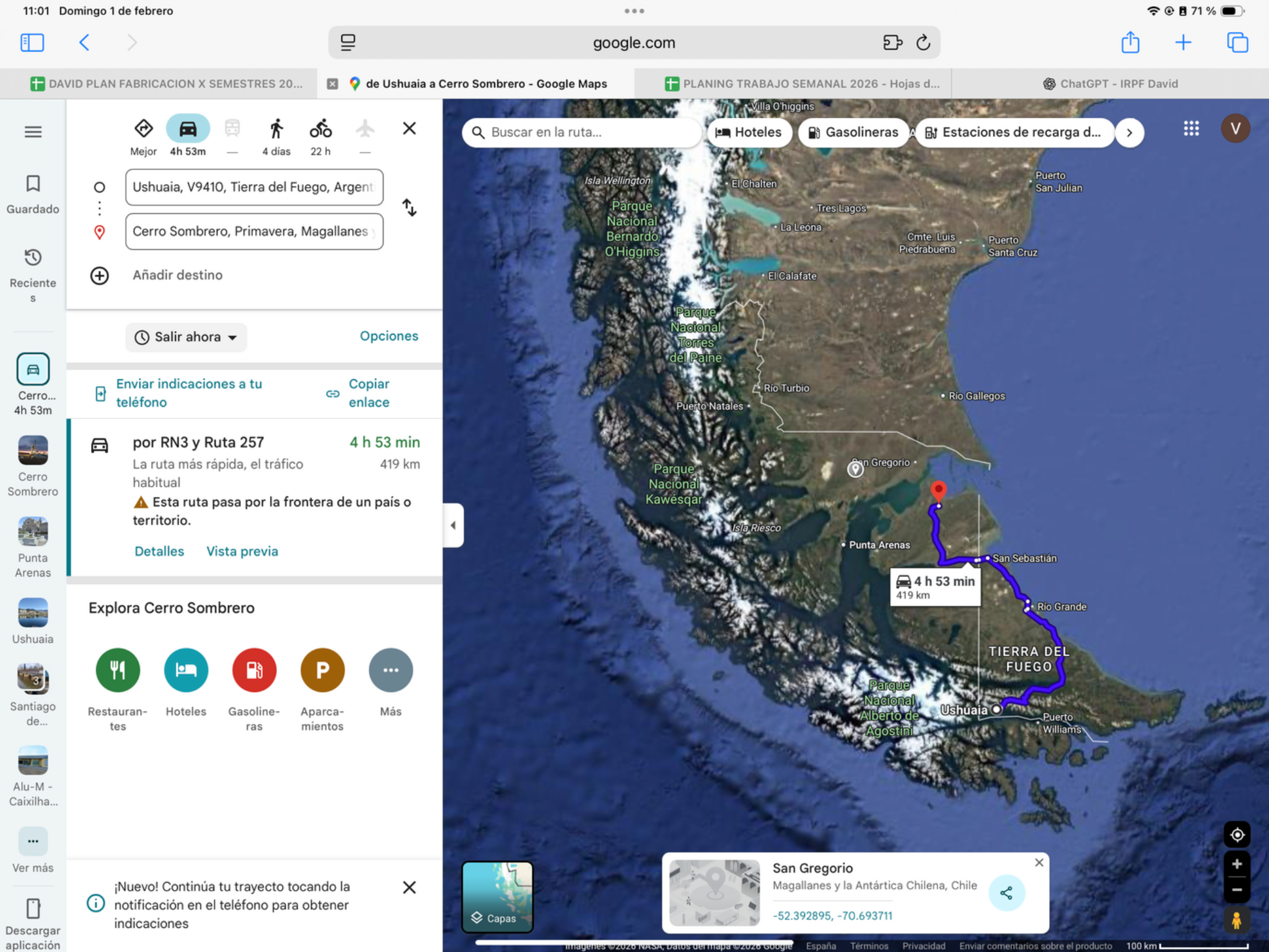
Today’s ride
Retrace the forested Garibaldi section, then return to Tierra del Fuego’s open plains. The repeated road is intentional on the way out of Ushuaia. Start in the morning to protect border time; stop at Garibaldi only if you missed it on Day 9.
Check local sunrise/sunset for this revised date; keep a daylight arrival margin.
Riding notes
Paved · wind exposed
Check tomorrow’s TABSA service before settling in; an advance ticket does not guarantee a sailing slot.
Worth the stopPaso Garibaldi · only if missed on Day 9
A second chance for the forest-and-lake panorama on the road you must retrace from Ushuaia. Skip the stop if you already enjoyed it southbound; it should not compete with border time.
Khami/Fagnano extends across the Argentina–Chile border. If the southbound pass was clouded over, today may offer a second look at the layered lakes; otherwise keep the border-day stop brief.
Source ↗On route: 0–5 min access + 15–25 min photos = 15–30 min extra. Optional, visibility and schedule permitting.
Visitor information ↗When to do it · Repeat viewpoint only if missed southbound and border timing remains comfortable.
Border crossingArgentina → Chile · San Sebastián
- Where to go: Follow RN3 to the Argentine San Sebastián control, then CH-257 to the Chilean control before continuing to Cerro Sombrero.
- What to do: Record Argentina exit for rider and motorcycle; complete Chile migration, temporary vehicle admission and the Aduana/SAG declaration.
- Documents: Passport or accepted travel ID, any entry permission required for your nationality, driving licence, original registration/ownership documents and authorization if the bike is not yours. Keep copies offline.
- For this crossing: Issued Chile SOAPEX covering this entry; Argentina temporary-import record to close at exit.
- Timing: Use the dated operating baselines and daylight targets below; reconfirm both sides before travel.
Dated hours & daylight planning
Checked November 19, 2026. Local 24-hour times. Published baselines need reconfirmation for the travel date and holidays; suggested times are targets, not appointments.
San Sebastián, Argentina → Chile. Border-centre reference: 08:00 opening, 21:40 departure cutoff, 22:00 entry cutoff; Migraciones lists country-to-country transit 08:00–17:00. Plan within the narrower 08:00–17:00 window, cross in daylight and reconfirm both motorcycle-customs desks. Record both rider and motorcycle on Argentina exit and Chile entry.
Wind-exposed sectionRN3 · Río Grande → San Sebastián
This northbound leg passes the same open northern-island corridor as Day 8. Historical government wind mapping included Río Grande, Estancia Sara on RN3 and the San Sebastián border area. Crosswinds can change as the road turns; these measurements establish exposure, not the conditions on 4 December.
Use Río Grande as the decision point before continuing towards San Sebastián. Identify and confirm an indoor waiting or overnight option there, with suitable bike parking and permission. Ask about border hours and the onward road to Cerro Sombrero; allow a delay rather than relying on an unverified roadside shelter.
Before entering: check the latest sustained wind, gusts and direction for the full segment and expected riding hours. Check the forecast location, issue time and validity; compare direction with road bends. Verify road surface, restrictions and working fuel stops locally. Download the information before losing signal.
Agree the decision among all three riders: gust direction, surface, experience and loaded bikes matter. There is no universal safe wind threshold. Keep time to wait or stay overnight; do not chase a booking or assume an early start guarantees safe conditions. Do not plan to wait on an exposed shoulder.
Exposure note · sources reviewed 9 Nov 2026. Historical evidence, not a current forecast or confirmation of today’s road surface. No live weather is displayed.
12Cerro Sombrero → Punta ArenasRiding dayLogistic task
- Mapped distance · approx.
- 217.4 km
- Map travel baseline
- 3 h 07 min
- Allow for the whole day
- 6–8h
- Country
- Chile
- Accumulated km · planned
- 0 km
The route
Cerro Sombrero → Terminal de Ferry Bahía Azul → Punta Arenas
View route reference image
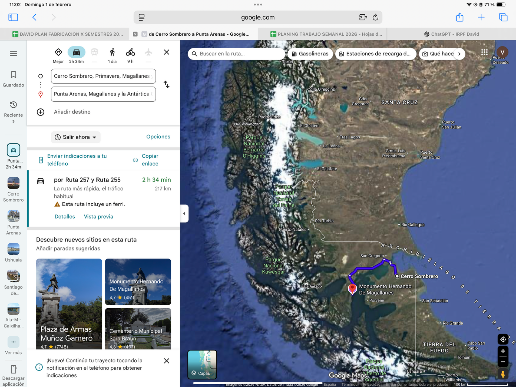
Today’s ride
A shorter riding distance, but not a guaranteed late start: the strait crossing sets the pace. After reaching the mainland, open roads lead toward Punta Arenas. If service runs smoothly, use the spare afternoon for the waterfront rather than adding another road excursion.
Check local sunrise/sunset for this revised date; keep a daylight arrival margin.
Riding notes
Paved · ferry day
Expect exposed mainland sections; leave space around trucks when gusts pick up.
Worth the stopPunta Arenas waterfront
Finish beside the Strait of Magellan, where ships, southern skies and the city’s maritime setting tell the story of this gateway to Patagonia. A waterfront stroll after parking adds atmosphere without another excursion; use the ferry crossing itself for the open-water photographs.
Punta Arenas is also a base for Antarctic exploration. The working waterfront is a good place to appreciate its role as a southern maritime gateway, rather than simply another overnight city.
Source ↗After parking: allow 20–40 min for the local walk or food stop. Access depends on your accommodation; this is not included in the road distance.
Chile Travel · Punta ArenasWhen to do it · Outdoor stop: use daylight and actual arrival time. No ticketed activity or indoor opening is assumed.
Ferry crossingBahía Azul → Punta Delgada
- Boarding: Bahía Azul → Punta Delgada. Operator: TABSA.
- Crossing: about 20 minutes; queues and wind delays are extra.
- Budget reference: US$15–20 per motorcycle from a March 2026 travel guide; current TABSA fare and rider inclusion need confirmation.
- Tickets: buy through TABSA’s Primera Angostura ticket page. Select “Otro” for non-Chilean ID, then enter document/email and follow the vehicle/payment steps.
- Terminal help: TABSA offices at both ramps. Online tickets last 90 days; confirm boarding arrangements and check crossing status before riding there.
Dated logistics & daylight planning
Checked November 19, 2026. Local 24-hour times. Published baselines need reconfirmation for the travel date and holidays; suggested times are targets, not appointments.
Bahía Azul → Punta Delgada on Primera Angostura is a domestic Chilean ferry leg today, not another international border crossing. Check TABSA operating status and queues before departure; no dated sailing or uninterrupted service is guaranteed by the border timetable.
Wind-exposed sectionPrimera Angostura · Bahía Azul ↔ Punta Delgada
The route uses the Primera Angostura ferry again, reached from Cerro Sombrero via CH257. Wind can suspend this crossing: the historical 4 March 2026 report reproduced TABSA’s closure notice. This is a weather-dependent transport bottleneck, not a current suspension.
Check TABSA before leaving Cerro Sombrero. Confirm a waiting or overnight arrangement in town with permission and suitable bike parking. If already at Bahía Azul, follow crew instructions and ask for an approved waiting area; do not assume the terminal or roadside is sheltered. Keep the arrival in Punta Arenas flexible.
Before entering: check the latest sustained wind, gusts and direction for the full segment and expected riding hours. Check the forecast location, issue time and validity; compare direction with road bends. Verify road surface, restrictions and working fuel stops locally. Download the information before losing signal.
Agree the decision among all three riders: gust direction, surface, experience and loaded bikes matter. There is no universal safe wind threshold. Keep time to wait or stay overnight; do not chase a booking or assume an early start guarantees safe conditions. Do not plan to wait on an exposed shoulder.
Exposure note · sources reviewed 9 Nov 2026. Historical evidence, not a current forecast or confirmation of today’s road surface. No live weather is displayed.
13Punta Arenas → El CalafateRiding day
- Mapped distance · approx.
- 491 km
- Map travel baseline
- 6 h 17 min
- Allow for the whole day
- 9–11h
- Countries
- Chile → Argentina
- Accumulated km · planned
- 0 km
The route
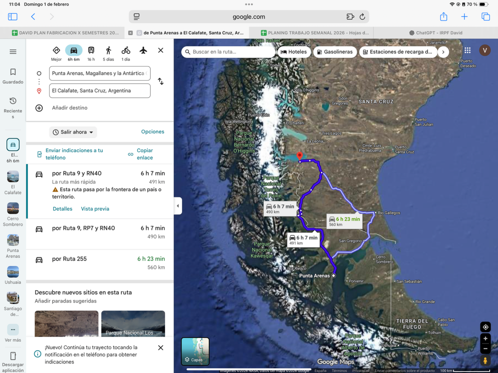
Punta Arenas → Ruta 9 / CH-253 → Laurita–Casas Viejas → RN40 / RP7 → El Calafate
Alternative route
Via Esperanza · avoid RP7
Choose this if the RP7 surface is unsuitable for the bikes or conditions. The trade-off is about 83 km and 35 minutes extra. It uses the same border crossing.
574 km · about 6 h 50 min driving. Laurita–Casas Viejas → RN40 via Esperanza → RP11 → El Calafate. Confirm RN293 and current road conditions.
Driving estimates checked 11 Oct 2026; stops and border queues are extra. Check live conditions. Dashboard and master line remain Plan A.View route reference image
Today’s ride
Leave early for Laurita–Casas Viejas, the crossing used by the saved route. After the border, the route includes the RP7 shortcut before reaching Lago Argentino. Keep photo stops short until formalities are complete; this is a full travel day.
Check local sunrise/sunset for this revised date; keep a daylight arrival margin.
Riding notes
Mixed surface · RP7 condition check
The saved route includes about 65 km of RP7. Check gravel and wind before committing. The route section offers an Esperanza alternative that avoids RP7, adding roughly 83 km / 35 minutes of driving. Confirm conditions on the border approach too.
Worth the stopLago Argentino from El Calafate
The lakeside edge of town is a first taste of glacier country: open water, mountain horizons and the wetlands around Laguna Nimez. Choose a short waterfront look after arrival. Entering the bird reserve is a separate visit with its own admission and closing time, not part of this quick stop.
Laguna Nimez’s wetland is an important bird-conservation area close to the town centre. Its full interpretive trail is 3 km; treat that as a separate visit rather than part of this quick lakeside look.
Source ↗After parking: allow 20–40 min for the local walk or food stop. Access depends on your accommodation; this is not included in the road distance.
El Calafate tourism · Laguna NimezWhen to do it · Outdoor stop: use daylight and actual arrival time. No ticketed activity or indoor opening is assumed.
Border crossingChile → Argentina · Laurita–Casas Viejas
- Where to go: Use CH-253 / RN293 at Laurita–Casas Viejas. Follow the day’s map to this crossing, not the nearby Dorotea crossing.
- What to do: Complete Chile migration and vehicle exit, then Argentina migration and temporary vehicle admission. Check the recorded plate and permitted stay before leaving.
- Documents: Passport or accepted travel ID, any entry permission required for your nationality, driving licence, original registration/ownership documents and authorization if the bike is not yours. Keep copies offline.
- For this crossing: Chile temporary-admission record and active Argentina liability insurance covering re-entry.
- Timing: Use the dated operating baselines and daylight targets below; reconfirm both sides before travel.
Dated hours & daylight planning
Checked November 19, 2026. Local 24-hour times. Published baselines need reconfirmation for the travel date and holidays; suggested times are targets, not appointments.
Use the actual route crossing Laurita–Casas Viejas, Chile → Argentina. Chile’s published bulletin (updated April 7, 2026) lists outbound service 08:00–19:30. Recheck the schedule applicable on December 4 and both vehicle desks; target a midday crossing. Do not substitute Dorotea or Río Don Guillermo merely because their hours differ.
Unpaved sectionsRP7 shortcut · about 65 km of gravel
- Where / distance: the saved route uses 64.6 km of RP7 between the RN40 junction near Tapi Aike and El Cerrito, after the border and before El Calafate.
- Expect loose gravel and wind exposure. The provincial road report identifies gravel on RP7; its latest displayed conditions are dated August, not your December travel day.
- If wet, badly corrugated or uncomfortable on loaded bikes, use the Esperanza alternative above. It avoids this shortcut but adds about 83 km.
Ruta 40 · ArgentinaRío Turbio area → El Calafate approach
This day uses part of Argentina’s RN40 in the segment named above. Ruta 40 is the long north–south highway along the Argentine side of the Andes; this badge does not mean every kilometre today is on RN40. Keep the saved route and border choices: local approaches and other connecting roads remain part of the day.
Official highway background14Perito Moreno GlacierRiding / glacier visit
- Mapped distance · approx.
- 153.3 km
- Map travel baseline
- 2 h 32 min
- Allow for the whole day
- Half/full day including glacier visit
- Country
- Argentina
- Accumulated km · planned
- 0 km
The plan
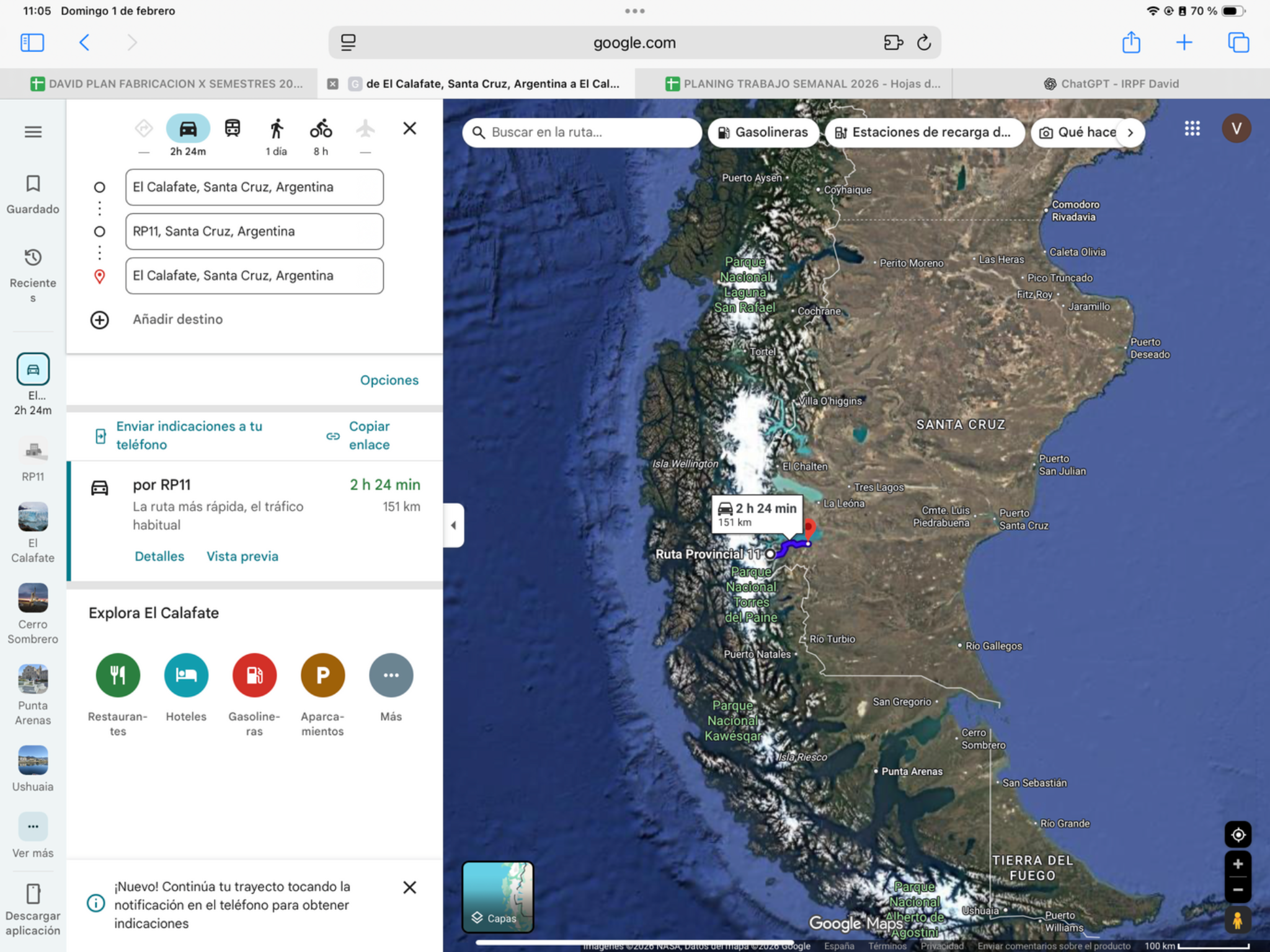
El Calafate → Pasarelas Glaciar Perito Moreno → El Calafate
View route reference image
Today’s plan
This riding day includes the planned return ride to Perito Moreno Glacier. The reward is time on the walkways facing the ice wall, not covering more distance. Leave in the morning and allow several hours for different viewpoints; any boat or ice activity needs its own booking.
Check local sunrise/sunset for this revised date; keep a daylight arrival margin.
Worth the stopPerito Moreno: hear the ice
The boardwalks put you opposite an immense wall of fractured blue-white ice. Pause at more than one balcony: the changing angle reveals crevasses and scale, while cracks and occasional collapses make the glacier feel alive. Calving is unpredictable—allow time to watch rather than expecting an event on cue.
The glacier front is roughly 5 km wide and rises around 60 m above the lake. Put a boat or a person in the frame to show its scale, then pause quietly to hear the ice.
Source ↗Within today’s planned activity time; any operator transfer and meeting point must be confirmed separately.
Argentina Travel · glacier experienceWhen to do it · 5 December, Monday: published summer park entry 08:00–18:00, remain until 20:00. Allow roughly 2–3 h on the boardwalks plus the return drive; leave the glacier well before the park deadline. Boat/ice-trek bookings are separate.
Schedule / sourceGlacier activity · operator confirmation needed
Revised date 2026-12-05. Keep the glacier activity, but confirm the exact glacier, operator, authorised access, meeting port/transport and the existing reservation’s change terms. Boat and walk days remain provisional. CONAF closed frontal public access to Exploradores; do not treat an old ice-walk listing as permission or substitute another excursion without agreement.
15El Calafate → Gobernador GregoresLos Malditos 73 · RN40Riding day
- Mapped distance · approx.
- 335 km
- Map travel baseline
- 3 h 54 min
- Allow for the whole day
- 5–6h
- Country
- Argentina
- Accumulated km · planned
- 0 km
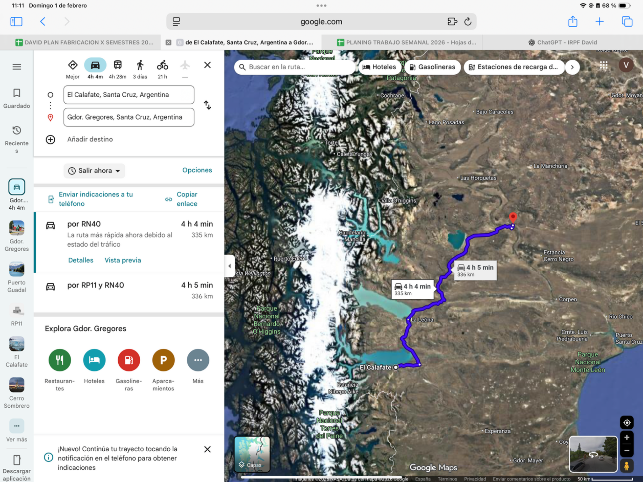
The route
El Calafate → Gobernador Gregores
View route reference image
Today’s ride
A classic remote RN40 day through Tres Lagos toward Gobernador Gregores: immense steppe, long empty stretches and little shelter from wind. Leave early with a conservative fuel plan. Keep any gravel or roadwork sections unhurried and protect a daylight arrival.
Check local sunrise/sunset for this revised date; keep a daylight arrival margin.
Riding notes
RN40 · possible loose gravel + strong crosswinds. Reassess in Tres Lagos before Los Malditos 73; see the wind warning below.
Check surfacing and works around Tres Lagos before accepting a shortcut. Confirm the glacier operator and pickup location for Days 15–18.
Worth the stopRuta 40’s immense steppe
Today’s memorable view is the road itself: long sightlines, sparse settlement and the sense of crossing Patagonia at its true scale. Use an existing safe turnout for one wide landscape photograph. This is a brief scenic pause, not an invitation to follow remote tracks away from the planned road.
Ruta 40 runs for more than 5,000 km alongside the Andes. Here its appeal is the wind-shaped steppe and enormous distance between settlements: a motorcycle photograph with the road disappearing into the horizon.
Source ↗Keep it brief: roadside scenery or a short arrival walk. Budget 15–30 minutes if you stop; no separate excursion is included. Use safe on-route pullouts, or check local access from your accommodation.
Argentina Travel · destination informationWhen to do it · Outdoor stop: use daylight and actual arrival time. No ticketed activity or indoor opening is assumed.
Fuel challengeEl Calafate → Gobernador Gregores · 335 km
Start full and verify fuel in Tres Lagos before relying on it. If it is unavailable, confirm your usable range and an alternative before leaving the last working pump.
Check the next working fuel stop locally; no future opening hours or fuel stock are guaranteed.
Find fuel along this corridorWind-exposed sectionRN40 · Tres Lagos → Gobernador Gregores / Los Malditos 73
Loose gravel plus strong crosswinds can make this corridor substantially harder than a moderate mixed-surface day. Mad or Nomad’s 2025 firsthand account describes rutted gravel, loose stones and sidewinds on Los Malditos 73, with wind arriving earlier than their app predicted. Santa Cruz Resolution 286/2025 separately records concern about the 73 km section between Tres Lagos and Gregores. Neither source confirms today’s surface.
Decision point: stop in Tres Lagos BEFORE committing northbound on RN40. Recheck the corridor forecast and ask tourism/police or road staff about loose gravel, works, restrictions and fuel in Tres Lagos and Gregores. Agree as a group whether to enter; if conditions are poor, arrange to wait indoors or overnight in town before leaving. Do not count on stopping safely on the exposed section.
Local fallback: Hostería Tres Lagos is listed in the tourism office’s 2026–27 accommodation guide (WhatsApp numbers as published: 011-67085932 / 011-59783425). The listing is verified; opening, availability, permission to wait indoors and suitable bike parking are NOT confirmed. Arrange these directly, or ask Turismo Tres Lagos on +54 9 2966 342484 for an available alternative. Do not treat a campsite as wind shelter.
Schedule consequence: waiting today could affect the already-long 7 December leg to Puerto Guadal (mapped 533 km / 7 h 16 min, with 10–12 h allowed for the border and stops). Reassess daylight, border hours and bookings if delayed; dates are revised and provisional; actual bookings remain unchanged and the Chile route is retained.
Before entering: check the latest sustained wind, gusts and direction for the full segment and expected riding hours. Check the forecast location, issue time and validity; compare direction with road bends. Verify road surface, restrictions and working fuel stops locally. Download the information before losing signal.
Agree the decision among all three riders: gust direction, surface, experience and loaded bikes matter. There is no universal safe wind threshold. Keep time to wait or stay overnight; do not chase a booking or assume an early start guarantees safe conditions. Do not plan to wait on an exposed shoulder.
Exposure note · sources reviewed 9 Nov 2026. Historical evidence, not a current forecast or confirmation of today’s road surface. No live weather is displayed.
Ruta 40 · ArgentinaEl Calafate approach → Tres Lagos → Gobernador Gregores
This day uses part of Argentina’s RN40 in the segment named above. Ruta 40 is the long north–south highway along the Argentine side of the Andes; this badge does not mean every kilometre today is on RN40. Keep the saved route and border choices: local approaches and other connecting roads remain part of the day. Los Malditos 73 is the nickname of a roughly 73 km section within this RN40 corridor, not a separate highway. See the separate wind warning for gravel, crosswinds and the Tres Lagos decision point.
Official highway background16Gobernador Gregores → Puerto GuadalRiding day
- Mapped distance · approx.
- 533.2 km
- Map travel baseline
- 7 h 16 min
- Allow for the whole day
- 10–12h
- Countries
- Argentina → Chile
- Accumulated km · planned
- 0 km
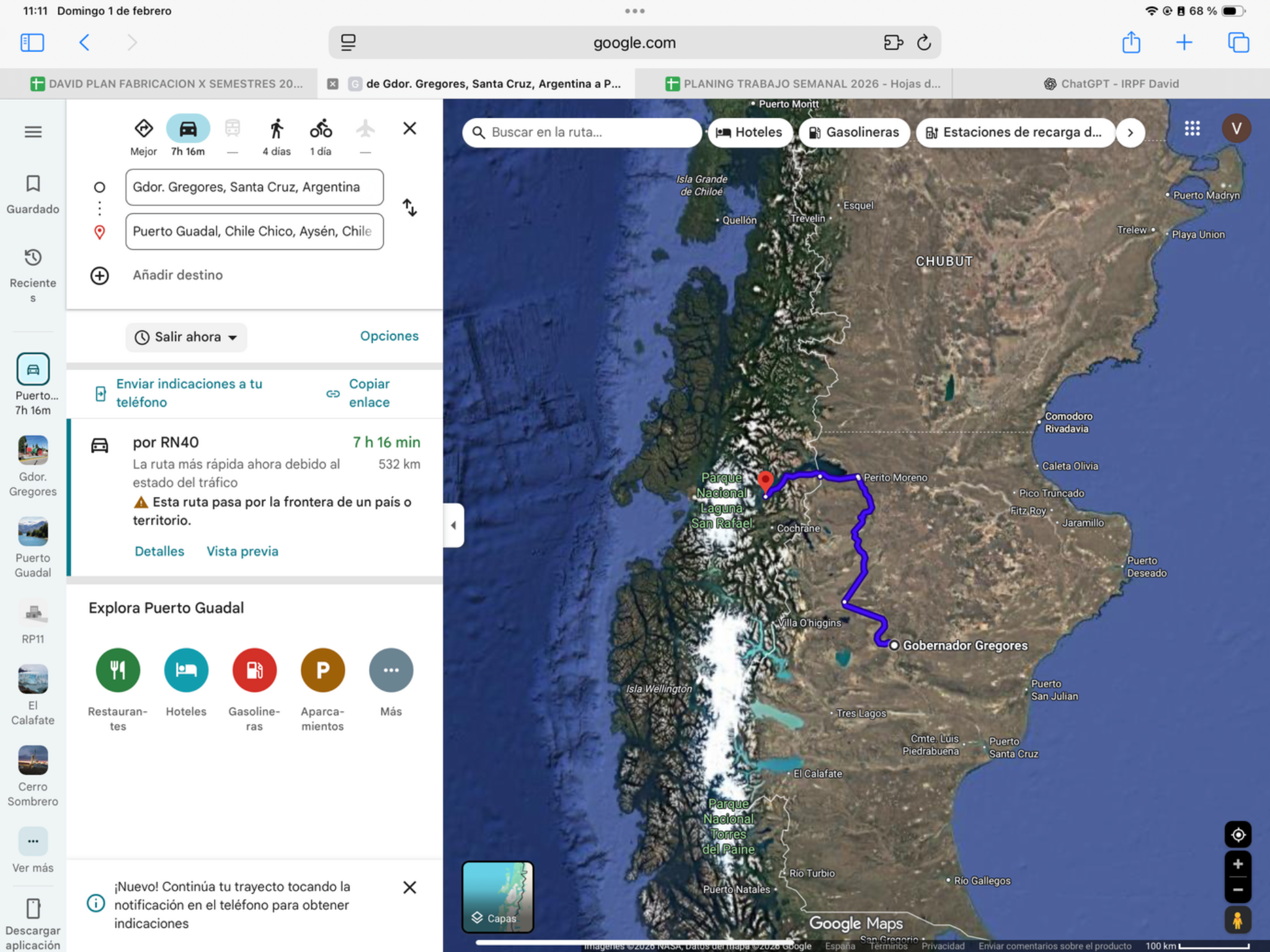
The route
Gobernador Gregores → Perito Moreno → Los Antiguos → Chile Chico → Puerto Guadal
View route reference image
Today’s ride
A long transition from Argentine steppe to the dramatic shore of Lago General Carrera. After Los Antiguos and Chile Chico, the lakeside road toward Puerto Guadal is slower and more winding than the earlier mileage. Start early and save daylight for that final section.
Check local sunrise/sunset for this revised date; keep a daylight arrival margin.
Riding notes
Pavement + gravel · demanding
Allow extra margin for loose surfaces and lakeside curves after Chile Chico.
Worth the stopPaso Las Llaves and Lago General Carrera
The southern lakeside road trades the Argentine steppe for rock faces, tight bends and startling blue water. Paso Las Llaves is the signature section: the lake seems to fill the whole horizon. Stop only at a proper pullout; the dramatic roadside is not a suitable shoulder for parking.
General Carrera is Chile’s largest lake, with about 1,850 km² across the whole lake. Around Paso Las Llaves, frame the bright water against the rock walls from a proper pullout.
Source ↗Keep it brief: roadside scenery or a short arrival walk. Budget 15–30 minutes if you stop; no separate excursion is included. Use safe on-route pullouts, or check local access from your accommodation.
Carretera Austral guide · Paso Las LlavesWhen to do it · Outdoor stop: use daylight and actual arrival time. No ticketed activity or indoor opening is assumed.
Border crossingArgentina → Chile · Jeinimeni · Los Antiguos–Chile Chico
- Where to go: Leave Los Antiguos on RP43 for Jeinimeni / Chile Chico; complete the controls before taking CH-265 along the lake.
- What to do: Close Argentina vehicle admission, record migration exit/entry, then obtain Chile temporary admission and complete the Aduana/SAG declaration.
- Documents: Passport or accepted travel ID, any entry permission required for your nationality, driving licence, original registration/ownership documents and authorization if the bike is not yours. Keep copies offline.
- For this crossing: Chile SOAPEX valid through Day 22, plus Argentina vehicle-entry papers for exit.
- Timing: Use the dated operating baselines and daylight targets below; reconfirm both sides before travel.
Dated hours & daylight planning
Checked November 19, 2026. Local 24-hour times. Published baselines need reconfirmation for the travel date and holidays; suggested times are targets, not appointments.
Los Antiguos–Jeinimeni, Argentina → Chile. December 7 is an Argentine tourism non-working day under Resolution 164/2025, not a confirmed border closure. Chile’s posted bulletin gives 08:00–20:00 as a reference; Argentina Migraciones lists Jeinimeni 09:00–20:00. Recheck both desks; no December extension or holiday service is confirmed.
The full day is budgeted at 10–12 hours. Target customs by 14:00–15:00 and retain daylight for the winding lakeside road after Chile Chico. If delayed, Los Antiguos before customs or Chile Chico after customs are fallback overnights, not scheduled itinerary changes or bookings.
Argentina · Resolution 164/2025
Fuel challengeGobernador Gregores → Perito Moreno · 355 km
Confirm Bajo Caracoles fuel before departure; Perito Moreno is about 355 km from Gregores. Refill before the border and verify Chile Chico supply before the lakeside road to Puerto Guadal.
Check the next working fuel stop locally; no future opening hours or fuel stock are guaranteed.
Find fuel along this corridorUnpaved sectionsChile Chico → Puerto Guadal · roughly 100 km unpaved
- Planning estimate: roughly 100 km unpaved within the 105 km CH-265 lakeside leg. The regional guide lists 5% paved; works mean the actual gravel distance may be lower by December.
- Where: after Chile Chico, along Lago General Carrera to Puerto Guadal. Narrow bends, exposed lake slopes and loose surfaces can make this much slower than its distance suggests.
- Check today’s condition in Chile Chico before committing; complete the border early enough to ride the lakeside section in daylight.
Wind-exposed sectionRN40 · Gobernador Gregores → Perito Moreno
RN40 north of Gobernador Gregores towards Perito Moreno overlaps the Estancia La Lucía–Chubut-boundary corridor identified in Santa Cruz’s severe-wind notice of 11 December 2025. Plan for crosswinds on this RN40 section. That historical event does not predict 9 December 2026, and this warning does not describe the whole onward Chilean leg.
Reassess before leaving Gobernador Gregores. Confirm an indoor waiting or overnight option in town, permission and suitable bike parking; do not rely on shelter between settlements. Verify fuel stops before committing north. A delay carried over from Tres Lagos makes this already-long day tighter: reassess the border window and daylight rather than trying to recover lost time. Dates and bookings remain unchanged.
Before entering: check the latest sustained wind, gusts and direction for the full segment and expected riding hours. Check the forecast location, issue time and validity; compare direction with road bends. Verify road surface, restrictions and working fuel stops locally. Download the information before losing signal.
Agree the decision among all three riders: gust direction, surface, experience and loaded bikes matter. There is no universal safe wind threshold. Keep time to wait or stay overnight; do not chase a booking or assume an early start guarantees safe conditions. Do not plan to wait on an exposed shoulder.
Exposure note · sources reviewed 9 Nov 2026. Historical evidence, not a current forecast or confirmation of today’s road surface. No live weather is displayed.
Ruta 40 · ArgentinaGobernador Gregores → Perito Moreno
This day uses part of Argentina’s RN40 in the segment named above. Ruta 40 is the long north–south highway along the Argentine side of the Andes; this badge does not mean every kilometre today is on RN40. Keep the saved route and border choices: local approaches and other connecting roads remain part of the day.
Official highway background17Glacier boat excursionRest day
- Distance · approx.
- To confirm
- Riding time · estimate
- To confirm
- Country
- Chile
- Accumulated km · planned
- 0 km
The plan
Puerto Guadal base → glacier excursion meeting point → Puerto Guadal
View route reference image
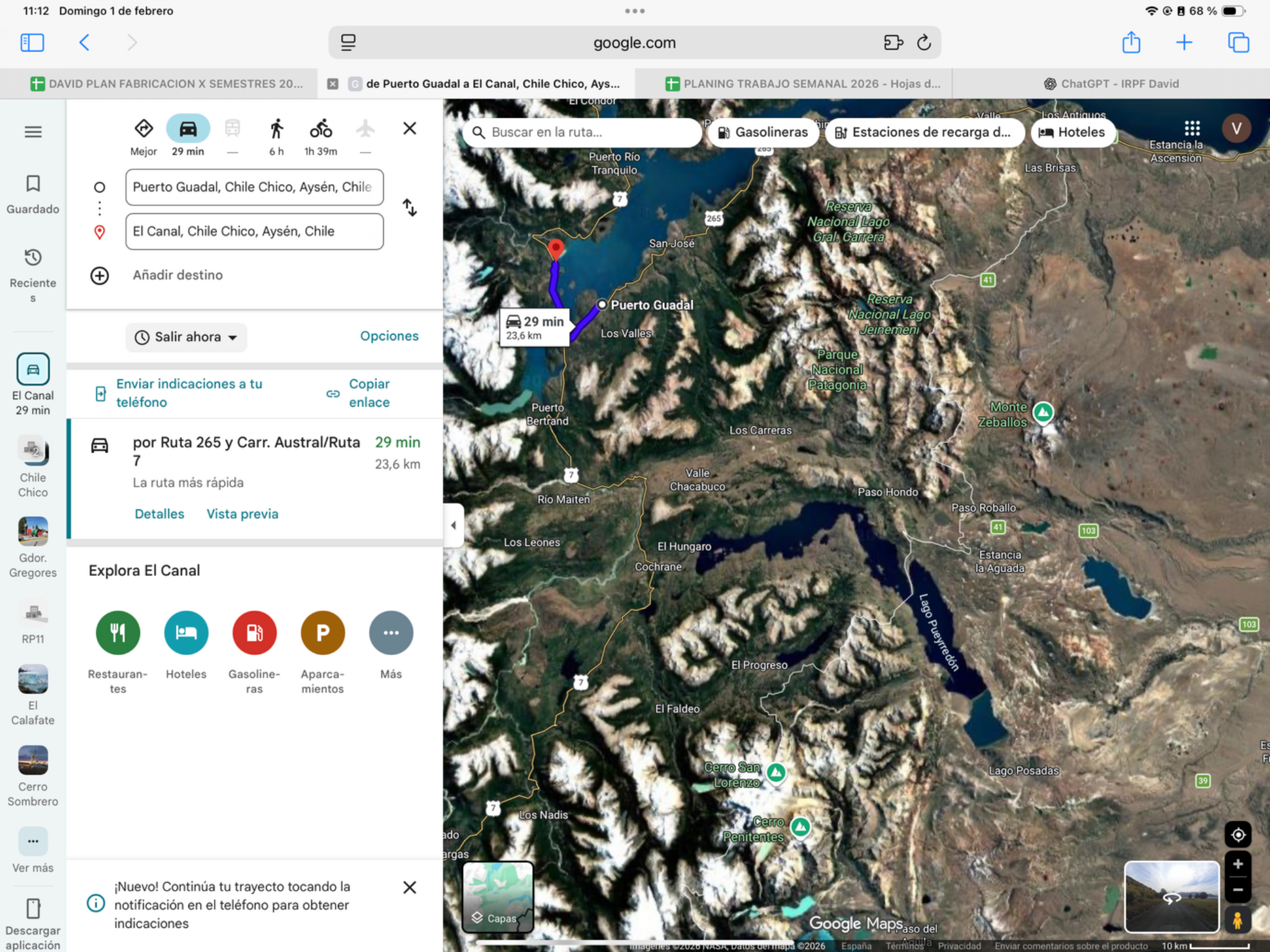
Today’s plan
Keep today for the planned glacier boat experience from your Puerto Guadal base. Lake and ice scenery are the attraction, but the operator and meeting point still need confirmation. Use the operator’s pickup time to set the morning; do not assume the boat leaves from your accommodation.
Confirm with the organiser: operator name, meeting point, pickup time, transfer length and return to Puerto Guadal. The saved El Canal pin alone does not establish the departure point.
Check local sunrise/sunset for this revised date; keep a daylight arrival margin.
Worth the stopGlacier boat excursion · confirm meeting point
A boat trip could bring you among ice, steep mountain walls and water-level views that the road cannot offer. However, the glacier, departure port and operator have not been identified for this day. Do not assume a tour from Puerto Guadal is available or included; those details must be settled before this becomes a usable booking plan.
Your Puerto Guadal base sits in the General Carrera lake landscape: turquoise water and mountain backdrops give even a quiet waterfront pause a sense of scale. The glacier excursion’s exact port and transfers still need identification.
Source ↗Excursion research lead · San Rafael: Last Frontiers suggests a full-day boat excursion through the Exploradores valley. Chile Travel describes access via Puerto Río Tranquilo, gravel X-728 to Puerto Grosse, then an authorized boat tour. This is a possible match to investigate, not your identified excursion or a departure from Puerto Guadal. Ask the organiser for the named glacier, port, Guadal pickup/return, transfer times, weather-cancellation terms and total cost before booking. Do not assume this boat trip includes walking on ice.
Last Frontiers · excursion idea Chile Travel · access and boat excursionWithin today’s planned activity time; any operator transfer and meeting point must be confirmed separately.
Chile Travel · regional context, not a confirmed tourWhen to do it · 8 December: NOT VERIFIED. Exact glacier, port, transfer duration and operator departure remain missing. This activity cannot yet be cleared against daylight or opening hours.
Glacier activity · operator confirmation needed
Revised date 2026-12-08. Keep the glacier activity, but confirm the exact glacier, operator, authorised access, meeting port/transport and the existing reservation’s change terms. Boat and walk days remain provisional. CONAF closed frontal public access to Exploradores; do not treat an old ice-walk listing as permission or substitute another excursion without agreement.
CONAF · Exploradores access closure
Dated logistics & daylight planning
Checked November 19, 2026. Local 24-hour times. Published baselines need reconfirmation for the travel date and holidays; suggested times are targets, not appointments.
December 8 is the planned glacier boat activity from the Chilean base, not a land-border day. Confirm the operator, meeting point and local holiday service separately; the previous day’s border schedule does not establish excursion availability.
18Glacier walkRest day
- Distance · approx.
- To confirm
- Riding time · estimate
- To confirm
- Country
- Chile
- Accumulated km · planned
- 0 km
The plan
Puerto Guadal base → glacier walk meeting point → Puerto Guadal
View route reference image
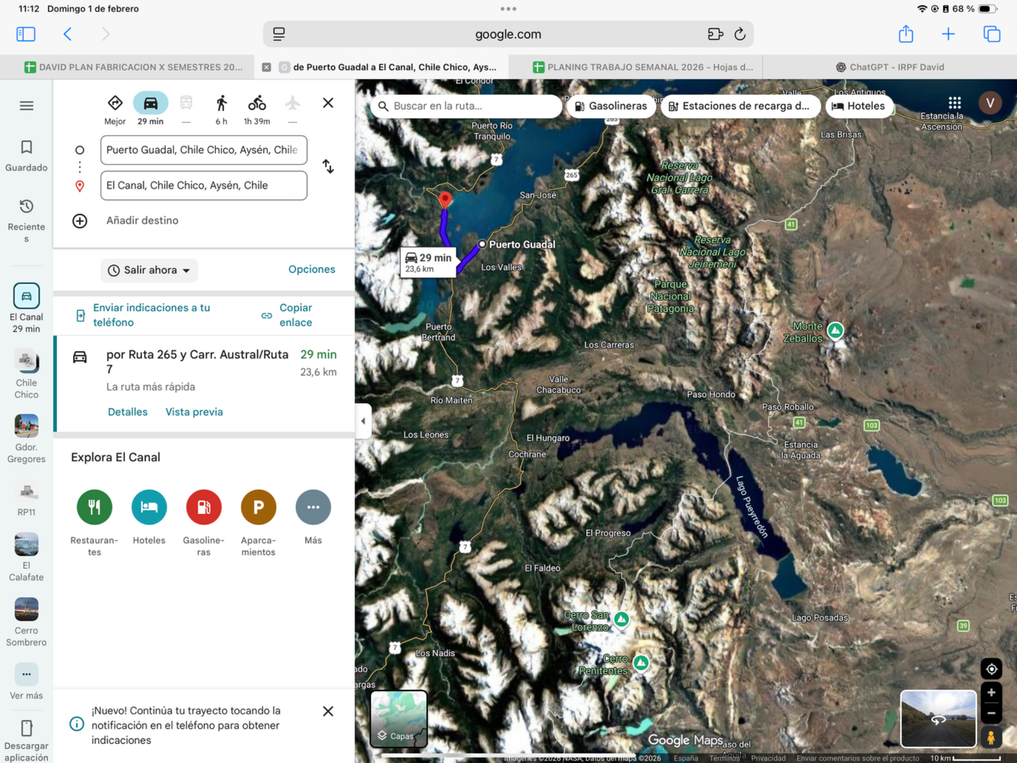
Today’s plan
Keep the planned glacier walk. Confirm with the organiser whether it is a separate outing from yesterday and obtain the meeting time, equipment list and transfers. These details determine the day; return rested for tomorrow’s long Carretera Austral ride.
Confirm whether this is a separate outing from Day 17, including guide, equipment and transfers.
Check local sunrise/sunset for this revised date; keep a daylight arrival margin.
Worth the stopGlacier walk · confirm access & guide
Walking on ice can reveal sculpted ridges and deep-blue formations at a completely different scale from a viewpoint. This itinerary still lacks the named glacier, guide and access transfer. Treat the activity as provisional; do not substitute a distant glacier that adds an unplanned travel day.
Why the blue ice? Thick glacier ice absorbs more of the red part of sunlight, leaving blue more visible. Look for changes between white fractured surfaces and deeper blue ice, if your confirmed walk includes them.
Source ↗Access check · Exploradores: CONAF’s notice of 2 December 2025 says the frontal glacier access will not reopen for that or subsequent seasons because of instability. Checked 9 November 2026. Do not book an Exploradores ice walk simply because an old itinerary or operator advertisement lists one. Your glacier walk remains provisional: identify the glacier, permitted access and guide, and verify authorization with the park before treating it as feasible. A viewpoint walk or San Rafael boat trip is a different activity; neither has been substituted into your plan.
CONAF · official frontal-access closureWithin today’s planned activity time; any operator transfer and meeting point must be confirmed separately.
Chile Travel · regional context, not a confirmed tourWhen to do it · 9 December: NOT VERIFIED. A guided glacier walk needs a named operator, access route, equipment and return time. No confirmed excursion is attached to this date.
Northbound ferry · confirm revised ticket
Caleta Gonzalo → Hornopirén moves to 2026-12-12. Obtain confirmation of the exact dated departure and space for three riders plus three motorcycles. A generic high-season timetable is not a dated reservation. Somarco requires paid tickets and arrival two hours before sailing; its published terms permit one date change up to 24 hours before departure. Leave existing tickets untouched until the operator confirms the change.
The official high-season graphic lists daily northbound subsidised departures at 12:30 and 20:00. These are timetable references, not confirmed December 12/13 seats. A 12:30 ticket means 10:30 terminal check-in; assess the full onward ride to Ensenada. A 20:00 sailing conflicts with the same-day daylight finish and needs an explicit overnight/route review, not an assumed night ride.
Glacier activity · operator confirmation needed
Revised date 2026-12-09. Keep the glacier activity, but confirm the exact glacier, operator, authorised access, meeting port/transport and the existing reservation’s change terms. Boat and walk days remain provisional. CONAF closed frontal public access to Exploradores; do not treat an old ice-walk listing as permission or substitute another excursion without agreement.
19Puerto Guadal → PuyuhuapiRiding dayLogistic task
- Mapped distance · approx.
- 493 km
- Map travel baseline
- 8 h 27 min
- Allow for the whole day
- 10–11h
- Country
- Chile
- Accumulated km · planned
- 0 km
The route
Puerto Guadal → Coyhaique → Puyuhuapi
View route reference image
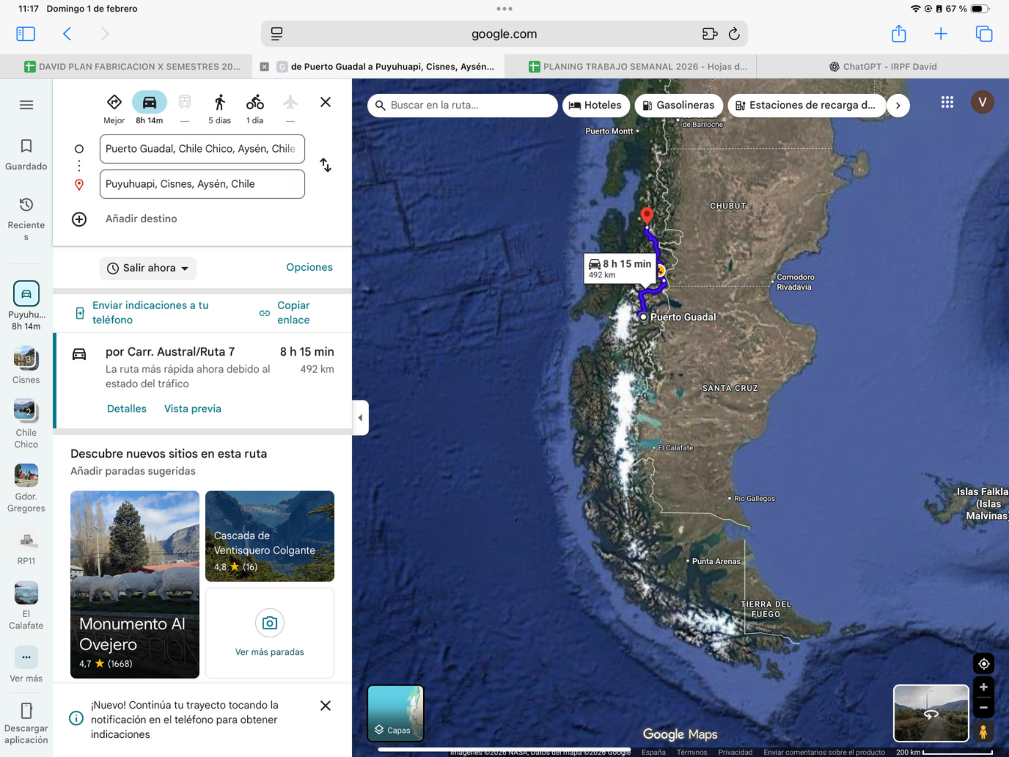
Today’s ride
One of the demanding scenic days: the Carretera Austral links lakes, mountain valleys and rainforest on the way through Coyhaique to Puyuhuapi. Leave early. Bends, mixed surfaces and roadworks can slow progress, so favour roadside views over a long hike today.
Check local sunrise/sunset for this revised date; keep a daylight arrival margin.
Riding notes
Mixed pavement / gravel · demanding
Refuel in the larger towns. A Queulat hike is a separate activity and is not included in the day’s riding allowance.
Worth the stopCarretera Austral: forest and fjord
The pleasure today is the progression from lake country into wet forest and mountain valleys. Let a short arrival walk in Puyuhuapi be the reward after the long ride. Queulat’s hanging glacier is a separate park visit and hike; it cannot honestly be sold as a quick included roadside stop today.
Puyuhuapi’s history brings together German settlers and Chilote families. After the ride, notice the village’s wooden buildings and fjord setting; those human details give the rainforest road a different character.
Source ↗Look for along the saved route: the General Carrera lake landscape around Puerto Río Tranquilo, the jagged Cerro Castillo skyline, then forest and fjord country near Queulat and Puyuhuapi. These are viewing opportunities from the route, not extra booked visits. Stop only at established pullouts when conditions and daylight allow. Keep waterproof layers accessible and protect luggage before the wetter northern section. This 493 km / 10–11 h day has no allowance for a marble-caves boat trip, a Cerro Castillo trek or a Queulat glacier hike.
Last Frontiers · landscape context, report dated 2014After parking: allow 20–40 min for the local walk or food stop. Access depends on your accommodation; this is not included in the road distance.
Chile Travel · Carretera AustralWhen to do it · 10 December: do not add a Queulat hike to this 10–11 h stage. The suggestion is a short arrival walk only.
Fuel challengePuerto Guadal → Coyhaique → Puyuhuapi · 493 km
Use Coyhaique as a planned refill: roughly 273 km from Guadal, then 220 km to Puyuhuapi. Other villages may have pumps, but verify hours and stock. Do not skip the town refill on this long day.
Check the next working fuel stop locally; no future opening hours or fuel stock are guaranteed.
Find fuel along this corridorUnpaved sectionsSouthern Ruta 7, Villa Ortega & Queulat
- Distance: allow for roughly 170 km of gravel or mixed surface between Guadal, Río Tranquilo and Cerro Castillo using regional guide proportions. This is an estimate, not a surveyed current total.
- More unpaved sections: the saved route north of Coyhaique uses Ruta 7 via Villa Ortega. Queulat also has unfinished paving, including an 18 km Fiordo Queulat–Puente Chucao project awarded in May 2026. A reliable whole-day gravel total is not available.
- Allow for loose stones, wet bends and traffic holds. Confirm works locally before this already long day; a paving contract does not mean the road is finished.
Ruta 7 · Carretera AustralJunction near Puerto Guadal → Coyhaique → Puyuhuapi
Carretera Austral is the name of Chile’s Ruta 7, distinct from Argentina’s Ruta 40. This day uses the segment named above; the badge identifies the road, not a surface or hazard rating. Your route joins near Puerto Guadal and follows it north over three riding days. Ferries and connecting roads must be counted separately from kilometres ridden on Ruta 7.
Official highway background20Puyuhuapi → ChaiténRiding day
- Mapped distance · approx.
- 187 km
- Map travel baseline
- 2 h 38 min
- Allow for the whole day
- 4–5h
- Country
- Chile
- Accumulated km · planned
- 0 km
The route
Puyuhuapi → Chaitén
View route reference image
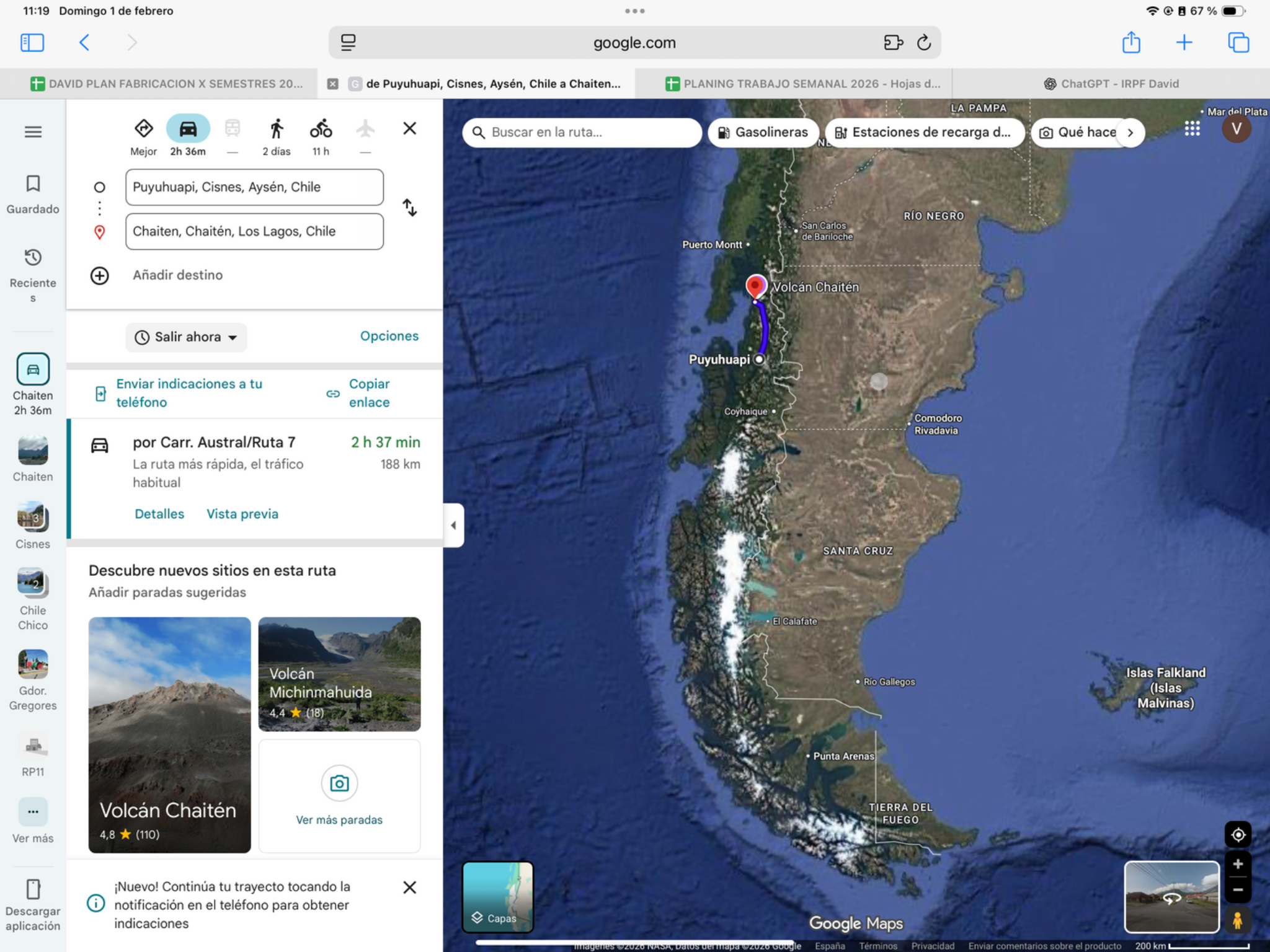
Today’s ride
Continue north through the forested Carretera Austral corridor toward Chaitén. The attraction is the ride itself: mountain curves, dense vegetation and brief roadside views. Arrive with time to prepare tomorrow’s ferry departure; any longer walk must fit around that priority.
Check local sunrise/sunset for this revised date; keep a daylight arrival margin.
Riding notes
Mixed sections · moderate
Confirm tomorrow’s ticket and terminal tonight. Work backward from two-hour check-in plus the drive to Caleta Gonzalo and a delay buffer. Check road conditions after heavy rain.
Worth the stopChaitén’s waterfront promenade
The renewed waterfront gives you sea air, open views and an easy walk after the forest-lined road. It is a good place to slow down and photograph the coastal setting without committing to a volcano hike. Keep the evening simple so tomorrow’s ferry preparation is unhurried.
Chaitén’s volcano began its first historically recorded eruption in 2008. The volcanic setting adds meaning to the town’s renewed waterfront; the volcano hike remains a separate activity, not tonight’s arrival walk.
Source ↗After parking: allow 20–40 min for the local walk or food stop. Access depends on your accommodation; this is not included in the road distance.
Chaitén tourism · waterfront walkWhen to do it · Outdoor stop: use daylight and actual arrival time. No ticketed activity or indoor opening is assumed.
Unpaved sectionsVilla Santa Lucía → Chaitén · short gravel patches
- Where: the final 75 km corridor from Villa Santa Lucía toward Chaitén. The regional road guide reports three short gravel interruptions within an otherwise paved leg.
- Unpaved distance: not published or verified; 75 km is the corridor length, not the amount of gravel. This is a patch warning, not a full dirt-road day.
- Slow for surface transitions and ask about current repairs in La Junta or Villa Santa Lucía.
Ruta 7 · Carretera AustralPuyuhuapi → La Junta → Chaitén
Carretera Austral is the name of Chile’s Ruta 7, distinct from Argentina’s Ruta 40. This day uses the segment named above; the badge identifies the road, not a surface or hazard rating. Your route joins near Puerto Guadal and follows it north over three riding days. Ferries and connecting roads must be counted separately from kilometres ridden on Ruta 7.
Official highway background21Chaitén → EnsenadaRiding day
- Mapped distance · approx.
- 305.6 km
- Map travel baseline
- 7 h 55 min
- Allow for the whole day
- 11–13+ h · sailing-dependent
- Country
- Chile
- Accumulated km · planned
- 0 km
The route
Chaitén → Caleta Gonzalo → Fiordo Largo → Leptepu → Hornopirén → Ensenada · Ruta 7 / V-69 via Cochamó
View route reference image
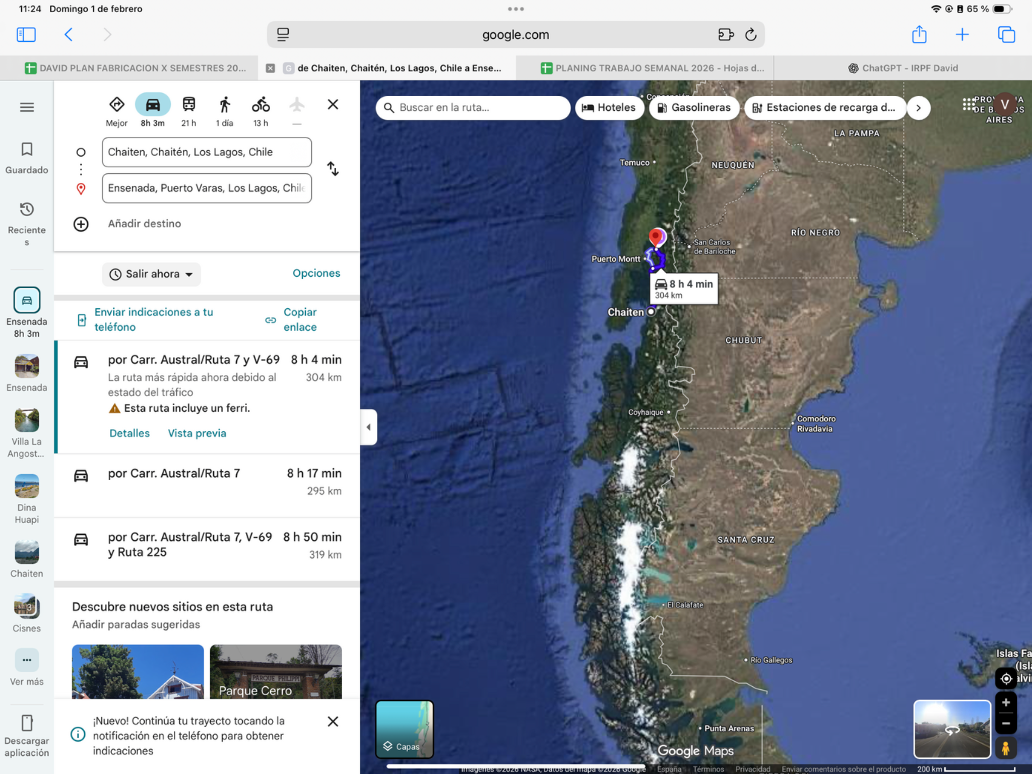
Today’s ride
A departure-time day, not a sleep-in day. Forested access roads, fjord crossings and the onward V-69 through Cochamó make this a varied but lengthy journey. Base your start on the ticket and terminal arrival requirement; keep stops short to reach Ensenada in daylight.
Riding notes
Mixed sections · ferry logistics
Follow Ruta 7 / V-69 through Cochamó; the planned road does not include the La Arena–Puelche ferry. Keep Argentina papers ready for tomorrow.
Worth the stopFjords from the northbound ferry
Today’s ferry is an experience in its own right: forested shores and steep fjord walls unfold while the motorcycle rests below. Use the crossings for scenery and photographs rather than adding a trail between sailings. Cloud and rain can hide the peaks but give the forest its atmospheric layers.
The bimodal route combines two ferry crossings with the short connecting road between Fiordo Largo and Leptepu. Watch the change from open water to enclosed fjord walls; that scenery is built into today’s transport.
Source ↗Rainforest and fjords are part of today’s transport: enjoy the Pumalín-side forest on the approach to Caleta Gonzalo and the fjord scenery during the booked crossings. Have rain layers and a warm layer accessible rather than buried in luggage. Follow crew instructions and keep the Fiordo Largo–Leptepu road connection for the transfer, not sightseeing. Last Frontiers’ linked report is from 2014: use it for landscape context only, never its old ferry times or road-surface descriptions. Your northbound Somarco booking and current notices remain the operating reference.
Last Frontiers · historical scenery report, 2014 Somarco · current operator informationEnjoy during the scheduled crossing: no extra road detour or sightseeing time added.
Somarco · route and fjordsWhen to do it · 12 December: current high-season graphic lists northbound 12:30 and 20:00. Seek the 12:30 sailing and confirm the dated ticket; the 20:00 departure cannot support a daylight arrival in Ensenada. Allow the required two-hour check-in.
Ferry crossingCaleta Gonzalo → Hornopirén
Buy ahead for the group: secure paid tickets for all three motorcycles and all three riders on the same 12 December northbound sailing, Caleta Gonzalo → Hornopirén. Do this as soon as your date is firm and the dated sailing is on sale, rather than waiting until Chaitén. Somarco does not hold unpaid reservations; there is no published fixed number of days in advance that guarantees space. Check direction, date, rider/vehicle details and change terms. Be at Caleta Gonzalo with tickets two hours before departure.
- Route: Caleta Gonzalo → Fiordo Largo; ride to Leptepu; ferry to Hornopirén.
- Transit: roughly 4½–5 hours for both ferries and the connecting road, before loading/connection delays. Somarco’s route page and FAQ differ by 15 minutes on the long crossing. Arrive 2 hours before the booked sailing.
- Published fare reference: subsidized non-resident motorcycle + rider CLP 18,200; extra passenger CLP 12,100. Commercial: motorcycle CLP 29,400 + rider CLP 15,750 = CLP 45,150. Confirm your sailing’s fare.
- Buy online: choose Caleta Gonzalo → Hornopirén, 12 December, motorcycle and all travelers. Payment secures the ticket; no unpaid holds.
- In person: Somarco, Juan Todesco 188, Chaitén; +56 65 2731760 / 2731762. Confirm office hours and the sailing before arrival.
Unpaved sectionsChaitén → Caleta Gonzalo · about 56 km
- Main section: about 56 km from Chaitén to Caleta Gonzalo, listed as gravel in the regional guide. Allow time for the surface before ferry check-in.
- Ferry connector: about 10 km of road between Fiordo Largo and Leptepu. Check its current surface with the operator; do not count the ferry distance as gravel kilometres.
- After Hornopirén, follow the saved Ruta 7 / V-69 route via Cochamó. The precise total of unpaved kilometres on that onward leg is not verified.
Daylight riskFerry arrival may leave too little daylight
Daylight risk: the shifted date invalidates the former solar-time calculation. Recheck local sunset, actual departure, border/ferry delays and a realistic stopping point. Do not plan a night finish to protect a reservation.
Ruta 7 · Carretera AustralChaitén → Caleta Gonzalo; ferry connector; Hornopirén → Puelche
Carretera Austral is the name of Chile’s Ruta 7, distinct from Argentina’s Ruta 40. This day uses the segment named above; the badge identifies the road, not a surface or hazard rating. Your route joins near Puerto Guadal and follows it north over three riding days. Ferries and connecting roads must be counted separately from kilometres ridden on Ruta 7. After Puelche, your saved route leaves Ruta 7 for V-69 via Cochamó to Ensenada; it does not continue to Puerto Montt or use La Arena–Puelche ferry.
Official highway background22Ensenada → San Martín de los AndesRiding day
- Mapped distance · approx.
- 300.5 km
- Map travel baseline
- 4 h 44 min
- Allow for the whole day
- 7–9h
- Countries
- Chile → Argentina
- Accumulated km · planned
- 0 km
The route
Ensenada → Paso Cardenal Samoré → Villa La Angostura → San Martín de los Andes
View route reference image
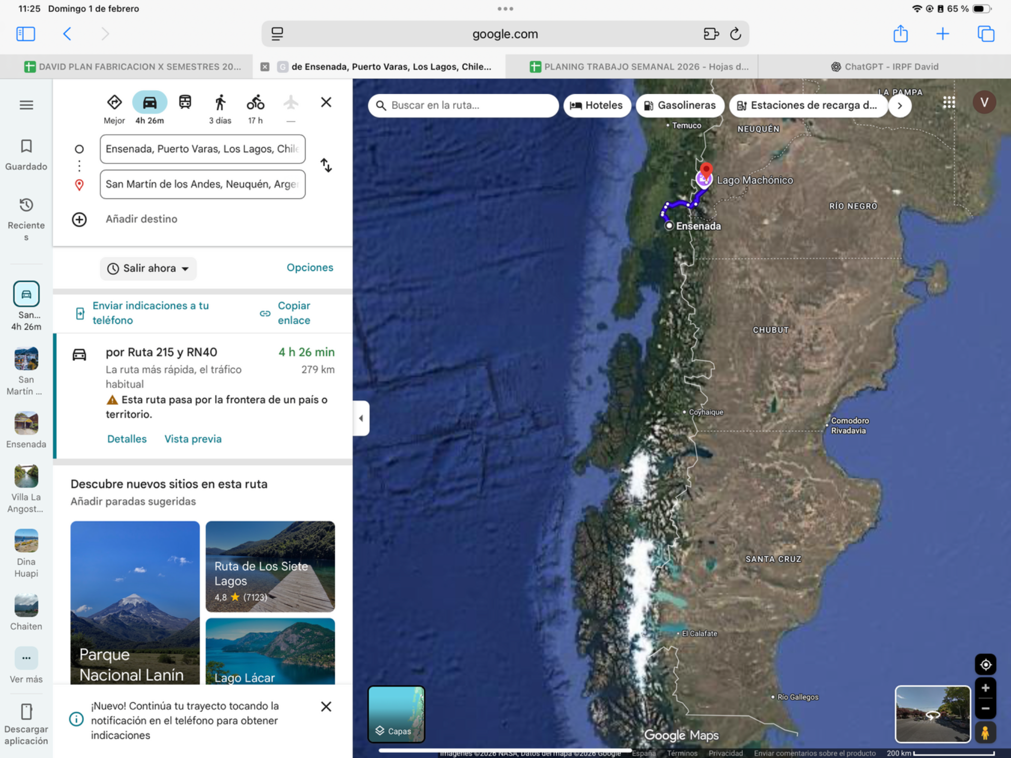
Today’s ride
An early start gives the best chance of enjoying the Seven Lakes road after Cardenal Samoré. Forested mountain riding leads through Villa La Angostura toward San Martín de los Andes. Choose a few lake viewpoints rather than chasing every stop after the crossing.
Check local sunrise/sunset for this revised date; keep a daylight arrival margin.
Riding notes
Paved · mountain curves
Finish in San Martín de los Andes town; do not stop navigation at a lakeside waypoint near Machónico.
Worth the stopSeven Lakes viewpoints
Forest-framed water, mountain reflections and flowing bends make this one of the trip’s signature road sections. Choose a few signed viewpoints around Espejo, Falkner/Villarino or Machónico; the pleasure is along the existing road.
The named seven are Correntoso, Espejo, Escondido, Villarino, Falkner, Machónico and Lácar. This RN40 scenic corridor connects Nahuel Huapi and Lanín national parks; choose a few viewpoints rather than trying to stop at every lake.
Source ↗On-route pullouts: 0–10 min access combined. Stops: 45–75 min. Total extra: 45–85 min; reduce after a slow border crossing.
Visitor information ↗When to do it · 13 December: outdoor viewpoints only, after the morning border crossing. Choose two or three stops and cap the combined visit at about one hour.
Border crossingChile → Argentina · Cardenal Samoré
- Where to go: Follow CH-215 to Cardenal Samoré, then RN231 toward Villa La Angostura.
- What to do: Complete Chile migration and vehicle exit, then Argentina migration and temporary admission. Keep the new admission record for the Bolivia exit.
- Documents: Passport or accepted travel ID, any entry permission required for your nationality, driving licence, original registration/ownership documents and authorization if the bike is not yours. Keep copies offline.
- For this crossing: Chile admission record and issued Argentina liability cover valid for the next Argentine stages.
- Timing: Use the dated operating baselines and daylight targets below; reconfirm both sides before travel.
Dated hours & daylight planning
Checked November 19, 2026. Local 24-hour times. Published baselines need reconfirmation for the travel date and holidays; suggested times are targets, not appointments.
Cardenal Samoré, Chile → Argentina, is not 24/7. Argentina’s dedicated page lists 08:00–19:00; Chile’s bulletin (updated April 7, 2026) gives 08:00–18:00. Recheck both sides rather than assuming the later cutoff or an extended summer schedule. Sunday is not a confirmed closure. Target a morning crossing before any Seven Lakes stops.
Ruta 40 · ArgentinaVilla La Angostura → San Martín de los Andes / Seven Lakes
This day uses part of Argentina’s RN40 in the segment named above. Ruta 40 is the long north–south highway along the Argentine side of the Andes; this badge does not mean every kilometre today is on RN40. Keep the saved route and border choices: local approaches and other connecting roads remain part of the day.
Official highway background23San Martín de los Andes → Chos MalalRiding day
- Mapped distance · approx.
- 458 km
- Map travel baseline
- 5 h 14 min
- Allow for the whole day
- 7–8h
- Country
- Argentina
- Accumulated km · planned
- 0 km
The route
San Martín de los Andes → Chos Malal
View route reference image
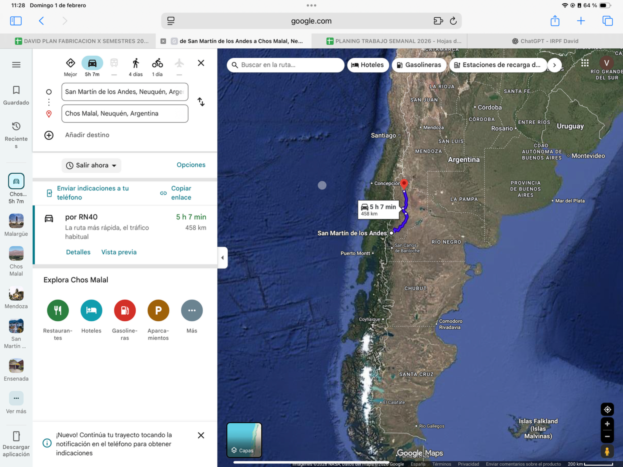
Today’s ride
The route leaves the lake district for northern Neuquén’s more open terrain. Expect the balance to shift from forest scenery to wider valleys and longer riding stretches. Start in the morning and use Chos Malal as a practical overnight before tomorrow’s very long stage.
Check local sunrise/sunset for this revised date; keep a daylight arrival margin.
Riding notes
Mostly paved · moderate / long
Refuel at the main towns; scenic side roads add time beyond the saved route.
Worth the stopThe Ruta 40 midpoint monument
Chos Malal’s monument marks the midpoint of Argentina’s legendary north–south road. It is a fitting motorcycle-trip photograph: by now Ruta 40 is a road you have experienced, not just a famous number. Make it a brief stop on arrival, rather than adding a scenic loop into the surrounding mountains.
The midpoint monument is a curved, 25 m mast by sculptor Alejandro Santana. Its design responds to the region’s wind, making it an especially fitting landmark for a Patagonia motorcycle photograph.
Source ↗Keep it brief: roadside scenery or a short arrival walk. Budget 15–30 minutes if you stop; no separate excursion is included. Use safe on-route pullouts, or check local access from your accommodation.
Neuquén province · Ruta 40 monumentWhen to do it · Outdoor stop: use daylight and actual arrival time. No ticketed activity or indoor opening is assumed.
Ruta 40 · ArgentinaSan Martín de los Andes → Chos Malal corridor
This day uses part of Argentina’s RN40 in the segment named above. Ruta 40 is the long north–south highway along the Argentine side of the Andes; this badge does not mean every kilometre today is on RN40. Keep the saved route and border choices: local approaches and other connecting roads remain part of the day.
Official highway background24Chos Malal → MendozaRiding dayLogistic task
- Mapped distance · approx.
- 658 km
- Map travel baseline
- 8 h 12 min
- Allow for the whole day
- 10–11h
- Country
- Argentina
- Accumulated km · planned
- 0 km
The route
Chos Malal → Malargüe → Mendoza
View route reference image
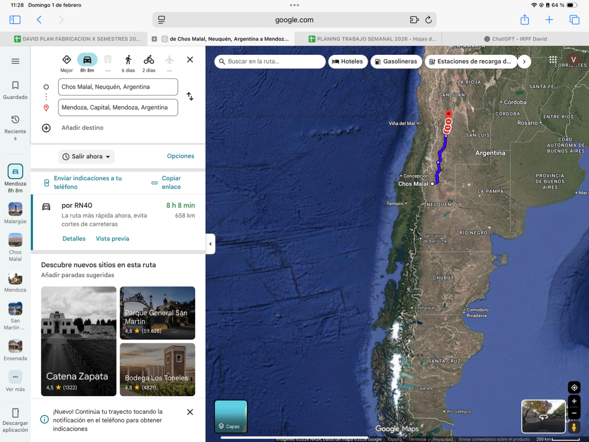
Today’s ride
A major distance day on the RN40 corridor toward Mendoza, through the Malargüe region. Leave early and keep sightseeing minimal: long open stretches and changing road conditions require sustained attention. Use the whole-day allowance, not the map’s driving time, to judge progress.
Check local sunrise/sunset for this revised date; keep a daylight arrival margin.
Riding notes
Mixed sections possible · demanding
Confirm RN40 surface and works, and reject unverified remote shortcuts.
Worth the stopMendoza’s Plaza Independencia
After a long day, Mendoza’s central square offers an easy change of pace: trees, fountains and the city’s cultural heart. Take a short walk before dinner rather than squeezing in a winery excursion. The appeal is enjoying the city on foot once the riding is finished.
Mendoza’s new centre was planned after the 1861 earthquake. Plaza Independencia is the central, four-hectare square in a five-plaza layout; the greenery and fountains reflect the city’s identity as an irrigated oasis.
Source ↗After parking: allow 20–40 min for the local walk or food stop. Access depends on your accommodation; this is not included in the road distance.
Mendoza city · Plaza IndependenciaWhen to do it · Outdoor stop: use daylight and actual arrival time. No ticketed activity or indoor opening is assumed.
Fuel challengeChos Malal → Malargüe → Mendoza · 658 km
About 334 km to Malargüe, then 324 km to Mendoza. Confirm intermediate supply around Barrancas/Bardas Blancas and fill in Malargüe; these are corridor lengths, not verified continuous pump gaps.
Check the next working fuel stop locally; no future opening hours or fuel stock are guaranteed.
Find fuel along this corridorRuta 40 · ArgentinaChos Malal → Malargüe; sections towards Mendoza
This day uses part of Argentina’s RN40 in the segment named above. Ruta 40 is the long north–south highway along the Argentine side of the Andes; this badge does not mean every kilometre today is on RN40. Keep the saved route and border choices: local approaches and other connecting roads remain part of the day.
Official highway background25Mendoza → Villa UniónRiding day
- Mapped distance · approx.
- 469 km
- Map travel baseline
- 5 h 45 min
- Allow for the whole day
- 7–8h
- Country
- Argentina
- Accumulated km · planned
- 0 km
The route
Mendoza → Villa Unión
View route reference image
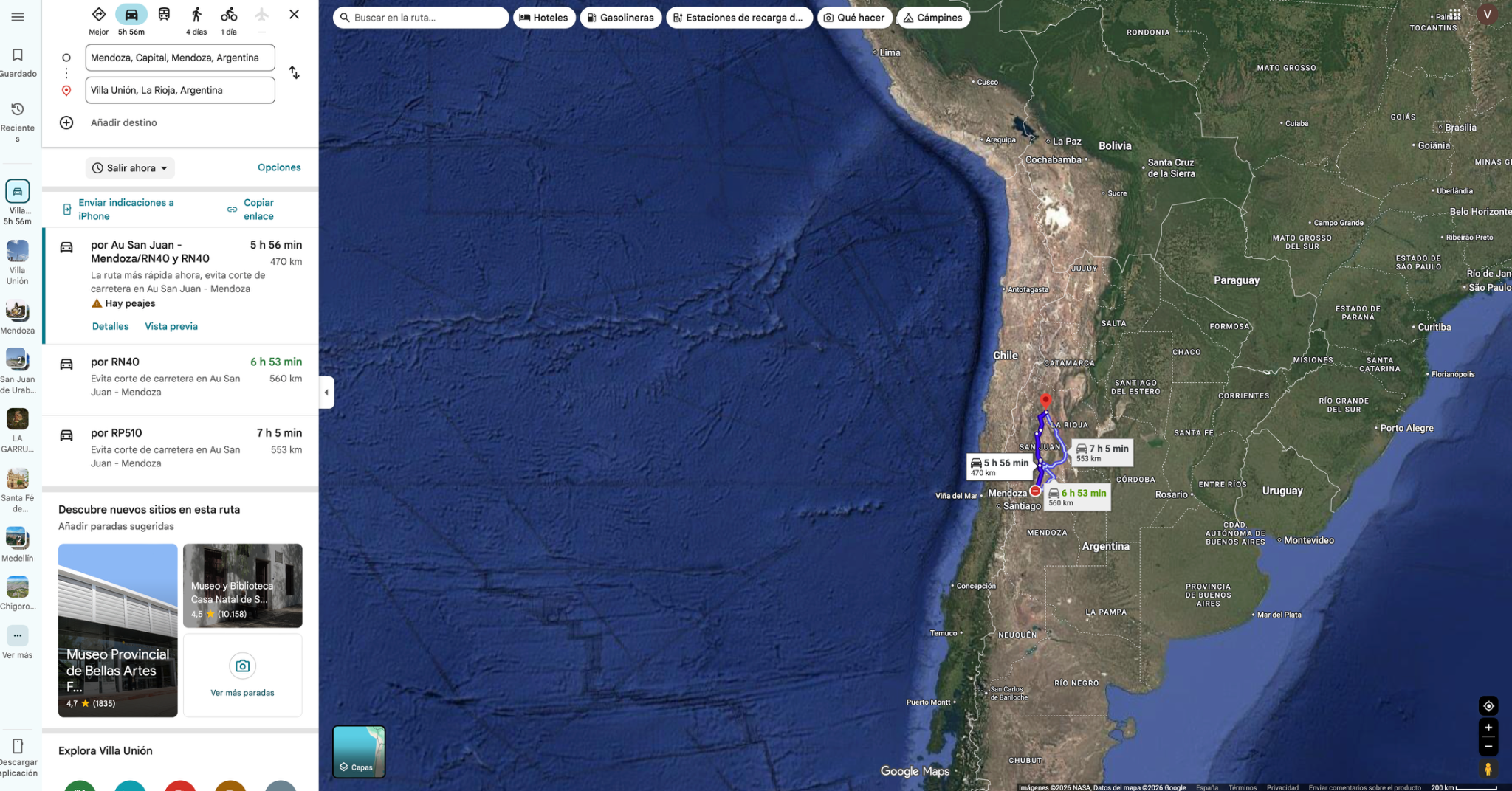
Today’s ride
Head north from Mendoza into dry foothill country toward Villa Unión. Much of today is about open landscapes and steady mileage rather than constant tight curves. A morning departure leaves flexibility for a brief scenic pause and setting up camp before dark if you choose it.
Check local sunrise/sunset for this revised date; keep a daylight arrival margin.
Riding notes
Mostly paved · long
Follow the daily route between the planned towns; extra sightseeing loops are outside the distance shown.
Worth the stopVilla Unión’s town-and-valley setting
Villa Unión is more than a transit stop: its compact centre sits in the broad Bermejo valley beneath dry mountain country. A walk around Plaza 25 de Mayo gives the overnight town some character before dinner. Talampaya is a separate excursion, not a quick addition to today’s mileage.
Villa Unión is a gateway to Talampaya’s World Heritage landscape. That is useful context for the surrounding dry country, but a Talampaya tour needs its own time and booking; tonight’s suggestion stays in town.
Source ↗After parking: allow 20–40 min for the local walk or food stop. Access depends on your accommodation; this is not included in the road distance.
Villa Unión tourism · town and valley guideWhen to do it · Outdoor stop: use daylight and actual arrival time. No ticketed activity or indoor opening is assumed.
CampingEl Establo · Villa Unión
- Why camp here: grass pitches, shade and an outdoor barbecue evening after the dry valley roads. Campers praise the peaceful setting; a small pool has operated in summer, but confirm it is filled.
- Facilities: recent reports describe hot showers, clean bathrooms, electricity, Wi-Fi and a shared cooking area. Bring drinking water: the 5 October 2026 report found sediment in tap water.
- Access / timing: about 800 m off the main road according to the listing. Motorcycles and tents are reported; the final surface is not verified. Arrive in daylight and check the gate and ground before riding in. Night of 16 December; confirm space and current price.
- Evidence: iOverlander visits through 5 October 2026. A comfortable camping option rather than a remote wilderness viewpoint.
Ruta 40 · ArgentinaMendoza → San Juan / Jáchal corridor
This day uses part of Argentina’s RN40 in the segment named above. Ruta 40 is the long north–south highway along the Argentine side of the Andes; this badge does not mean every kilometre today is on RN40. Keep the saved route and border choices: local approaches and other connecting roads remain part of the day.
Official highway background26Villa Unión → CafayateRiding dayLogistic task
- Mapped distance · approx.
- 576 km
- Map travel baseline
- 7 h 47 min
- Allow for the whole day
- 9–10h
- Country
- Argentina
- Accumulated km · planned
- 0 km
The route
Villa Unión → Chilecito → Cafayate
View route reference image
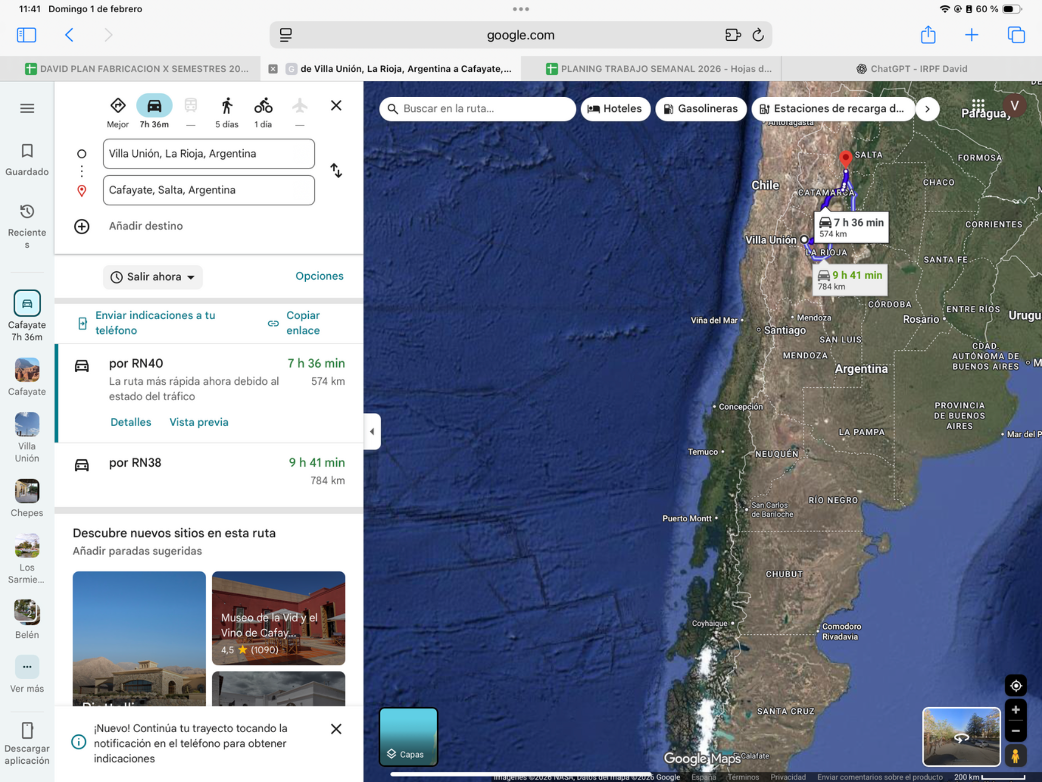
Today’s ride
Cuesta de Miranda is today’s named highlight: a winding red-rock section on the way toward Chilecito. The complete ride to Cafayate remains long, so leave early and enjoy a couple of safe viewpoints rather than a separate excursion. Expect dry valleys and changing elevations.
Check local sunrise/sunset for this revised date; keep a daylight arrival margin.
Riding notes
Mostly paved · demanding
Use the main towns for fuel; leave room for photography without sacrificing daylight arrival.
Worth the stopCuesta de Miranda viewpoints
The RN40 threads a striking red-rock landscape here, with tight curves and changing views toward Chilecito. A couple of signed viewpoints capture the experience without turning a long stage into a separate sightseeing day.
The changing scene is part of the reward: rocky quebradas and RN40 bends give way toward cultivated country around Sañogasta and Chilecito. Use a viewpoint to see that contrast, rather than only photographing the next curve.
Source ↗On-route access: 0–5 min. Viewpoints: 20–40 min. Total extra: 20–45 min; stop only where parking is safe.
Visitor information ↗When to do it · 17 December: daytime viewpoints only; no attraction opening time is assumed. Keep the stop within the listed 20–45 min allowance.
CampingLuz y Fuerza · Cafayate
- Why camp here: shaded pitches with tables and grills, close enough to walk into Cafayate for dinner. Choose it for an easy outdoor evening in wine country; the setting is a serviced town campground.
- Facilities / trade-off: hot showers, toilets, water and power are reported. Reviews from August–September 2026 also mention dust, road noise and occasional loud groups. Ask for a quiet pitch; a hotel may offer better sleep before tomorrow’s ride.
- Access / timing: on RN40, with dirt pitches inside; inspect if wet. Night of 17 December. Confirm own-tent space, price and early departure. Do not substitute El Algarrobal without checking: an August 2026 report says January–February only.
Ruta 40 · ArgentinaVilla Unión → Chilecito → Cafayate corridor
This day uses part of Argentina’s RN40 in the segment named above. Ruta 40 is the long north–south highway along the Argentine side of the Andes; this badge does not mean every kilometre today is on RN40. Keep the saved route and border choices: local approaches and other connecting roads remain part of the day.
Official highway background27Cafayate → San Salvador de JujuyRiding day
- Mapped distance · approx.
- 288 km
- Map travel baseline
- 5 h 13 min
- Allow for the whole day
- 7–8h
- Country
- Argentina
- Accumulated km · planned
- 0 km
The route
Cafayate → La Caldera → San Salvador de Jujuy
Alternative route
Main roads via General Güemes
Choose the main-road approach to avoid the narrow, twisting RN9 Cornisa and make easier progress. It adds about 21 km but may save 5–20 minutes. Keep the main itinerary route if you want the Cornisa curves.
309 km · about 5 h 10 min driving. RN68 → General Güemes → RN34/RN66 → San Salvador de Jujuy.
Driving estimates checked 11 Oct 2026; stops and border queues are extra. Check live conditions. Dashboard and master line remain Plan A.View route reference image
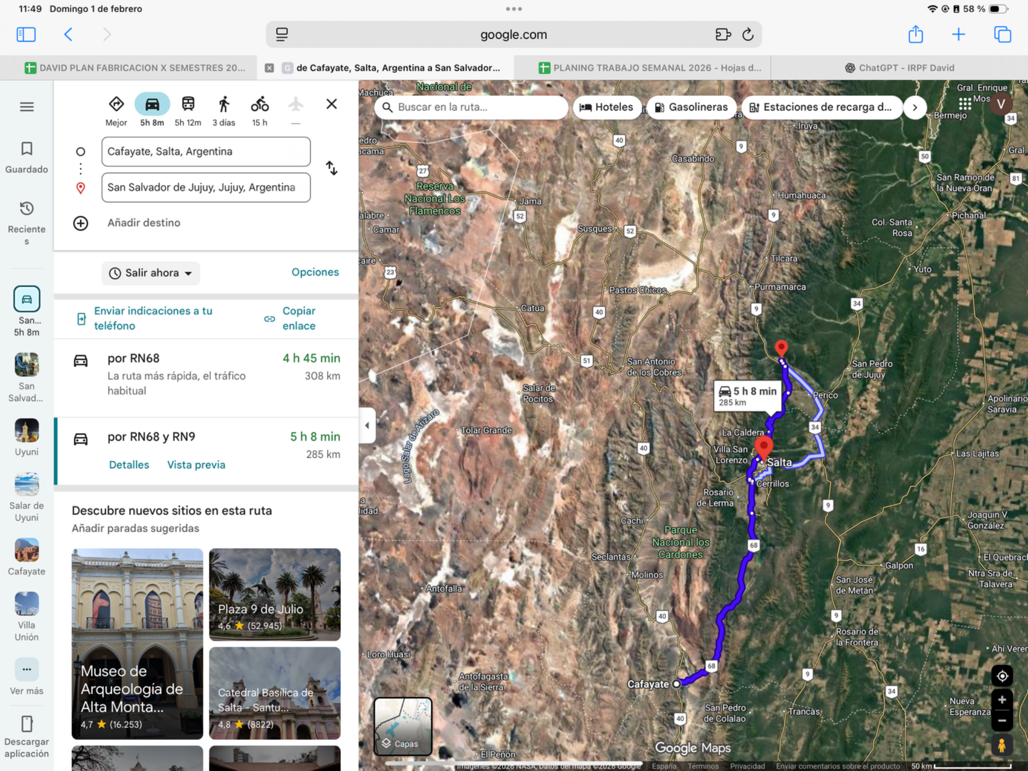
Today’s ride
RN68 through Quebrada de las Conchas is the star today, with sculpted red rock and worthwhile short walks before Salta. Start early enough to enjoy it without rushing the onward ride through La Caldera to Jujuy. Finish with time to pack for tomorrow’s long border day.
Check local sunrise/sunset for this revised date; keep a daylight arrival margin.
Riding notes
Paved corridor · curves
Stay on the RN68/Salta corridor. Cachi and Abra del Acay are a different, more demanding route.
Worth the stopQuebrada de las Conchas
El Anfiteatro’s natural rock chamber and the carved walls of Garganta del Diablo are the standout short walks among the red formations. They add a sense of scale you miss from the saddle. Choose one if the morning is slipping away.
El Anfiteatro’s curved walls act as a natural acoustic chamber. Stand inside quietly and listen: this formation is worth stepping off the bike for, not merely taking a photo from the road.
Source ↗RN68 roadside access: 0–10 min combined. Walks/photos: 60–90 min. Total extra: 60–100 min for both.
Visitor information ↗When to do it · 18 December: visit the RN68 formations in the morning. Allow 35–60 min for selected short stops; the long border day tomorrow makes a late arrival undesirable.
CampingEl Refugio · Yala · inspect first
- Why consider it: a leafy riverside setting north of Jujuy, with shaded camping and barbecue shelters. It is an optional change of overnight base to Yala, not an extra sightseeing detour.
- Inspect before paying: reports disagree about the bathrooms. July 2026 praised the hot showers; 14 September 2026 reported badly deteriorated toilets and showers. Check the facilities yourself and use a hotel if they disappoint. Summer pool operation is unconfirmed for your date.
- Access / timing: close to RN9 at Yala; use the mapped entrance across the bridge, not the mountain road to the lagoons. Confirm firm access and motorcycle parking. Night of 18 December: camp only if an early Monday departure is possible. Allow roughly 20–30 minutes from Jujuy, plus setup.
28San Salvador de Jujuy → UyuniRiding day
- Mapped distance · approx.
- 570.5 km
- Map travel baseline
- 8 h 33 min
- Allow for the whole day
- 11–13h
- Countries
- Argentina → Bolivia
- Accumulated km · planned
- 0 km
The route
San Salvador de Jujuy → La Quiaca → Villazón → Tupiza → Uyuni
View route reference image
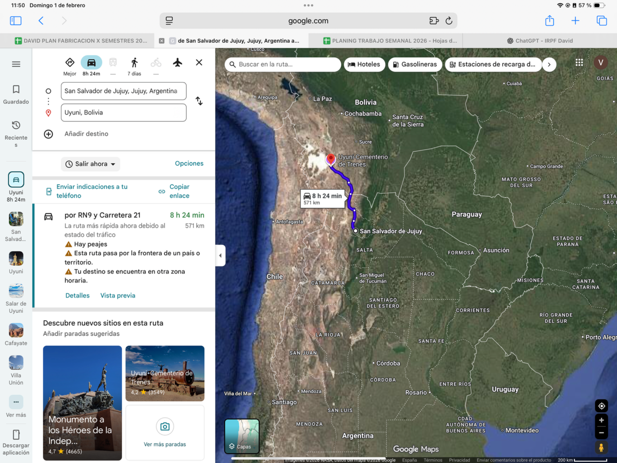
Today’s ride
Start early for Quebrada de Humahuaca and the high plateau toward La Quiaca, then Villazón, Tupiza and Uyuni. This long high-altitude border day needs its time for riding, breaks and paperwork. Skip sightseeing detours; use Tupiza Plan B if delays build.
Riding notes
High-altitude roads · demanding
Verify the through-road condition and fuel plan before departure; border delays could put the Uyuni arrival beyond daylight.
Border crossingArgentina → Bolivia · La Quiaca–Villazón
- Where to go: Use the international vehicle crossing between La Quiaca and Villazón. Confirm where motorcycle customs processing takes place before joining a pedestrian queue.
- What to do: Complete Argentina exit and Bolivia entry for rider and bike. Present the SIVETUR declaration to Bolivia customs and retain the authorized vehicle admission.
- For this crossing: SIVETUR and supporting ownership/authorization papers; retain evidence of the applicable short-stay insurance exemption or required cover. Check the admitted date and expiry.
- Timing: Use the dated operating baselines and daylight targets below; reconfirm both sides before travel.
Document checklist · La Quiaca–Villazón
- Passport — original, with at least 6 months validity. US, Spanish and Mexican tourist passport holders are currently visa-exempt; immigration still records entry and the permitted stay. Other nationalities: check the official visa group before departure.
- Driving licence — original, valid for the motorcycle; carry your international driving permit alongside it if applicable.
- Motorcycle registration/ownership document — original, matching the plate and VIN.
- If you are not the owner — original owner authorization. Resolve the required Bolivian consular authorization before travelling; do not assume a general power of attorney or an apostille alone is sufficient. The published Argentine-vehicle exception is not a blanket exemption for foreign plates.
- Argentina vehicle admission — take the current temporary-import document to Argentine customs and retain proof that the bike’s exit was recorded.
- SIVETUR — complete the tourist-vehicle declaration and carry the printout/reference. Before leaving Bolivian customs, collect the validated permit and check rider, plate/VIN and expiry.
- Insurance — carry the certificate for any required cover and evidence supporting any applicable short-stay exemption; a payment receipt alone is not proof of active cover.
Copies to pack · practical recommendation
- Pack 2 spare photocopy sets per rider/bike: passport identity page, driving licence, registration, owner authorization and its legalization/apostille pages, plus applicable insurance. Carry the originals separately. Two sets is a suggested buffer, not a verified mandatory copy count at this crossing.
- Save offline scans. Copy or photograph new entry/exit records and the validated SIVETUR permit after issuance; these cannot all be printed before departure.
- Passport photos and a printed bank statement are not listed here as mandatory visa-application documents for visa-exempt US, Spanish or Mexican tourists. Keep accommodation/onward plans and accessible evidence of funds available if immigration asks; admission remains subject to border checks.
Dated hours & daylight planning
Checked November 19, 2026. Local 24-hour times. Published baselines need reconfirmation for the travel date and holidays; suggested times are targets, not appointments.
La Quiaca–Villazón, Argentina → Bolivia. Bolivia’s integrated customs control lists Saturdays, Sundays and holidays 06:00–23:00 Bolivia time, equivalent to 07:00–00:00 Argentina time (midnight at the end of that day). These are the same hours across a one-hour time change; general offices and other customs facilities have separate schedules. Do not label the full vehicle crossing 24/7 from immigration hours alone.
Target crossing before lunch; reconfirm motorcycle processing for this Saturday. If queues or formalities would push the ride to Uyuni after dark, use the existing Tupiza overnight option and reassess the next stage. This is a contingency, not a new booking or automatic date change.
Daylight riskLong border day · keep Tupiza as the fallback
Daylight risk: the shifted date invalidates the former solar-time calculation. Recheck local sunset, actual departure, border/ferry delays and a realistic stopping point. Do not plan a night finish to protect a reservation.
- Mapped distance · approx.
- 376 km
- Map travel baseline
- 5 h 24 min
- Allow for the whole day
- 8–10 h
- Countries
- Argentina → Bolivia
- Accumulated km · planned
- 0 km
The route
San Salvador de Jujuy → Tupiza
Route for day 28 · Plan B ↗Google driving estimate checked 11 October 2026; stops, queues and future conditions can change the total.
Today’s ride · Plan B
Check local opening hours for this revised date. No admission, holiday service or motorcycle customs appointment is confirmed; resolve paperwork and active insurance beforehand.
Check local sunrise/sunset for this revised date; keep a daylight arrival margin.
Border crossingArgentina → Bolivia · La Quiaca–Villazón
- Where to go: Use the international vehicle crossing between La Quiaca and Villazón. Confirm where motorcycle customs processing takes place before joining a pedestrian queue.
- What to do: Complete Argentina exit and Bolivia entry for rider and bike. Present the SIVETUR declaration to Bolivia customs and retain the authorized vehicle admission.
- For this crossing: SIVETUR and supporting ownership/authorization papers; retain evidence of the applicable short-stay insurance exemption or required cover. Check the admitted date and expiry.
- Timing: 19 December: confirm motorcycle customs hours in advance. Migration opening hours alone do not confirm vehicle processing. Bolivia is one hour behind Argentina.
Document checklist · La Quiaca–Villazón
- Passport — original, with at least 6 months validity. US, Spanish and Mexican tourist passport holders are currently visa-exempt; immigration still records entry and the permitted stay. Other nationalities: check the official visa group before departure.
- Driving licence — original, valid for the motorcycle; carry your international driving permit alongside it if applicable.
- Motorcycle registration/ownership document — original, matching the plate and VIN.
- If you are not the owner — original owner authorization. Resolve the required Bolivian consular authorization before travelling; do not assume a general power of attorney or an apostille alone is sufficient. The published Argentine-vehicle exception is not a blanket exemption for foreign plates.
- Argentina vehicle admission — take the current temporary-import document to Argentine customs and retain proof that the bike’s exit was recorded.
- SIVETUR — complete the tourist-vehicle declaration and carry the printout/reference. Before leaving Bolivian customs, collect the validated permit and check rider, plate/VIN and expiry.
- Insurance — carry the certificate for any required cover and evidence supporting any applicable short-stay exemption; a payment receipt alone is not proof of active cover.
Copies to pack · practical recommendation
- Pack 2 spare photocopy sets per rider/bike: passport identity page, driving licence, registration, owner authorization and its legalization/apostille pages, plus applicable insurance. Carry the originals separately. Two sets is a suggested buffer, not a verified mandatory copy count at this crossing.
- Save offline scans. Copy or photograph new entry/exit records and the validated SIVETUR permit after issuance; these cannot all be printed before departure.
- Passport photos and a printed bank statement are not listed here as mandatory visa-application documents for visa-exempt US, Spanish or Mexican tourists. Keep accommodation/onward plans and accessible evidence of funds available if immigration asks; admission remains subject to border checks.
29Salar de UyuniRest dayLogistic task
- Distance · approx.
- 0 / tour-dependent km
- Riding time · estimate
- 0 / tour-dependent h
- Country
- Bolivia
- Accumulated km · planned
- 0 km
The plan
Uyuni base → optional guided Salar outing → Uyuni
View route reference image
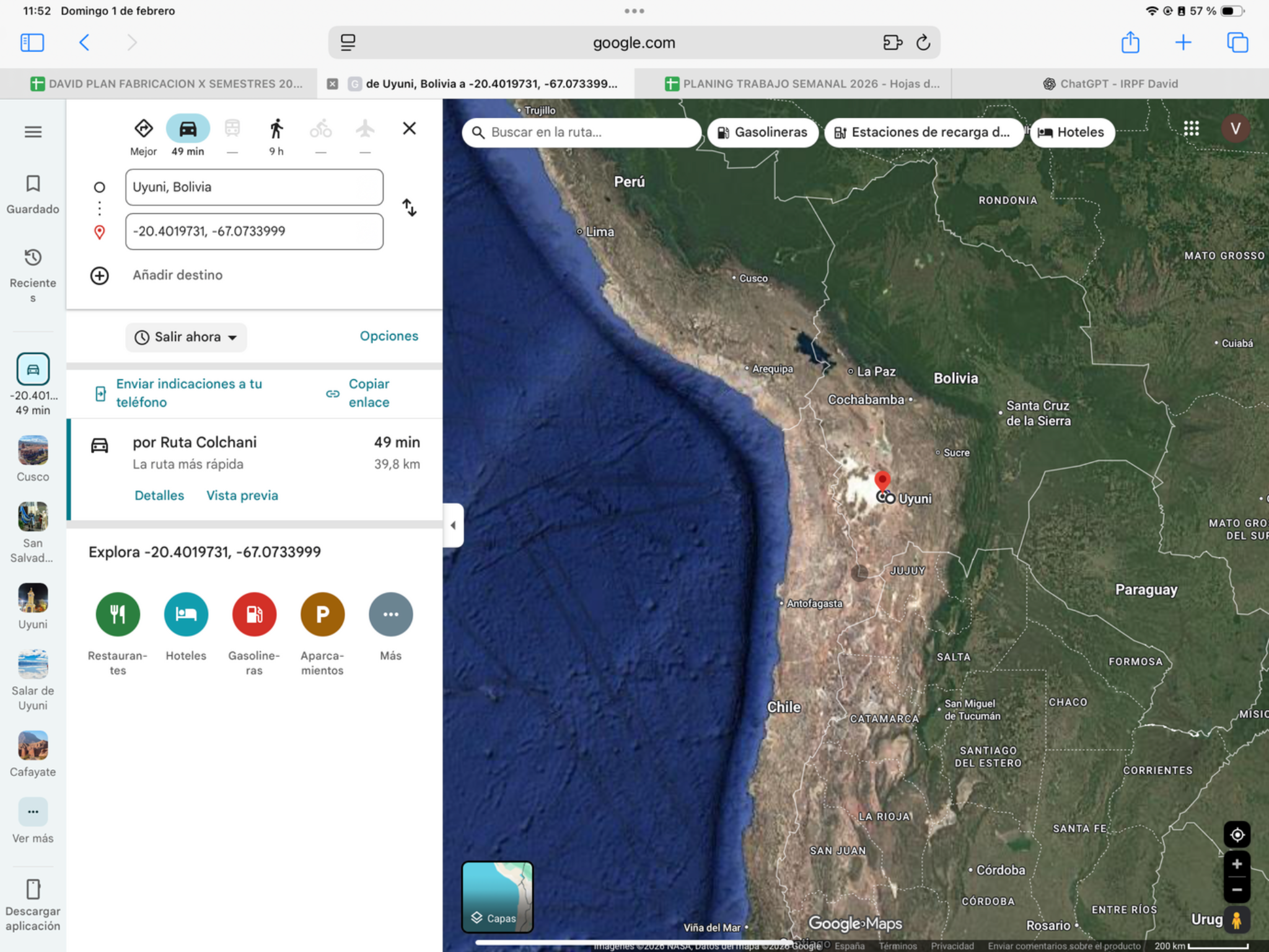
Today’s plan
Spend the planned excursion day on the Salar de Uyuni rather than extending the road itinerary. Vast salt patterns, perspective photographs and changing evening light are the draw. Let a local operator adapt the circuit to conditions; the road map is not a safe track across the salt flat.
Check local sunrise/sunset for this revised date; keep a daylight arrival margin.
Worth the stopSalar, Colchani & sunset
An enormous white horizon, giant-cactus viewpoints when accessible, playful perspective photographs and sunset light make the Salar one of the trip’s standout days. Stay two nights in Uyuni and use 20 December for the visit; a full-day excursion fits if you arrive on Day 28.
Choose your outing
4×4 itinerary & seasonal access ↗Motorcycle tour & booking ↗Firsthand motorcycle account ↗Two things to picture while you are there
- You are standing on the world’s largest salt flat, covering roughly 10,000 km². That vast scale is what makes the horizon seem endless.
- It is the mineral remnant of a huge prehistoric lake that dried over thousands of years. The landscape you photograph is a former lake bed, not a white-sand desert.
- Mapped distance · approx.
- 195 km
- Map travel baseline
- 3 h 13 min
- Allow for the whole day
- 5–6 h
- Country
- Bolivia
- Accumulated km · planned
- 0 km
The route
Tupiza → Uyuni
Route for day 29 · Plan B ↗Google driving estimate checked 11 October 2026; stops, queues and future conditions can change the total.
Today’s ride · Plan B
Ride the high, exposed Route 21 to Uyuni in daylight. Settle in and rest for tomorrow. A full-day Salar tour no longer fits; do not assume a late arrival can join a sunset departure. Arrange any short operator outing only after confirming arrival and conditions.
Check local sunrise/sunset for this revised date; keep a daylight arrival margin.
30Uyuni → PatacamayaRiding dayLogistic task
- Mapped distance · approx.
- 447 km
- Map travel baseline
- 6 h 41 min
- Allow for the whole day
- 8–9h
- Country
- Bolivia
- Accumulated km · planned
- 0 km
The route
Uyuni → Patacamaya
View route reference image
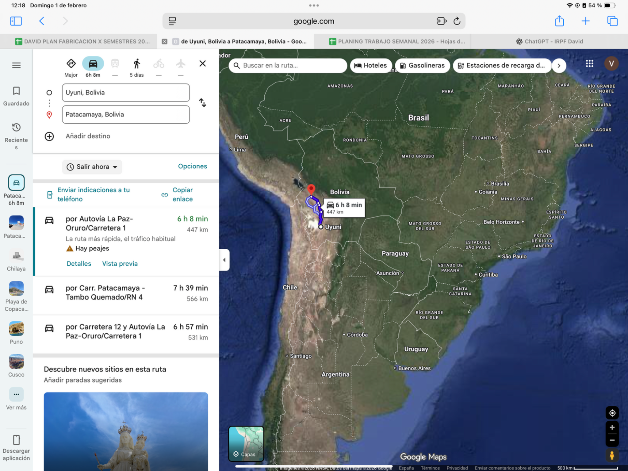
Today’s ride
An exposed Altiplano transfer to Patacamaya, with big horizons, long stretches and altitude throughout. Leave early enough for measured breaks and fuel checks. Temperatures can change quickly; this is a day for steady progress rather than adding a distant viewpoint.
Check local sunrise/sunset for this revised date; keep a daylight arrival margin.
Riding notes
High plateau · moderate / long
Keep extra layers accessible and check onward fuel availability before leaving the last reliable supply.
Worth the stopAltiplano: the scale of the high country
The reward is the broad high-country landscape between settlements, where an enormous sky and distant ridgelines dominate the ride. Choose one safe roadside pause to appreciate the scale. Today is a transfer with limited services; a remote viewpoint detour would work against the fuel and arrival plan.
The Altiplano is a high plateau formed as the Andes rose. After Uyuni’s salt-white surface, the open basins and distant mountains give today’s ride a different sense of scale; use an existing turnout for a brief pause.
Source ↗Keep it brief: roadside scenery or a short arrival walk. Budget 15–30 minutes if you stop; no separate excursion is included. Use safe on-route pullouts, or check local access from your accommodation.
Bolivia Travel · high-country destination contextWhen to do it · Outdoor stop: use daylight and actual arrival time. No ticketed activity or indoor opening is assumed.
Fuel challengeUyuni → Patacamaya · 447 km
Leave Uyuni full and confirm an operating refill along the RN5/RN1 corridor, for example around Challapata. Check payment and availability for a foreign vehicle before the next remote section.
Check the next working fuel stop locally; no future opening hours or fuel stock are guaranteed.
Find fuel along this corridor31Patacamaya → PunoRiding day
- Mapped distance · approx.
- 328 km
- Map travel baseline
- 5 h 40 min
- Allow for the whole day
- 8–10h
- Countries
- Bolivia → Peru
- Accumulated km · planned
- 0 km
The route
Patacamaya → Desaguadero → Puno
View route reference image
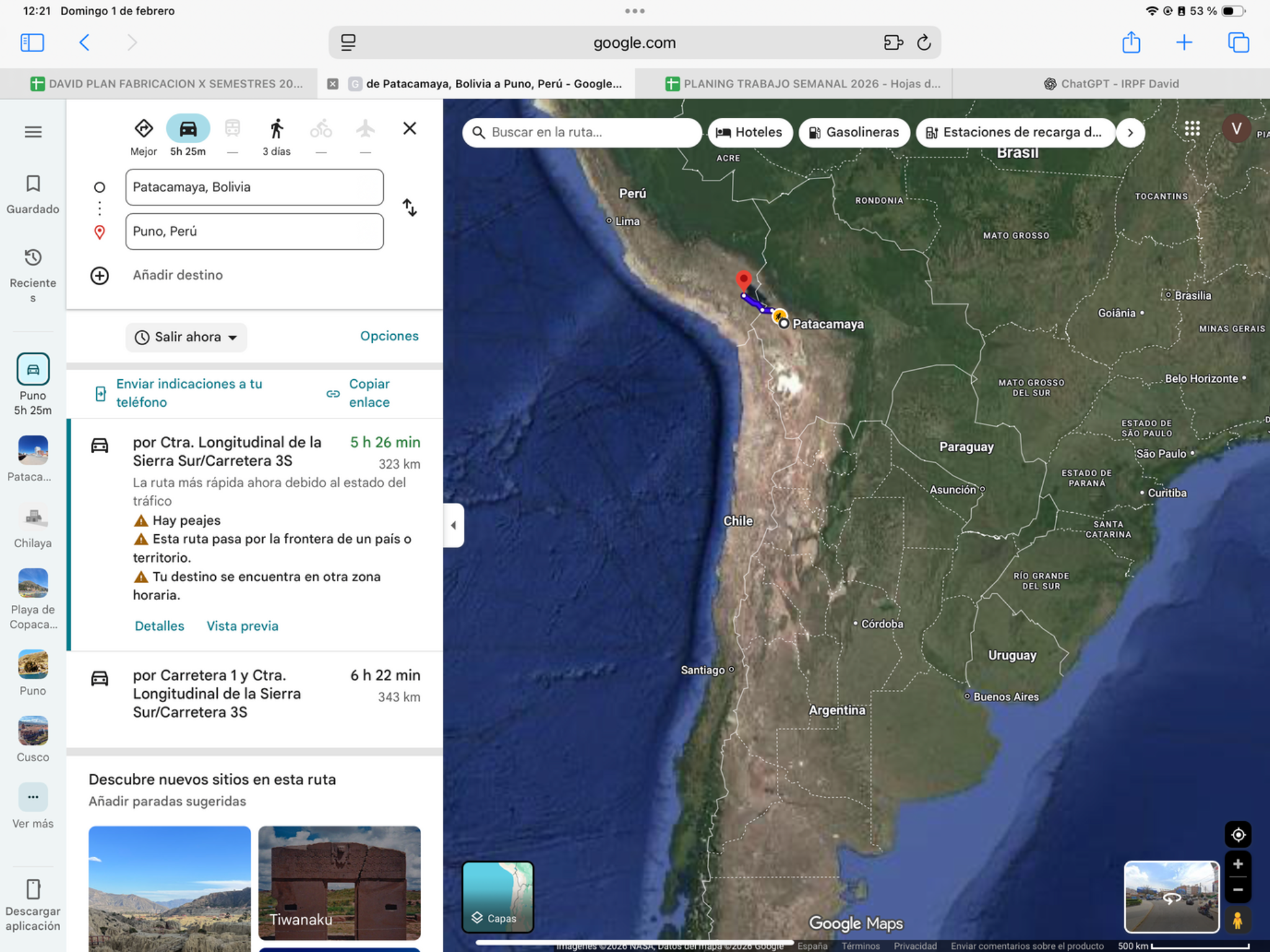
Today’s ride
Ride toward Lake Titicaca and the Desaguadero crossing before continuing to Puno. Start early so paperwork does not consume the afternoon. The lake country rewards brief safe photo stops, but arrival, Christmas travel bookings and rest take priority over a separate lakeside circuit.
Check local sunrise/sunset for this revised date; keep a daylight arrival margin.
Riding notes
Mostly paved · border day
Use the revised dated route and confirmation notes below. Essential maintenance and documents must be arranged before the next departure; no extra rest day or excursion transfer is included.
Worth the stopFirst evening beside Lake Titicaca
The broad lake and high-altitude light give Puno a setting unlike the valleys you have crossed. If the border day finishes comfortably, make a short waterfront visit after parking. Island visits require a boat and several hours; they are not included in this arrival-day suggestion.
Titicaca sits roughly 3,810 m above sea level. The broad blue horizon you see from Puno is high-Andean lake country, not a lowland coast; take the arrival stroll slowly and leave island visits for a separately planned outing.
Source ↗After parking: allow 20–40 min for the local walk or food stop. Access depends on your accommodation; this is not included in the road distance.
Perú Travel · Lake TiticacaWhen to do it · Outdoor stop: use daylight and actual arrival time. No ticketed activity or indoor opening is assumed.
Border crossingBolivia → Peru · CEBAF Desaguadero
- Where to go: Go to the CEBAF on the binational road, km 3. Use the vehicle-processing compound rather than the town-centre pin.
- What to do: Close Bolivia’s SIVETUR and complete migration exit/entry. Obtain Peru temporary vehicle admission and verify active SOAT before continuing.
- Documents: Passport or accepted travel ID, any entry permission required for your nationality, driving licence, original registration/ownership documents and authorization if the bike is not yours. Keep copies offline.
- For this crossing: Bolivia admission record, Peru SOAT valid through your Peru exit, and vehicle ownership or valid possession/authorization documents.
- Timing: Use the dated operating baselines and daylight targets below; reconfirm both sides before travel.
Dated hours & daylight planning
Checked November 19, 2026. Local 24-hour times. Published baselines need reconfirmation for the travel date and holidays; suggested times are targets, not appointments.
CEBAF Desaguadero, Bolivia → Peru: customs baseline 09:00–21:00 Bolivia time / 08:00–20:00 Peru time. This is one operating window, not two separate opening periods. Bolivia publishes the same window for weekends and holidays. Cross early and recheck current service on both sides.
Peru SOAT seller hours are separate from official border hours. Arrange active coverage before arrival if possible; otherwise confirm authorized issuance and activation before riding onward. A customs timetable does not confirm insurer availability, and no policy has been changed.
32Puno → CuscoRiding day
- Mapped distance · approx.
- 386 km
- Map travel baseline
- 6 h 40 min
- Allow for the whole day
- 8–9h
- Country
- Peru
- Accumulated km · planned
- 0 km
The route
Puno → Cusco
View route reference image
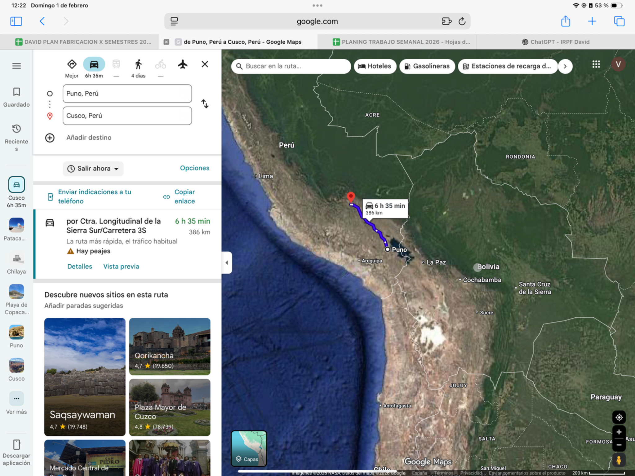
Today’s ride
A high-Andean ride toward Cusco through the La Raya corridor. Leave enough daylight for the mountain roads and choose at most one cultural stop. Reach your secure accommodation and settle in ahead of the full Christmas rest day on December 25.
Check local sunrise/sunset for this revised date; keep a daylight arrival margin.
Riding notes
Paved · high mountain pass
Arrange secure bike storage and tomorrow’s station transfer before evening; holiday services may differ.
Worth the stopRaqchi · Temple of Wiracocha
Raqchi’s temple and storehouses offer a striking introduction to Inca architecture. Choose it as your one cultural visit today only if enough daylight remains to reach Cusco.
The Temple of Wiracocha’s high surviving walls are Raqchi’s signature sight. Look beyond a single ruin photograph at the wider complex; it shows that this was a substantial Inca site on the travel corridor.
Source ↗Estimated local access: 10–20 min. Visit: 45–75 min. Total extra: 55–95 min; confirm holiday access before stopping.
Visitor information ↗When to do it · 23 December: Raqchi publishes 07:00–17:00, but Christmas Day exceptions remain unconfirmed. Depart Puno around 07:00 if taking the 55–80 min stop; aim to reach Cusco by 17:30. Skip it if delayed.
Schedule / sourceChristmas timing · fixed rest stop
Expected Cusco arrival 2026-12-23. Reach Cusco by December 24 to preserve a FULL rest day on December 25. Cusco → Chalhuanca is December 26 only if preceding roads and borders permit. A later arrival is a schedule conflict: reassess openly, never erase Christmas rest or compress unsafe riding. Train and Machu Picchu are removed from the route; any existing tickets/bookings remain untouched.
33Cusco · local buffer / recoveryRest day
- Distance · approx.
- 0 km
- Riding time · estimate
- 0 h
- Country
- Peru
December 24 is the margin gained before the fixed Christmas stop. The San Antonio Oeste fallback uses this day to reach Cusco. Keep it flexible for preceding border or road delays; do not add a compulsory excursion.
34Cusco · Christmas full rest dayRest day
- Distance · approx.
- 0 km
- Riding time · estimate
- 0 h
- Country
- Peru
Full rest day in Cusco on December 25. No riding, train transfer or Machu Picchu visit. Book the same secure accommodation through the night of December 25; no reservations have been changed.
Logistics
Dated logistics & daylight planning
Checked November 19, 2026. Local 24-hour times. Published baselines need reconfirmation for the travel date and holidays; suggested times are targets, not appointments.
Full Christmas rest in Cusco, with no land-border crossing today. Local holiday opening hours for food and other services require separate confirmation. The planned Cusco → Chalhuanca departure remains December 26, conditional on the preceding route and border timing.
35Cusco → ChalhuancaRiding day
- Mapped distance · approx.
- 313 km
- Map travel baseline
- 6 h 26 min
- Allow for the whole day
- 8–9h
- Country
- Peru
- Accumulated km · planned
- 0 km
The route
Cusco → Chalhuanca
View route reference image
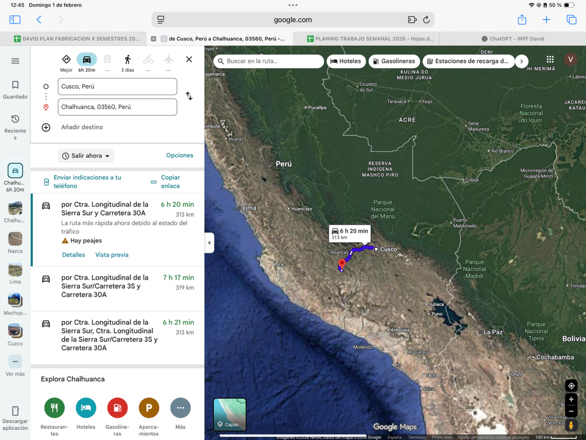
Today’s ride
The Andes take over again: expect repeated bends and elevation changes through the Abancay corridor toward Chalhuanca. Start early enough to ride the mountain sections in daylight. Distances can feel slower here than on the coast, so favour short viewpoint breaks over extra detours.
Check local sunrise/sunset for this revised date; keep a daylight arrival margin.
Riding notes
Paved mountain corridor · demanding
Collect the bikes before departure and allow for traffic around Abancay.
Worth the stopThe mountain road toward Chalhuanca
Today’s highlight is the changing perspective as the road crosses high slopes and descends into the Apurímac landscape. A short pause at an existing turnout lets you appreciate the valley’s depth instead of concentrating only on the next bend. Keep it brief: arrival in daylight matters more than finding another attraction.
Apurímac’s deep valleys are the landscape story here. At a safe on-route turnout, include the road in the frame to show the mountain scale; avoid a separate canyon-viewpoint detour on this transfer day.
Source ↗Keep it brief: roadside scenery or a short arrival walk. Budget 15–30 minutes if you stop; no separate excursion is included. Use safe on-route pullouts, or check local access from your accommodation.
Perú Travel · regional travel informationWhen to do it · Outdoor stop: use daylight and actual arrival time. No ticketed activity or indoor opening is assumed.
Christmas timing · fixed rest stop
Expected Cusco arrival 2026-12-23. Reach Cusco by December 24 to preserve a FULL rest day on December 25. Cusco → Chalhuanca is December 26 only if preceding roads and borders permit. A later arrival is a schedule conflict: reassess openly, never erase Christmas rest or compress unsafe riding. Train and Machu Picchu are removed from the route; any existing tickets/bookings remain untouched.
36Chalhuanca → NazcaRiding dayLogistic task
- Mapped distance · approx.
- 345 km
- Map travel baseline
- 6 h 39 min
- Allow for the whole day
- 8–9h
- Country
- Peru
- Accumulated km · planned
- 0 km
The route
Chalhuanca → Nazca
View route reference image
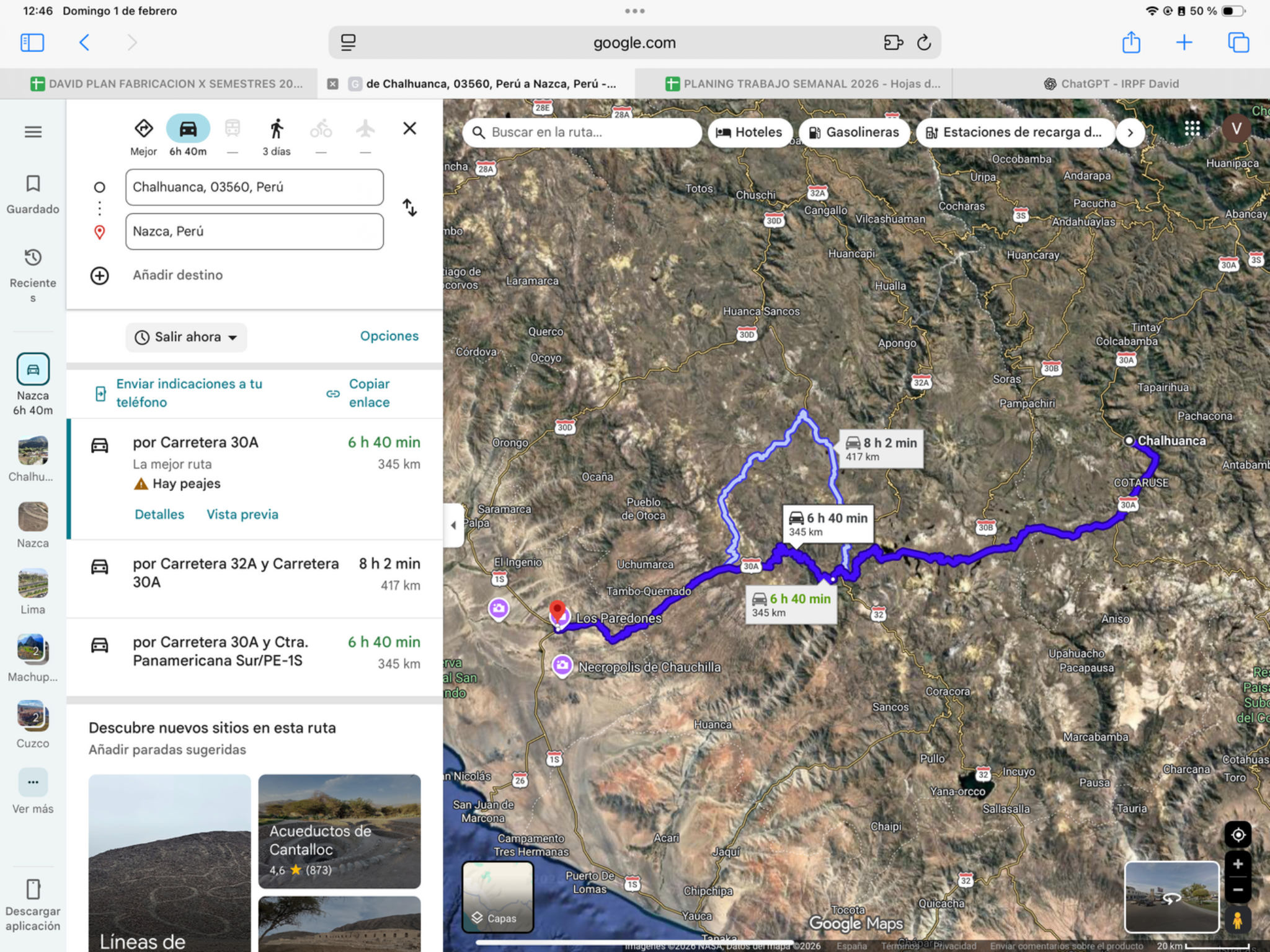
Today’s ride
A dramatic mountain-to-desert day toward Nazca, with sustained curves, high sections and a warmer finish. Leave early and expect changing temperatures rather than one outfit for the whole ride. Save energy for the descending roads and keep stops brief if progress is slow.
Check local sunrise/sunset for this revised date; keep a daylight arrival margin.
Riding notes
Paved mountain road · demanding
Give trucks space on descents and change layers at safe stopping places.
Worth the stopPampa Galeras: look for vicuñas
The high grasslands around Pampa Galeras are home to the slender wild vicuña, an animal closely linked to Andean conservation and fibre traditions. Seeing a small herd against the open plateau is a memorable contrast before the descent to Nazca’s desert. Observe from a safe stopping place and give animals space.
Pampa Galeras helped recover the vicuña through protection and community management. Its traditional chaccu is a controlled capture-and-shearing event, principally in June; your December visit is a wildlife-viewing opportunity, not that festival.
Source ↗Keep it brief: roadside scenery or a short arrival walk. Budget 15–30 minutes if you stop; no separate excursion is included. Use safe on-route pullouts, or check local access from your accommodation.
SERNANP · Pampa GalerasWhen to do it · 27 December: roadside wildlife observation only. No reserve visitor-centre admission or guided activity is assumed; animals and visibility are not guaranteed.
37Nazca → HuacachinaRiding day
- Mapped distance · approx.
- 149 km
- Map travel baseline
- 2 h 41 min
- Allow for the whole day
- 4–5h
- Country
- Peru
- Accumulated km · planned
- 0 km
The route
Nazca → Huacachina
View route reference image
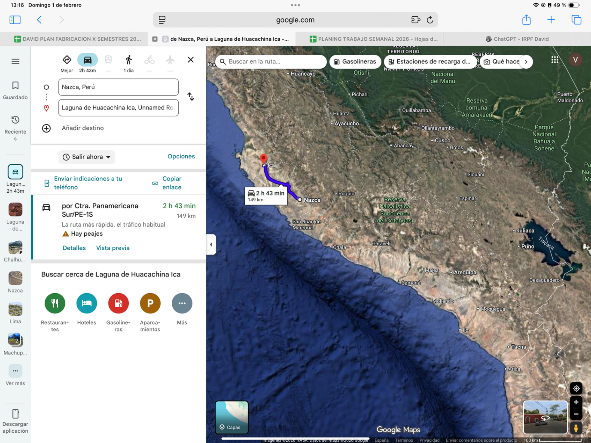
Today’s ride
The Panamericana replaces mountain bends with open desert riding toward Ica and Huacachina. This shorter transfer offers more breathing room; a reasonable morning departure can leave time for the oasis late in the day. Save the larger dune activity for tomorrow.
Check local sunrise/sunset for this revised date; keep a daylight arrival margin.
Riding notes
Paved · desert transfer
Any Nazca Lines flight is a separately booked activity with its own time requirement. The route does not include riding across the dunes.
Worth the stopFirst look at Huacachina’s oasis
A green lagoon and palms sit beneath towering sand dunes—a striking change after the desert highway. Walk the lagoon edge when you arrive and enjoy the contrast of water, village and sand. Save the strenuous dune climb or buggy outing for tomorrow’s dedicated rest day.
One local legend says Huacachina’s lagoon formed from a grieving woman’s tears. Treat it as folklore while you walk the palm-fringed water; the contrast with the surrounding dunes is real enough.
Source ↗After parking: allow 20–40 min for the local walk or food stop. Access depends on your accommodation; this is not included in the road distance.
Perú Travel · Huacachina oasisWhen to do it · Outdoor stop: use daylight and actual arrival time. No ticketed activity or indoor opening is assumed.
38Huacachina dunesRest dayLogistic task
- Distance · approx.
- 0 km
- Riding time · estimate
- 0 h
- Country
- Peru
- Accumulated km · planned
- 0 km
The plan
Huacachina / Ica base
View route reference image
Today’s plan
A day off the bike beside the dunes. A relaxed morning makes sense if your booked activity is later; the softer evening light is the attraction for photographs. Use an authorised operator for any buggy or sandboarding outing and leave time to rest before Lima.
The saved Ica location is not a dune-riding track; use the operator’s confirmed meeting point.
Check local sunrise/sunset for this revised date; keep a daylight arrival margin.
Worth the stopHuacachina: dunes at golden hour
The dunes are the show: late sunlight brings out their ridges and turns the sand gold and orange around the little oasis. Choose a guided buggy-and-sandboarding outing for the thrill, or a shorter sunset viewpoint walk for the landscape. Soft sand makes climbing slower than it looks; agree a manageable viewpoint with your guide.
The oasis and surrounding desert are a Regional Conservation Area, not just a buggy playground. For photographs, the lagoon gives the dunes a sense of scale; for activity, use a licensed local operator and protect the service appointment first.
Source ↗Within today’s planned activity time; any operator transfer and meeting point must be confirmed separately.
Perú Travel · dunes and sunsetFor this revised date, check local sunset and the actual operator’s meeting/return times before booking. Keep the activity optional if daylight, weather or onward travel leaves insufficient time.
Schedule / source39Huacachina → LimaRiding day
- Mapped distance · approx.
- 308 km
- Map travel baseline
- 4 h 21 min
- Allow for the whole day
- 6–7h
- Country
- Peru
- Accumulated km · planned
- 0 km
The route
Huacachina → Lima
View route reference image
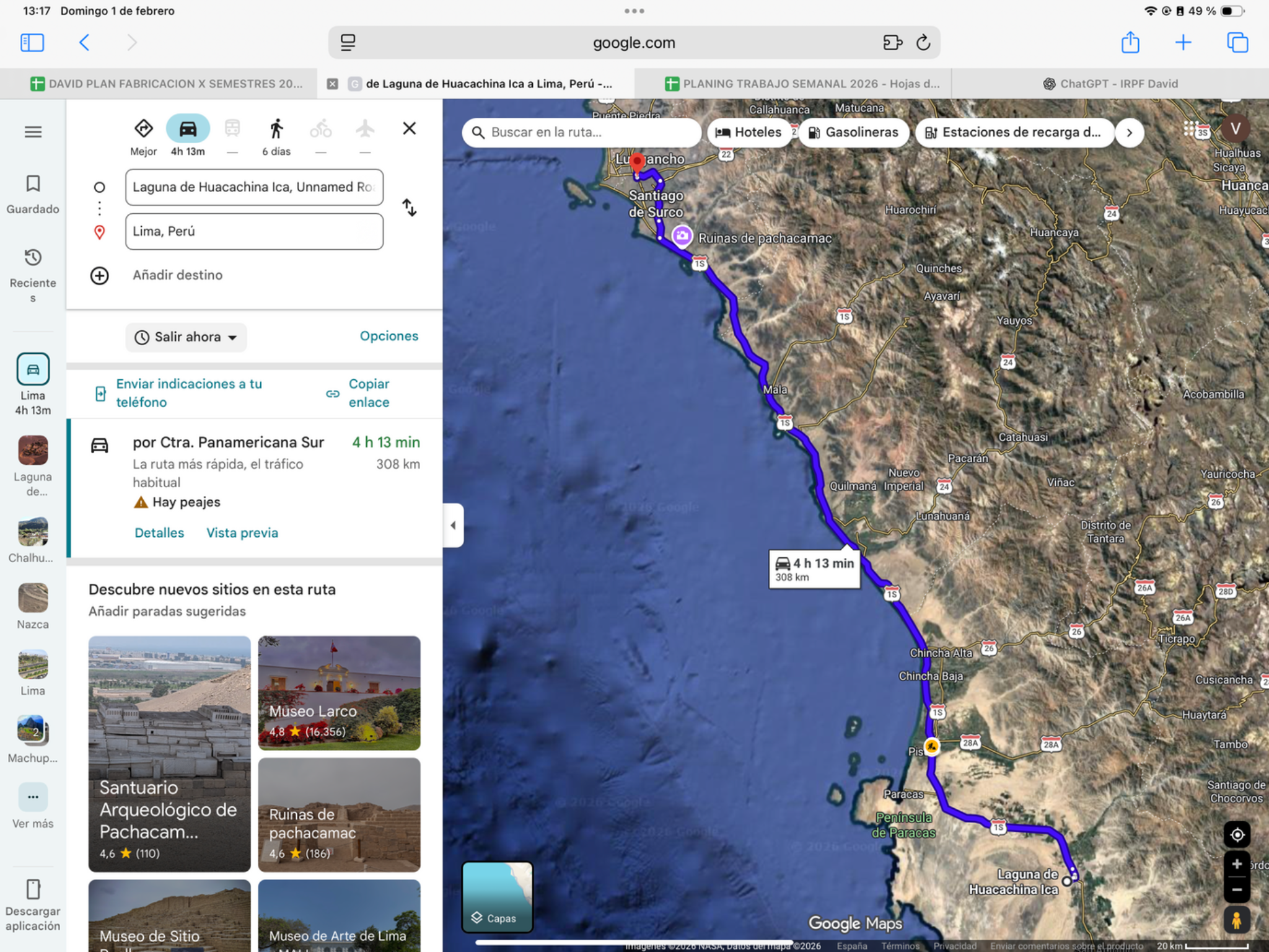
Today’s ride
Use the revised dated route and confirmation notes below. Essential maintenance and documents must be arranged before the next departure; no extra rest day or excursion transfer is included.
Check local sunrise/sunset for this revised date; keep a daylight arrival margin.
Riding notes
Paved · busy approach
Set the accommodation and parking destination before entering Lima.
Worth the stopMiraflores malecón after parking
If your Lima base is nearby, the clifftop malecón offers Pacific views and a welcome walk after city traffic. The contrast is memorable: a major capital above surf and open ocean. Make this an arrival stroll, not another ride across Lima to chase sunset.
The Costa Verde road runs below Lima’s cliffs, while the malecón walk is above them. That elevated perspective is the attraction: surf, ocean and the city edge in one view after you have parked.
Source ↗After parking: allow 20–40 min for the local walk or food stop. Access depends on your accommodation; this is not included in the road distance.
Perú Travel · Miraflores and Costa VerdeWhen to do it · 30 December: outdoor arrival stroll only. New Year’s Day opening hours are unverified; keep sightseeing close to the hotel.
Lima overnight only · arrange service ahead
Arrive December 30; leave for Chimbote December 31. The Lima rest day is removed. If tyres, oil, parts or paperwork need a workshop, secure stock and a realistic appointment in advance; an evening arrival does not guarantee service. Do not defer essential work to a nonexistent rest day. Holiday opening hours need confirmation.
40Lima → ChimboteRiding day
- Mapped distance · approx.
- 426 km
- Map travel baseline
- 6 h 39 min
- Allow for the whole day
- 8–9h
- Country
- Peru
- Accumulated km · planned
- 0 km
The route
Lima → Chimbote
View route reference image
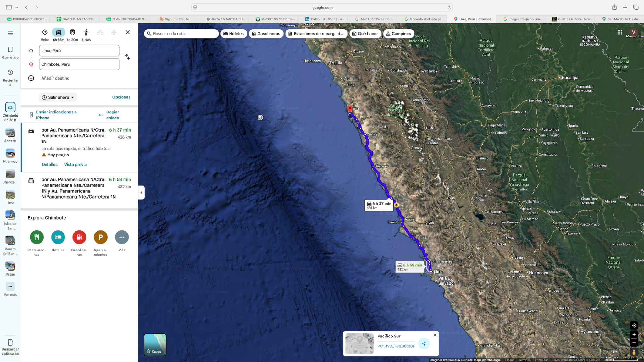
Today’s ride
Leave Lima early to clear the urban approach before settling into the northbound coastal corridor. Desert stretches, towns and truck traffic make this a concentration day rather than a constant scenic twisty ride. Keep breaks regular and reach Chimbote before dark.
Check local sunrise/sunset for this revised date; keep a daylight arrival margin.
Riding notes
Paved · traffic / desert
Plan shade and water breaks; take particular care around trucks and town entrances.
Worth the stopA Pacific pause on the coastal corridor
The appeal today is the stark meeting of desert and ocean, with fishing settlements breaking the long coastal journey. Use a normal meal or rest stop with a sea view if one is convenient to the road. This is a flexible pause, not a named attraction worth delaying arrival for.
Peru’s coast is not uniformly tropical: central-coast beaches have cooler water, unlike the warmer northern beaches ahead. The desert-and-Pacific contrast is today’s photo opportunity during a normal roadside break.
Source ↗Keep it brief: roadside scenery or a short arrival walk. Budget 15–30 minutes if you stop; no separate excursion is included. Use safe on-route pullouts, or check local access from your accommodation.
Perú Travel · coastal travel contextWhen to do it · Outdoor stop: use daylight and actual arrival time. No ticketed activity or indoor opening is assumed.
41Chimbote → ChiclayoRiding day
- Mapped distance · approx.
- 345 km
- Map travel baseline
- 6 h 20 min
- Allow for the whole day
- 8–9h
- Country
- Peru
- Accumulated km · planned
- 0 km
The route
Chimbote → Chiclayo
View route reference image
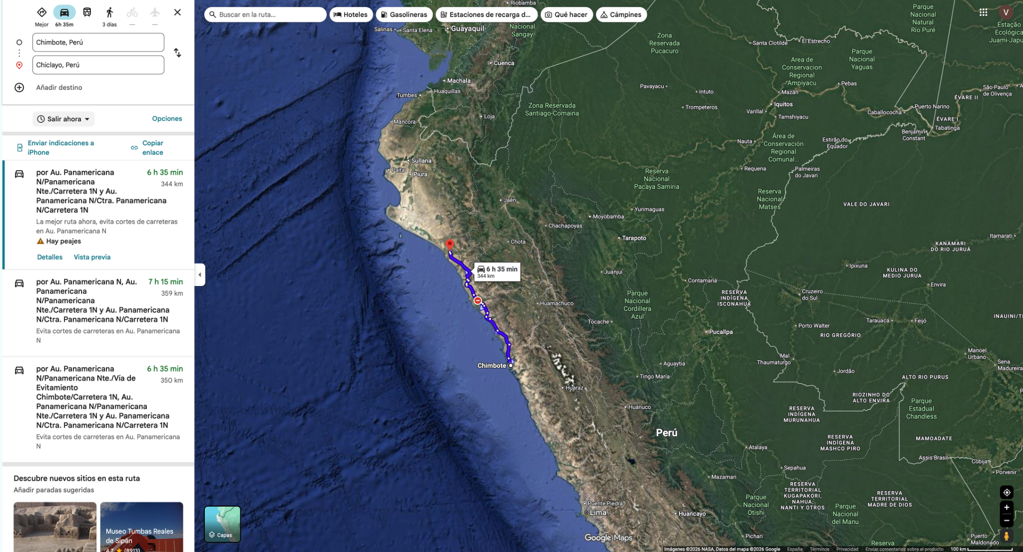
Today’s ride
Continue north through the Trujillo corridor to Chiclayo. Open coastal mileage is broken by busy urban sections, so an early start matters if you want Chan Chan. Make it the one substantial stop today and skip it if the access traffic would threaten daylight arrival.
Check local sunrise/sunset for this revised date; keep a daylight arrival margin.
Riding notes
Paved · moderate / long
Reassess the optional stop after seeing actual Trujillo traffic.
Worth the stopChan Chan · only with time to spare
The Chimú adobe city reveals monumental walls, courtyards and geometric reliefs in a desert setting. It is a substantial visit, not a quick roadside photo. Make it today’s single major stop and protect daylight for Chiclayo.
Use the revised dated route and confirmation notes below. Essential maintenance and documents must be arranged before the next departure; no extra rest day or excursion transfer is included.
Source ↗Estimated access/return to corridor: 30–45 min. Visit: 90–120 min. Total extra: 2–2¾ h, more with Trujillo traffic.
Visitor information ↗Check local opening hours for this revised date. No admission, holiday service or motorcycle customs appointment is confirmed; resolve paperwork and active insurance beforehand.
Schedule / sourceMinistry of Culture · opening daysLogistics
Dated logistics & daylight planning
Checked November 19, 2026. Local 24-hour times. Published baselines need reconfirmation for the travel date and holidays; suggested times are targets, not appointments.
New Year’s Day is the planned Chimbote → Chiclayo ride within Peru, not a land-border crossing. Confirm fuel, meals, lodging access and any workshop opening separately; do not treat a national border schedule as a local holiday-service guarantee.
42Chiclayo → MáncoraRiding dayLogistic task
- Mapped distance · approx.
- 392 km
- Map travel baseline
- 5 h 55 min
- Allow for the whole day
- 7–8h
- Country
- Peru
- Accumulated km · planned
- 0 km
The route
Chiclayo → Máncora
View route reference image
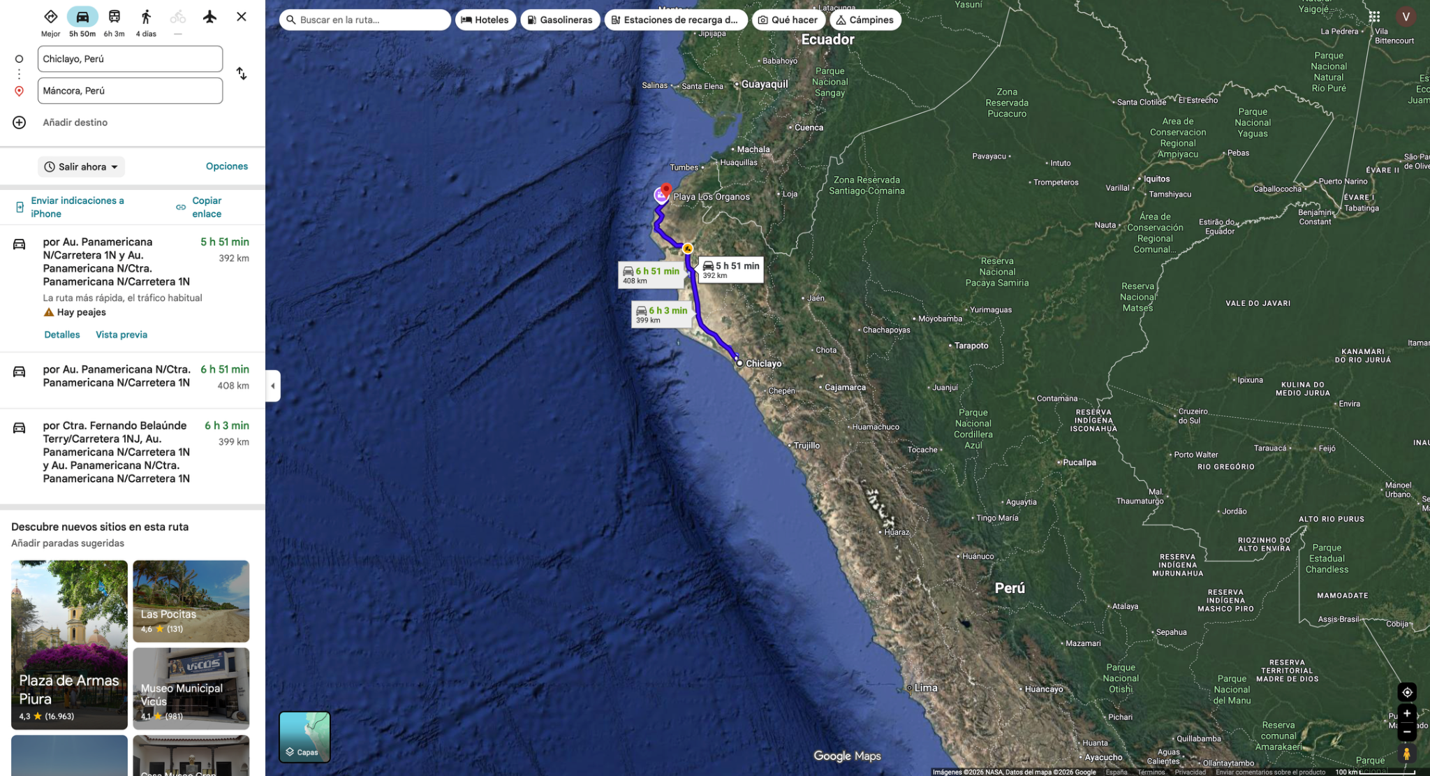
Today’s ride
Ride north through Lambayeque and Piura toward the beach break in Máncora. Expect open, warm coastal-country mileage and busy town approaches. Leave in the morning and plan shade and water breaks.
Check local sunrise/sunset for this revised date; keep a daylight arrival margin.
Riding notes
Paved · hot / exposed
Allow for Piura traffic and avoid pushing through heat without breaks.
CampingMisfits · Máncora beach
- Why camp here: pitch your own tent beside the Pacific, with beach access, hammocks and the sound of waves. July 2026 tent campers and August visitors confirm the appeal; ask for a sheltered pitch away from neighbouring music.
- Facilities: shared kitchen, toilets, cold shower and Wi-Fi are reported. Expect simple beach-camp comfort. Mosquitoes, ants, wind and occasional noise feature in reviews; bring a good tent net and repellent.
- Big-bike access: contact the host before arrival for the road entrance and firm motorcycle parking. Sandy pitches are reported; do not ride loaded bikes onto the beach or soft sand. Park on firm ground and carry the tent if needed. January space, gate arrangements and prices still need confirmation.
- Tonight, 2 January: arrive and inspect in daylight after the long ride; use a hotel if the entrance is sandy or you are tired.
43MáncoraRest day
- Distance · approx.
- 0 / optional 50 km
- Riding time · estimate
- 0 / optional 1 h
- Country
- Peru
- Accumulated km · planned
- 0 km
The plan
Máncora base → optional Punta Sal → Máncora
View route reference image
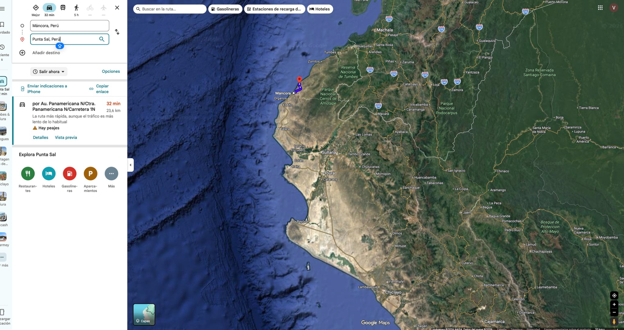
Today’s plan
The only full Máncora rest day. Rest, finish Peru exit / Ecuador motorcycle-entry paperwork, verify the unresolved foreign-vehicle insurance requirement with SENAE and check Colombia SOAT arrangements in advance. Cross into Ecuador tomorrow on its own riding day.
Check local sunrise/sunset for this revised date; keep a daylight arrival margin.
Worth the stopMáncora: a beach day worth slowing down for
After weeks of riding, the luxury here is time beside the Pacific: a long beach walk, watching surfers and an unhurried seafood lunch. Stay near your base so the day remains restful. A separate Punta Sal outing is optional and needs its own transport allowance; it is not necessary to enjoy this coast.
Máncora’s warm-water coast is a contrast with Lima’s cooler Pacific edge. This is a good day to make a relaxed seafood meal and beach walk the activity, with no need to ride to another resort.
Source ↗Within today’s planned activity time; any operator transfer and meeting point must be confirmed separately.
Perú Travel · northern beachesFor this revised date, check local sunset and the actual operator’s meeting/return times before booking. Keep the activity optional if daylight, weather or onward travel leaves insufficient time.
CampingMisfits · Máncora beach
- Why camp here: pitch your own tent beside the Pacific, with beach access, hammocks and the sound of waves. July 2026 tent campers and August visitors confirm the appeal; ask for a sheltered pitch away from neighbouring music.
- Facilities: shared kitchen, toilets, cold shower and Wi-Fi are reported. Expect simple beach-camp comfort. Mosquitoes, ants, wind and occasional noise feature in reviews; bring a good tent net and repellent.
- Big-bike access: contact the host before arrival for the road entrance and firm motorcycle parking. Sandy pitches are reported; do not ride loaded bikes onto the beach or soft sand. Park on firm ground and carry the tent if needed. January space, gate arrangements and prices still need confirmation.
- 3 January rest day: stay in the same pitch if comfortable. This is the best day to enjoy the beach without adding riding.
Border paperwork · holiday / weekend lead time
Máncora January 3 is a Sunday. Resolve insurer/manual-office issues before the New Year holiday and weekend where possible; use today to verify offline proofs, not assume an office is open. Ecuador crossing January 4 remains a separate day. Written SENAE confirmation of the foreign-vehicle insurance/SPPAT position is still required. Verify Colombia SOAT/RUNT for January 7 entry before leaving Peru.
44Máncora → CuencaRiding day
- Mapped distance · approx.
- 383.1 km
- Map travel baseline
- 8 h 29 min
- Allow for the whole day
- 11–13h
- Countries
- Peru → Ecuador
- Accumulated km · planned
- 0 km
The route
Máncora → Charralique / TU-105 → CEBAF → Cuenca
Time-saving route
Coastal road via Tumbes / CEBAF
Choose the coastal main roads to reach the same overnight stop in Cuenca with roughly 37 km and 1 h 40 min less driving than Charralique. Border processing still makes this a full day; the two-day Plan B gives more time. This road-surface alternative does not resolve the regional security concerns.
346 km · about 6 h 45 min driving. Panamericana → Tumbes → CEBAF → E25/E59 → Cuenca. Allow 9–11 h including border processing and breaks; leave early. Day 43 remains a rest day.
Driving estimates checked 11 Oct 2026; stops and border queues are extra. Check live conditions. Dashboard and master line remain Plan A.View route reference image
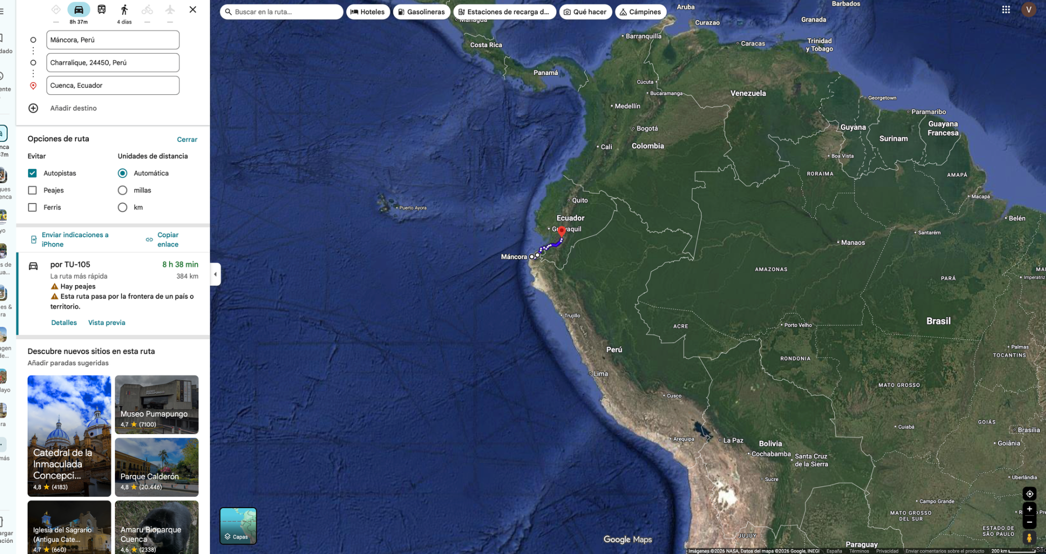
Today’s ride
Leave very early: this is a long coastal-to-Andean day, with the border followed by a slower climb toward Cuenca. The saved approach includes Charralique/TU-105; verify local access before committing to it. Preserve daylight for the mountain finish and make town sightseeing optional after parking.
Riding notes
Coast to mountains · demanding
Expect a slower mountain climb after the border, with cloud, rain and bends on the approach to Cuenca. Review the unpaved-road panel before choosing the inland approach.
Worth the stopCuenca historic centre
The cathedral domes and streets around Parque Calderón make a rewarding first glimpse of Cuenca after the mountain approach. Explore on foot after parking; a short evening walk is enough on this already long day.
Cuenca preserves a centuries-old street grid, with its old and new cathedrals around Parque Calderón. Notice how the squares and façades fit together; that coherent cityscape is part of its UNESCO heritage value.
Source ↗After parking: 30–60 min walking from a central base. No extra riding loop; add local transport if staying farther away.
Visitor information ↗When to do it · 4 January: town walk only after arrival and parking. Do not promise cathedral interior access after this long border stage; specific opening hours are unconfirmed.
Border crossingPeru → Ecuador · CEBAF Tumbes / Huaquillas
- Where to go: Follow the official CEBAF vehicle-control route at Tumbes/Huaquillas; the town-centre crossing is not a substitute for motorcycle customs processing.
- What to do: Close Peru temporary admission and complete migration exit/entry. Present the motorcycle to SENAE for the applicable tourist vehicle admission (DJT). Keep the issued record.
- Documents: Passport or accepted travel ID, any entry permission required for your nationality, driving licence, original registration/ownership documents and authorization if the bike is not yours. Keep copies offline.
- For this crossing: Peru admission record; Ecuador migration entry, licence and vehicle registration (rental contract if applicable). Obtain written confirmation of the current foreign-vehicle insurance/payment requirement before crossing.
- Timing: Use the dated operating baselines and daylight targets below; reconfirm both sides before travel.
Dated hours & daylight planning
Checked November 19, 2026. Local 24-hour times. Published baselines need reconfirmation for the travel date and holidays; suggested times are targets, not appointments.
CEBAF Tumbes–Huaquillas, Peru → Ecuador. SUNAT and SENAE publish 24-hour border customs/tourist-vehicle processing. SENAE Huaquillas’s local office phone +593 7 2609 002 is listed 08:00–17:00 Ecuador time; that is office/contact availability, not the booth schedule. Close each motorcycle’s Peru temporary admission, then obtain a separate Ecuador DJT for each bike from SENAE.
SPPAT: the September 30, 2026 reform established a fee for foreign plates. Collection start, payment method and whether Huaquillas accepts payment are unverified. Do not assume a border purchase or exemption; recheck official collection instructions and required proof before crossing. Existing insurance and route-security cautions still apply.
Leave Máncora early. The planned 11–13-hour day risks an after-dark mountain finish into Cuenca if border processing runs long. Border opening does not make night riding appropriate; reassess daylight and the existing security warnings before committing to the final mountain section.
SUNAT · Desaguadero and Tumbes hours
SENAE · tourist-vehicle procedure and 24-hour posts
SENAE · updated tourist-vehicle manual, 16 October 2026
Unpaved sectionsTU-105 via Charralique · surface not verified
- Where / length: the inland approach leaves Máncora via Carr. Barrancos and PI-105, then follows about 90 km of TU-105 through Charralique toward Puente Francos / Pampas de Hospital.
- Unpaved kilometres: unknown. The 90 km is the mapped TU-105 segment, not a verified all-gravel distance; the approach adds about 30 km on other local roads. Official records document unpaved roadworks, but do not establish current loaded-bike access.
- Do not commit after heavy rain or without local confirmation. The coastal alternative via Tumbes / CEBAF avoids this inland section; the two-day Plan B also gives you a Machala overnight.
Daylight riskThe upper time allowance exceeds daylight
Daylight risk: the shifted date invalidates the former solar-time calculation. Recheck local sunset, actual departure, border/ferry delays and a realistic stopping point. Do not plan a night finish to protect a reservation.
Colombia cover · earlier entry
Colombia entry is January 7, not the former January 11 holiday crossing. Recheck foreign-plate SOAT acceptance, RUNT activation and cover dates for each VIN/plate. DIAN lists Rumichaca customs 24/7; that does not promise insurer support or immediate issuance.
45Cuenca → AmbatoRiding dayLogistic task
- Mapped distance · approx.
- 322.8 km
- Map travel baseline
- 5 h 57 min
- Allow for the whole day
- 7–8h
- Country
- Ecuador
- Accumulated km · planned
- 0 km
The route
Cuenca → Azogues → Riobamba → Ambato
View route reference image
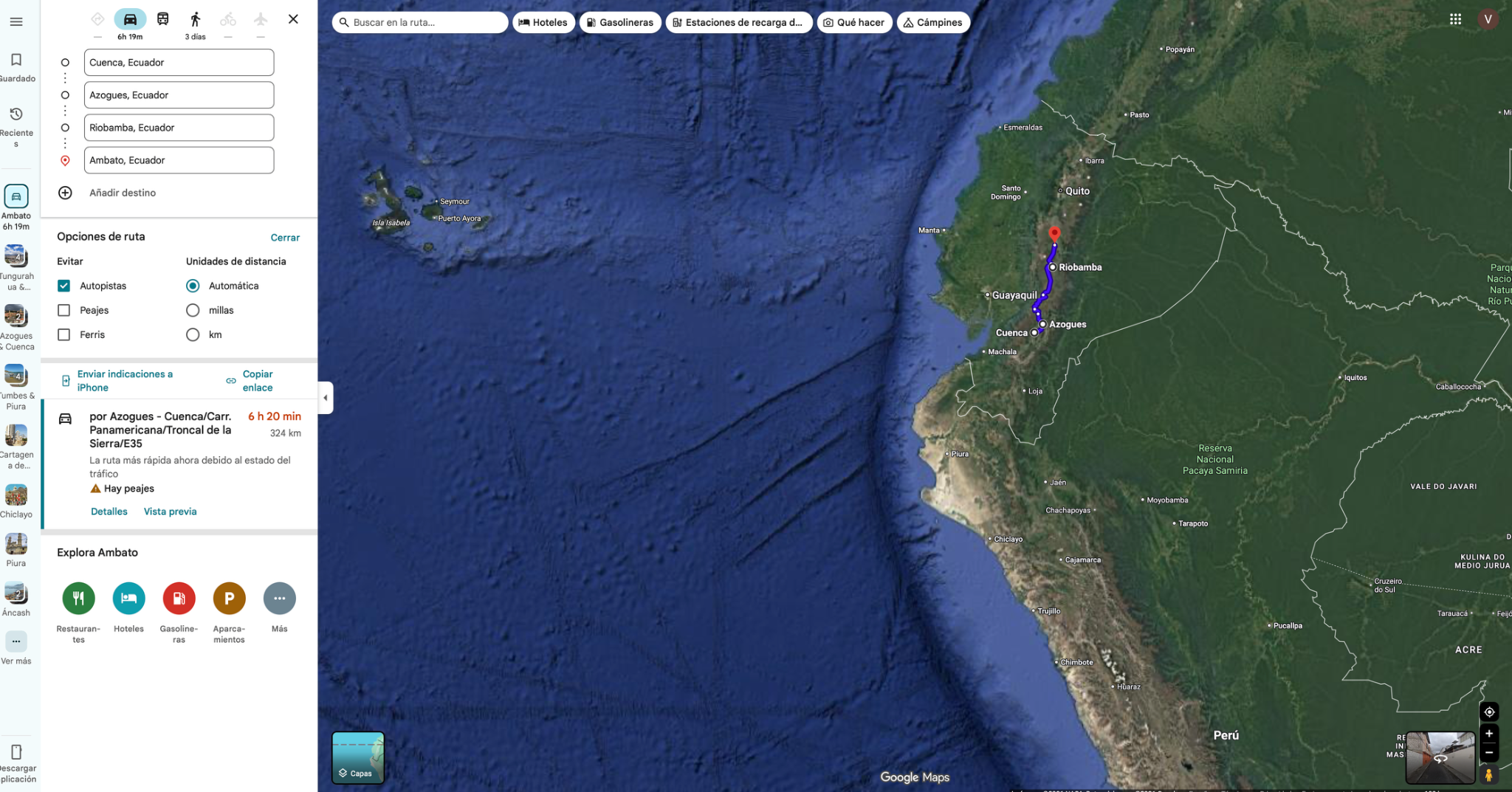
Today’s ride
A full Andean riding day through Azogues and Riobamba toward Ambato. Curves, elevation changes and town traffic make progress less predictable than the distance alone suggests. Start early; mountain views are a bonus when cloud clears, not a reason to add a side trip.
Check local sunrise/sunset for this revised date; keep a daylight arrival margin.
Riding notes
Paved · Andean curves
Check any live navigation changes against the planned towns before accepting a reroute.
Worth the stopA taste of Ambato: pan de Pinllo
Pinllo’s traditional wood-fired bread gives a normal food break a local story: a century-old baking tradition rather than another generic roadside snack. Ask where to buy it near your overnight base. Visiting the Pinllo neighbourhood itself adds local travel, so keep that optional after checking arrival time.
Traditional pan de Pinllo is baked directly on the floor of a eucalyptus-fired wood oven. Ask for the local bread by name; its texture and baking tradition make a simple snack more memorable.
Source ↗After parking: allow 20–40 min for the local walk or food stop. Access depends on your accommodation; this is not included in the road distance.
Pinllo parish · bread and local heritageWhen to do it · Outdoor stop: use daylight and actual arrival time. No ticketed activity or indoor opening is assumed.
46Ambato → TulcánRiding day
- Mapped distance · approx.
- 392.3 km
- Map travel baseline
- 6 h 52 min
- Allow for the whole day
- 8–9h
- Country
- Ecuador
- Accumulated km · planned
- 0 km
The route
Ambato → Latacunga → Cayambe → Ibarra → Tulcán
View route reference image
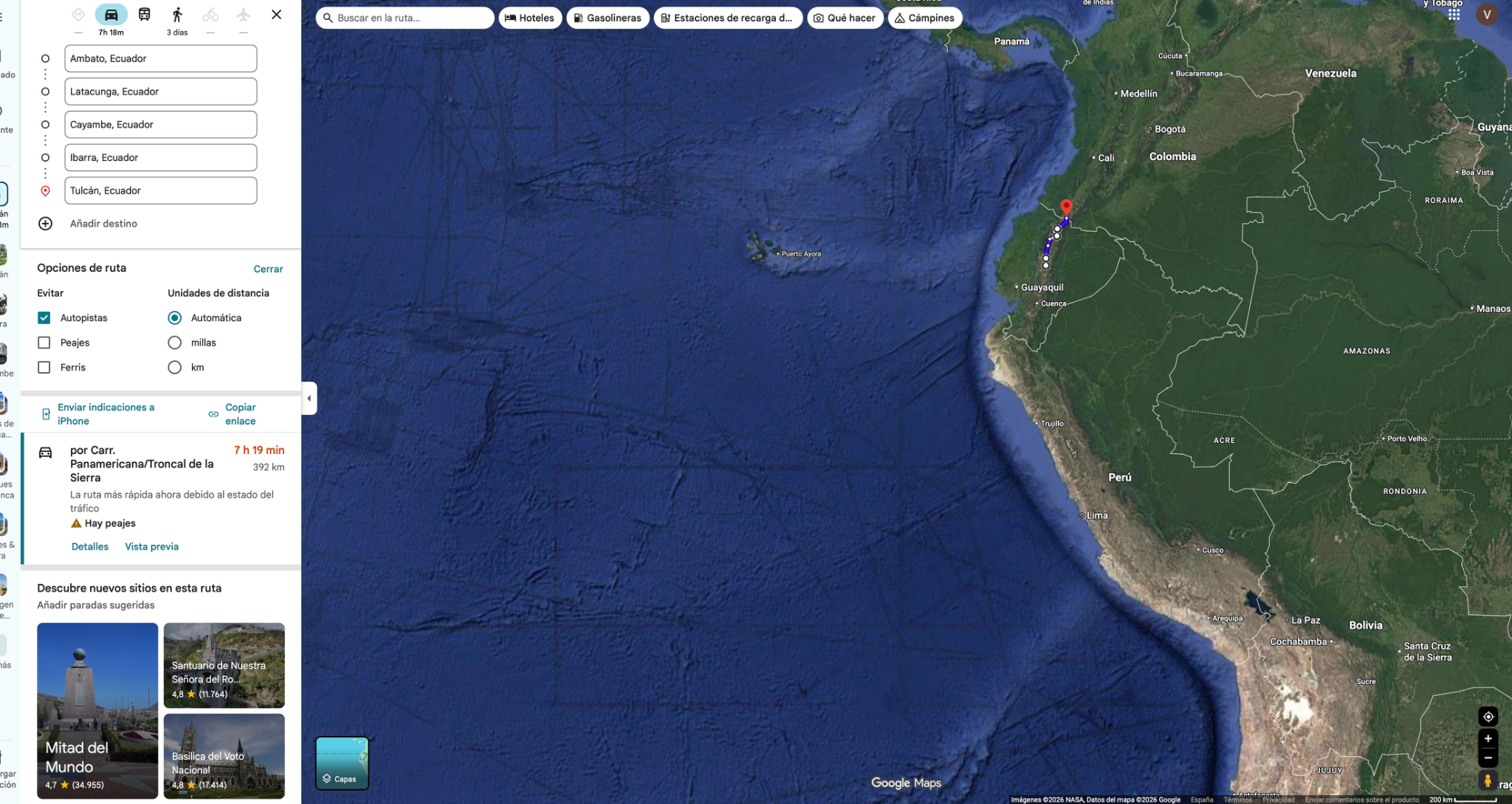
Today’s ride
Continue north through Latacunga, Cayambe and Ibarra toward Tulcán. This is a mix of highland road and busy town approaches, with an easy opportunity to turn one food break into a local speciality stop. Arrive early enough to organise tomorrow’s Colombia crossing.
Check local sunrise/sunset for this revised date; keep a daylight arrival margin.
Riding notes
Paved corridor · long / busy
Check the planned Quito bypass and keep tomorrow’s border papers accessible.
Worth the stopCayambe bizcochos or Ibarra helados de paila
Crisp bizcochos with queso de hoja make a distinctive Cayambe snack; Ibarra’s traditional paila ice cream offers a different local treat. Turn one normal food break into the experience instead of adding two separate stops.
Cayambe’s Paradero del Bizcocho is a family business with more than 40 years of tradition. Pair the crisp biscuit with queso de hoja or manjar, and make this one planned food break rather than two diversions.
Source ↗Local access estimate: 5–15 min. Food stop: 20–30 min. Total: 25–45 min; less extra if replacing your usual break.
Visitor information ↗When to do it · 6 January, Sunday: choose one food stop during normal daytime business hours. Individual bakery/ice-cream shop hours are not verified; do not delay arrival for a closed shop.
47Tulcán → PopayánRiding day
- Mapped distance · approx.
- 343.8 km
- Map travel baseline
- 6 h 47 min
- Allow for the whole day
- 9–11h
- Countries
- Ecuador → Colombia
- Accumulated km · planned
- 0 km
The route
Tulcán → Puente Internacional de Rumichaca → Popayán
View route reference image
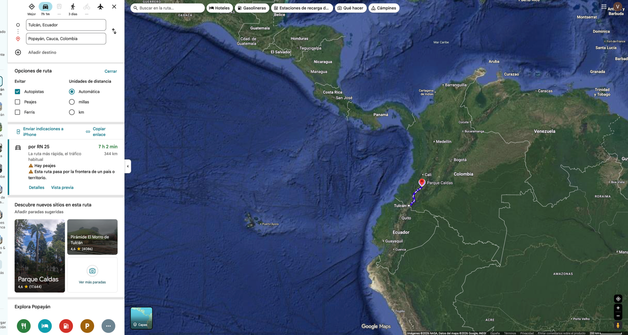
Today’s ride
An early border start protects a long ride through Pasto to Popayán. Expect winding Andean sections and variable progress around towns; this is not a day for a major sightseeing detour. Save the white-city walk for after parking, only if you arrive with energy.
Riding notes
Paved mountain road · demanding
Check current road and local security advice for Pasto–Popayán before departure; avoid night riding.
Worth the stopPopayán old town & pipián
White façades and quiet historic streets make Popayán particularly inviting on foot. Pair the walk with empanadas or tamales de pipián for a local food experience; it belongs after arrival, not as another motorcycle detour.
Popayán’s appeal is strongest on foot: its white façades frame a compact historic townscape. Ask for empanadas or tamales de pipián so dinner also introduces you to local cooking; review the approach-road security separately.
Source ↗From a central overnight base: 45–60 min for a short walk and snack. No extra route riding; skip if arrival is late.
Visitor information ↗Check local opening hours for this revised date. No admission, holiday service or motorcycle customs appointment is confirmed; resolve paperwork and active insurance beforehand.
Border crossingEcuador → Colombia · Rumichaca
- Where to go: Use Rumichaca International Bridge between Tulcán and Ipiales. Attend migration and the DIAN tourist-vehicle service before continuing toward Pasto.
- What to do: Close Ecuador vehicle admission and record migration exit/entry. Obtain Colombia temporary vehicle admission; keep the documents for eventual shipping/export.
- Documents: Passport or accepted travel ID, any entry permission required for your nationality, driving licence, original registration/ownership documents and authorization if the bike is not yours. Keep copies offline.
- For this crossing: Issued Colombia SOAT valid through the actual last riding/handover date; Ecuador admission record, ownership documents and Colombia migration entry for DIAN.
- Timing: Use the dated operating baselines and daylight targets below; reconfirm both sides before travel.
Dated hours & daylight planning
Checked November 19, 2026. Local 24-hour times. Published baselines need reconfirmation for the travel date and holidays; suggested times are targets, not appointments.
Rumichaca, Ecuador → Colombia. SENAE’s tourist-vehicle procedure lists 24-hour service here; Colombia Migración lists 24-hour immigration control, and DIAN lists customs 7×24. Complete the Ecuador vehicle exit and Colombian tourist-vehicle temporary admission as separate formalities. Reconfirm current vehicle-desk service; an immigration opening alone is not proof of every customs function.
Arrive early from Tulcán with Colombian SOAT already active for every bike. Border hours are not insurance-sales hours. Do not plan to ride Pasto–Popayán after dark; preserve the existing route-security warnings and reassess daylight after formalities.
SENAE · tourist-vehicle procedure and 24-hour posts
SENAE · updated tourist-vehicle manual, 16 October 2026
Daylight riskEarly Rumichaca crossing is essential
Daylight risk: the shifted date invalidates the former solar-time calculation. Recheck local sunset, actual departure, border/ferry delays and a realistic stopping point. Do not plan a night finish to protect a reservation.
48Popayán → ArmeniaRiding day
- Mapped distance · approx.
- 310 km
- Map travel baseline
- 5 h 24 min
- Allow for the whole day
- 7–8h
- Country
- Colombia
- Accumulated km · planned
- 0 km
The route
Popayán → San Isidro → Armenia
Alternative route
Via Cartago and Alcalá
Use this only if the La Paila–Armenia approach is affected and the Cartago–Alcalá route is confirmed open. It adds about 53 km and 1 h 10 min. Both options share the earlier Popayán/Cali corridor, so it cannot bypass a closure there or resolve the regional security concerns.
363 km · about 6 h 35 min driving. Continue north to Cartago, then approach Armenia through Alcalá on 25VL/29Q. Allow 8–9 h overall, leave around 07:30 and skip extra tours. Confirm the actual closure location and road status first.
Driving estimate checked 11 Oct 2026; confirm current conditions. Dashboard and master line remain Plan A.View route reference image
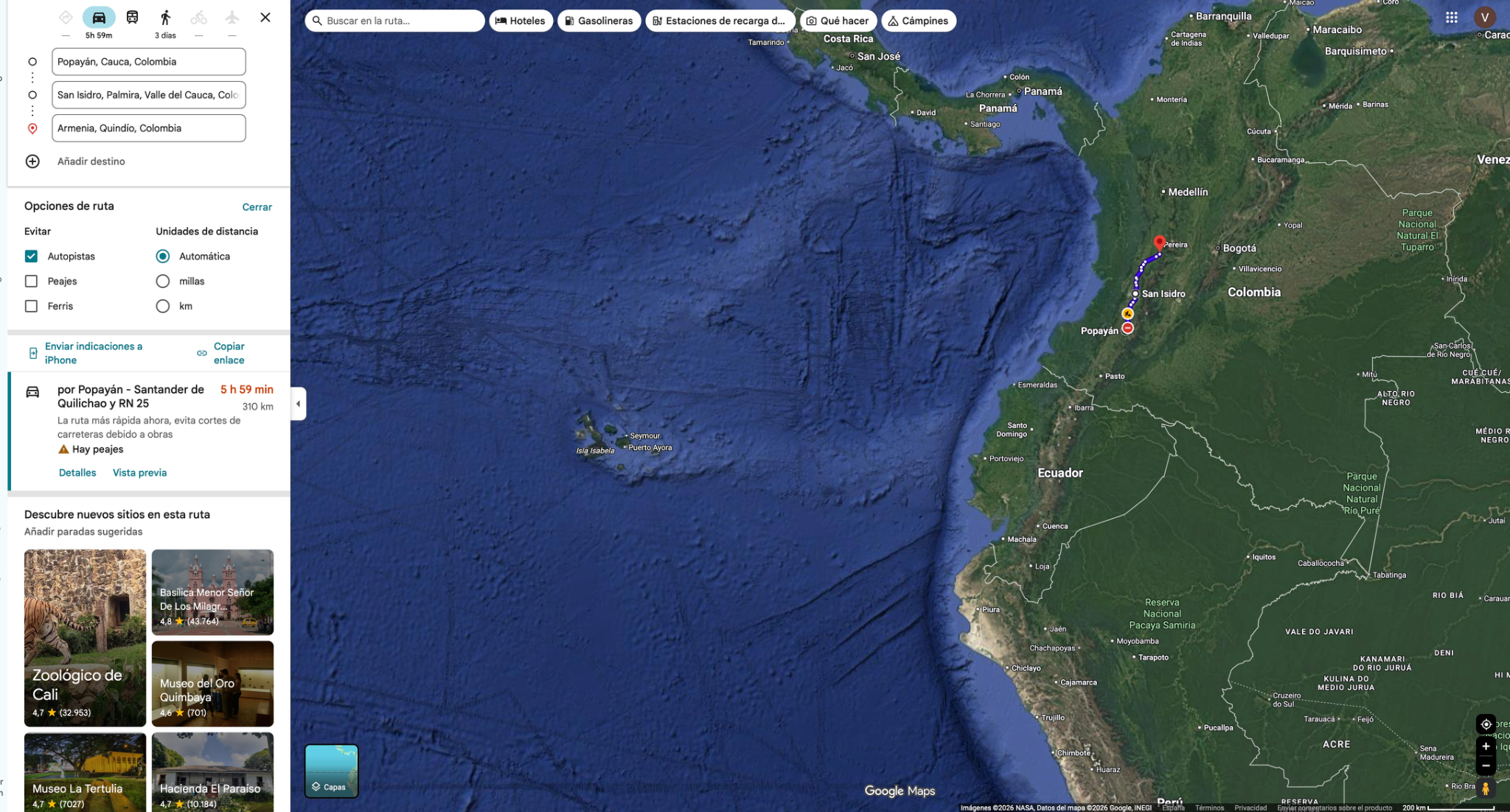
Today’s ride
Ride from Popayán through the Cauca valley toward the coffee region and Armenia. Broader valley roads give way to greener hills. Leave in the morning and check current road conditions before committing.
Check local sunrise/sunset for this revised date; keep a daylight arrival margin.
Riding notes
Paved corridor · moderate / long
Traffic around Cali/Palmira can slow progress. Confirm San Isidro remains on a suitable through route.
Worth the stopCoffee in the heart of Quindío
Armenia is a good place to make the evening coffee more than a caffeine stop. Ask for a local-origin cup and notice how the flavour differs from your usual coffee; the surrounding region’s identity is built around the crop. A full finca tour is a separate booking and is not included in today’s ride.
Quindío is part of Colombia’s Coffee Cultural Landscape. Ask the café which farm or area produced your cup; knowing the origin gives the flavour a connection to the green hills you have just ridden through.
Source ↗After parking: allow 20–40 min for the local walk or food stop. Access depends on your accommodation; this is not included in the road distance.
Colombia Travel · Armenia and coffee cultureWhen to do it · 8 January: confirm a café locally; no finca tour or museum opening is assumed.
49Armenia → Santa Fe de AntioquiaRiding dayLogistic task
- Mapped distance · approx.
- 300 km
- Map travel baseline
- 5 h 08 min
- Allow for the whole day
- 7–8h
- Country
- Colombia
- Accumulated km · planned
- 0 km
The route
Armenia → La Garrucha → Santa Fe de Antioquia
View route reference image
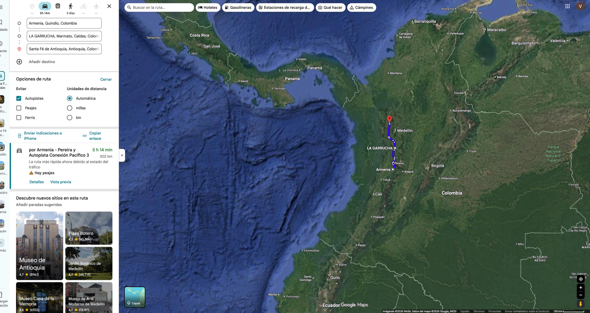
Today’s ride
Ride through the Coffee Region toward Santa Fe de Antioquia, using La Garrucha as a corridor anchor. The waypoint belongs to the municipality of Marmato; it does not call for a detour up to the mining town. Expect curves, trucks and variable mountain-road speeds.
Check local sunrise/sunset for this revised date; keep a daylight arrival margin.
Riding notes
Mountain roads · demanding
Keep the saved corridor through La Garrucha and check road status. Do not add a Marmato town-centre excursion simply because the municipality appears in the waypoint name.
Worth the stopColonial streets & tamarind sweets
Santa Fe de Antioquia’s shaded squares and colonial streets are an inviting contrast after a winding riding day. Try a tamarind sweet while exploring the centre slowly on foot; no bridge excursion or additional road loop is needed.
Santa Fe de Antioquia was founded in 1541. Its old streets give the tamarind-sweet stop a historical setting; enjoy the centre after parking instead of adding another motorcycle loop to the day.
Source ↗In-town walk: 30–60 min after parking. No added route riding from a central base; transport depends on your accommodation.
Visitor information ↗When to do it · 9 January: exterior town walk after parking. Shop hours for sweets are not verified; keep the experience flexible.
50Santa Fe de Antioquia → San Juan de UrabáRiding day
- Mapped distance · approx.
- 372 km
- Map travel baseline
- 7 h 17 min
- Allow for the whole day
- 9–10h
- Country
- Colombia
- Accumulated km · planned
- 0 km
The route
Santa Fe de Antioquia → Parque Principal de Chigorodó → Alcaldía Municipal de San Juan de Urabá
View route reference image
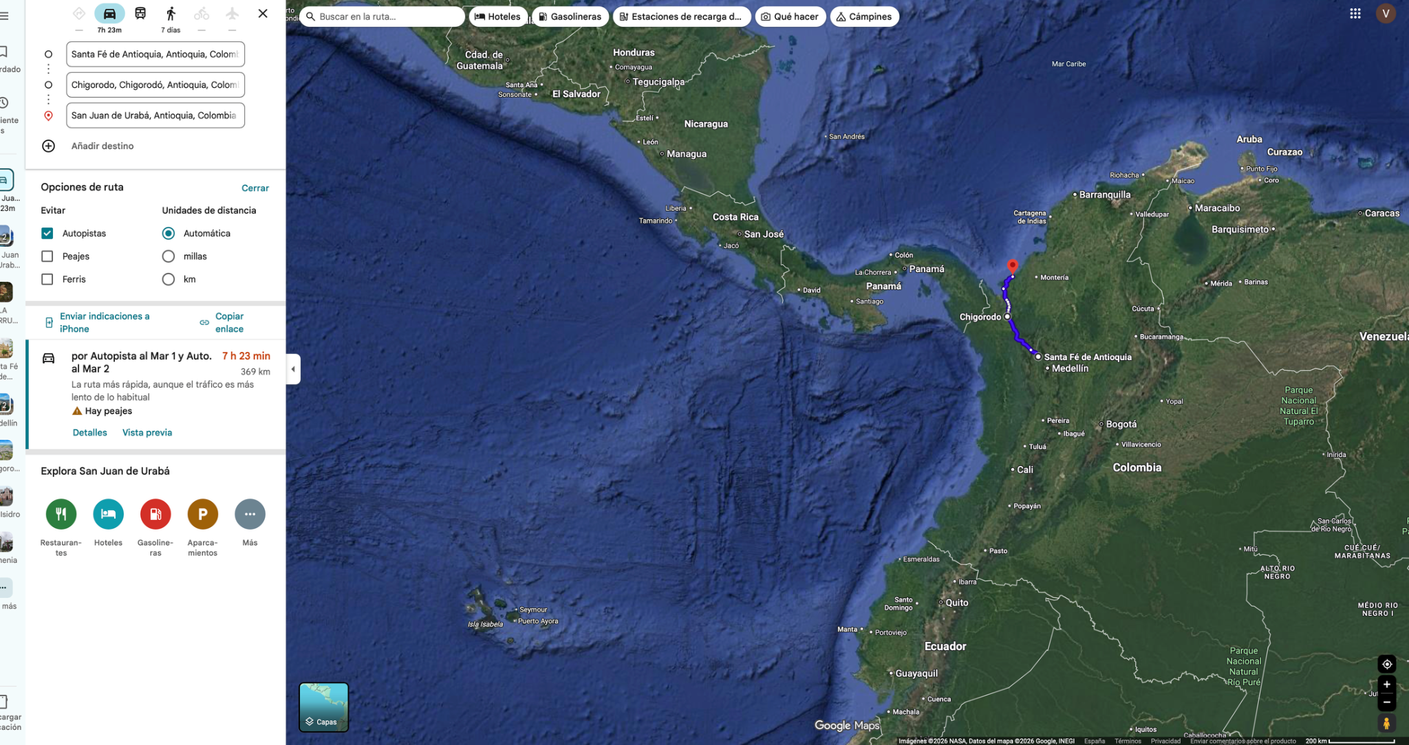
Today’s ride
A substantial stage toward the warmer Urabá region through Chigorodó. Start early and expect the feel of the trip to change from mountain country toward lower, more humid terrain. Keep the day focused on progress and arrive ready for the final run to Cartagena.
Riding notes
Mountain descent · demanding
Check works, rain-related disruption and local route advice before leaving.
Worth the stopArrive in Urabá with time to enjoy it
The shift from Antioquia’s mountains into tropical lowlands is the day’s main experience. Save your stop for the overnight town: a relaxed local meal is a better reward than another diversion after this long stage. No specific beach access or attraction has been confirmed for this evening.
Security review comes before sightseeing: the UK currently advises against all but essential travel to Urabá. Reassess this overnight corridor before committing to a local beach stop or the Turbo fallback.
Source ↗After parking: allow 20–40 min for the local walk or food stop. Access depends on your accommodation; this is not included in the road distance.
Colombia Travel · regional travel contextWhen to do it · Outdoor stop: use daylight and actual arrival time. No ticketed activity or indoor opening is assumed.
Daylight riskLeave around 07:00 to keep a daylight buffer
Daylight risk: the shifted date invalidates the former solar-time calculation. Recheck local sunset, actual departure, border/ferry delays and a realistic stopping point. Do not plan a night finish to protect a reservation.
- Mapped distance · approx.
- 270 km
- Map travel baseline
- 5 h 04 min
- Allow for the whole day
- 7–8 h
- Country
- Colombia
- Accumulated km · planned
- 0 km
The route
Santa Fe de Antioquia → Chigorodó → Turbo
Route for day 50 · Plan B ↗Google driving estimate checked 11 October 2026; stops, queues and future conditions can change the total.
Today’s ride · Plan B
Use Turbo as an earlier overnight if progress through the Urabá corridor is slow. Arrange accommodation with parking before arrival. This saves effort today but transfers it to tomorrow; it does not recover a lost day.
Check local sunrise/sunset for this revised date; keep a daylight arrival margin.
51San Juan de Urabá → CartagenaRiding day
- Mapped distance · approx.
- 324 km
- Map travel baseline
- 5 h 54 min
- Allow for the whole day
- 7–8h
- Country
- Colombia
- Accumulated km · planned
- 0 km
The route
Alcaldía Municipal de San Juan de Urabá → Cartagena de Indias
View route reference image
Today’s ride
The final coastal-country stage ends in Cartagena’s urban traffic. Leave in the morning and protect any confirmed motorcycle handover appointment before celebrating. Once parked, the walled city and a local dinner make a fitting finish; warehouse transfers are separate from the city-centre route.
Check local sunrise/sunset for this revised date; keep a daylight arrival margin.
Riding notes
Paved corridor · hot / busy
The city endpoint is not a confirmed shipping warehouse; navigate to the agent’s actual address for handover.
Worth the stopCartagena’s walled city & local dinner
The colourful streets and old walls give the journey a memorable finish. Make dinner part of the celebration with posta cartagenera or tropical fruit juices. Complete any motorcycle appointment first, then enjoy the city on foot.
Cartagena’s walls and port fortifications are part of a UNESCO World Heritage site. Explore the historic streets on foot after the motorcycle handover; the city’s architecture makes a fitting finish without a further road excursion.
Source ↗After parking: 30–60 min walk + 60–90 min dinner = 1½–2½ h. Local transport and warehouse transfers are separate.
Visitor information ↗When to do it · 11 January: confirm motorcycle handover before sightseeing. Reserve dinner directly if there is a particular restaurant you want; none is booked here.
- Mapped distance · approx.
- 432 km
- Map travel baseline
- 8 h 33 min
- Allow for the whole day
- 10–11 h
- Country
- Colombia
- Accumulated km · planned
- 0 km
The route
Turbo → San Juan de Urabá → Cartagena
Route for day 51 · Plan B ↗Google driving estimate checked 11 October 2026; stops, queues and future conditions can change the total.
Today’s ride · Plan B
Leave at first daylight, keep breaks short and skip optional stops. This is a demanding final day through the warm Caribbean lowlands, with urban traffic near Cartagena. The upper allowance leaves little daylight buffer: if weather or fatigue persists, the arrival deadline needs renegotiating.
Daylight riskPlan B · first-light departure from Turbo
Daylight risk: the shifted date invalidates the former solar-time calculation. Recheck local sunset, actual departure, border/ferry delays and a realistic stopping point. Do not plan a night finish to protect a reservation.
Fixed flight · bike handover must be complete
Provisional Cartagena arrival: Monday January 11 for BOTH schedules after the Christmas reset. January 11 is the observed Colombian Reyes holiday; do not assume the warehouse operates. Confirm the appointment, address, documents and cutoff with the shipping agent, ideally completing handover January 12–13. Airport transfer is Thursday evening January 14 for the 01:35 Friday January 15 flight (Cartagena local time). Flight is not a January 15 evening departure.
Any dependency moving Cartagena arrival beyond January 13 is a red flag requiring a new explicit plan. Even January 13 is not sufficient if the agent needs more lead time. Ferry disruption, glacier bookings, Christmas arrival, holiday service/insurance, border delays or a changed shipping cutoff must be reviewed before dates are treated as confirmed. No handover appointment is confirmed.
Colombia · holiday transfer law
Dated logistics & daylight planning
Checked November 19, 2026. Local 24-hour times. Published baselines need reconfirmation for the travel date and holidays; suggested times are targets, not appointments.
Colombia observes Three Kings Day on Monday January 11. Do not assume the shipping warehouse or broker accepts motorcycles on this holiday. Use Tuesday January 12 as the planning handover target unless Monday is explicitly confirmed. The appointment, warehouse, broker and cutoff remain unconfirmed; this note makes no booking. Keep the January 14 evening airport transfer and January 15 01:35 flight unchanged.
52Cartagena · rest / logisticsRest day
- Distance · approx.
- 0 km
- Riding time · estimate
- 0 h
- Country
- Colombia
Non-riding day in Cartagena. Rest and complete confirmed shipping arrangements. Handover appointment and cutoff remain unconfirmed; finish before the airport transfer Thursday evening January 14. No booking has been changed.
53Cartagena · rest / logisticsRest day
- Distance · approx.
- 0 km
- Riding time · estimate
- 0 h
- Country
- Colombia
Non-riding day in Cartagena. Rest and complete confirmed shipping arrangements. Handover appointment and cutoff remain unconfirmed; finish before the airport transfer Thursday evening January 14. No booking has been changed.
54Cartagena · rest / logisticsRest day
- Distance · approx.
- 0 km
- Riding time · estimate
- 0 h
- Country
- Colombia
Non-riding day in Cartagena. Rest and complete confirmed shipping arrangements. Handover appointment and cutoff remain unconfirmed; finish before the airport transfer Thursday evening January 14. No booking has been changed.
55Departure · Cartagena flight 01:35Rest day
- Distance · approx.
- 0 km
- Riding time · estimate
- 0 h
- Country
- Colombia
Non-riding departure day. Flight Friday January 15 at 01:35 local time; be at the airport Thursday night January 14, with bike handover already complete. This counts in the rest / logistics total, not as a full sightseeing day.
Cartagena de Indias
The riding route ends here. Our motorcycles return home by container.
Browse all tripsInsurance for the miles ahead.
Motorcycles traveling through South America: liability, SOAPEX, SOAT and the questions to resolve before riding.
Open the South America insurance guide ↗Before departureDocuments, bookings and trip preparation
- Insurance: confirm acceptance of your registration country, covered dates and all border entries.
- Vehicle collection: confirm release documents and an appointment before weekends or holidays.
- Ferries: book dated services early; check terminal, motorcycle space and check-in time.
- Excursions: confirm glacier operators, authorised access, tickets and revised meeting dates. Machu Picchu and its train have been removed; no bookings cancelled.
- Documents: keep insurance, vehicle papers and tickets offline; check policy activation.
- Schedule changes: move reminders with your dates and recheck office hours and holidays.
- Provisional Cartagena arrival January 11. Confirm bike handover before the January 14 evening airport transfer; fixed flight January 15 at 01:35. Glacier dates, crossings, accommodation, workshop appointments and policy dates require confirmation.
- Maintenance: book proposed service windows and parts against your exact model/year and odometer. Check tyres and pressures daily; maintain chains after rain/dust and according to the manual. Shaft-drive bikes have a different schedule.
Timing checked 11 October 2026. Sunrise/sunset are calculated at approximate town centres with local time zones; hills, cloud and road delays can reduce usable light. The 45-minute sunset buffer is a planning target. Published hours are not a dated booking; unresolved activities are marked above.
Provisional Cartagena arrival January 11. Confirm bike handover before the January 14 evening airport transfer; fixed flight January 15 at 01:35. Glacier dates, crossings, accommodation, workshop appointments and policy dates require confirmation.
Daily bike careOil checks, tyres and chain care · manuals
Use these quick checks throughout the trip. Links open the relevant PDF page; the printed page number is included if your phone ignores the page jump. Match the manual to your exact bike: the BMW year/VIN remains unconfirmed.
Oil changes · normal-use planning
- DS800 Rally: oil + filter every 6,000 km after running-in (manual table: 1,000 / 7,000 / 13,000 km…).
- 900DSX: follow the service-book milestones at 10,000 / 20,000 km after the first service. If departure is just after the 1,000 km service, only 9,000 km remain to the next milestone. Record the actual next due point.
- BMW R1200GS: oil + filter every 10,000 km or annually, whichever comes first; verify the manual against the actual model/year.
- Meet at the workshop together, but perform only the work due on each bike. Tyres, brakes and chains are replaced on inspection, not a fixed trip kilometre. Severe use can require shorter intervals.
Before riding · tyres
Check cold pressure, cuts and tread. Use the correct load specification for each bike; tyre replacement depends on condition, not a promised kilometre life.
Voge 800 · pp. 168–170Voge 900 · pp. 152–154BMW · pp. 146–147Oil level · each bike has its own method
Check using the manual’s temperature, stand, waiting time and dipstick/sight-glass procedure. A shared service date does not mean identical checking instructions or oil specifications.
Voge 800 · pp. 151–152Voge 900 · pp. 135–136BMW · pp. 138–139Voge chains · inspect daily; clean/lube as needed
Inspect tension and condition before riding; give extra attention after rain, dust or washing. Use seal-safe cleaner/lubricant and follow the illustrated method with the engine off. The BMW has shaft drive and no chain-lube task.
Voge 800 · pp. 166–168Voge 900 · pp. 150–151Running-in services will be complete before departure. All bikes start with fresh oil. Confirm each service-book/odometer due point at collection: the oil-change counter does not reset other scheduled work. BMW year/VIN still needs confirmation.
DS800 service table · p. 178900DSX service table · p. 163BMW service schedule · pp. 214–215Workshop contacts · use when work is due
These are candidates, not booked appointments. Confirm model acceptance, parts, opening hours and finish time before relying on a workshop.
Moto Pablo · Ushuaia
Independent workshop with long-distance rider reports. Listing: Int. Manuel Olmo 898. Candidate for oil/filter, tyre and general checks; ask specifically about the DS800 Rally, 900DSX and R1200GS, filter stock and diagnostic tools. Current appointment and exact-model expertise are unconfirmed.
Workshop / contact ↗Google Maps ↗Rider reports · historical ↗Pueyrredón Motos · Voge
Official Voge dealer advertising filters, fluids, tyres, engine and injection work. Service contact: +54 9 261 344 5434; confirm the workshop branch and drop-off address. Reserve both Voge filters and any tyre sizes before the visit.
Workshop / contact ↗Google Maps ↗Genco BMW Motorrad · BMW
BMW Motorrad dealer in Godoy Cruz. Rodríguez Peña 401; published general post-sale hours Mon–Fri 09:00–18:00. Service contact: +54 9 261 221 0998. Request a Motorrad appointment for the exact R1200GS year/VIN; car-dealer hours alone do not confirm motorcycle workshop availability.
Workshop / contact ↗Google Maps ↗BigTrail Center Perú · Lima alternative
Multi-brand adventure-bike workshop advertising diagnostic scanners, suspension work, tyre fitting and balancing. Av. Alfredo Benavides 4210, Surco; +51 966 406 202. Confirm both Voges and the BMW, parts and a shared appointment. Lima is an alternative service city, not a quick detour from Huacachina.
Workshop / contact ↗Google Maps ↗BMW Motorrad Perú · Lima alternative
Official BMW contact at Av. El Polo 1117, Surco; workshop appointments via [email protected]. Confirm the actual workshop reception address and R1200GS work. This is the BMW-specific alternative; servicing the Voges there has not been confirmed.
Workshop / contact ↗Google Maps ↗Mileage reminders use the selected itinerary, including modeled ferry kilometres. Local outings, detours and the actual odometer can bring a service forward. Record actual oil changes and next due points; the website is a planning estimate, not a live service log.